MyTopo
Classic USGS Willard SE Montana 7.5'x7.5' Topo Map
Regular price
$16.95
Regular price
Sale price
$16.95
Unit price
per
Couldn't load pickup availability
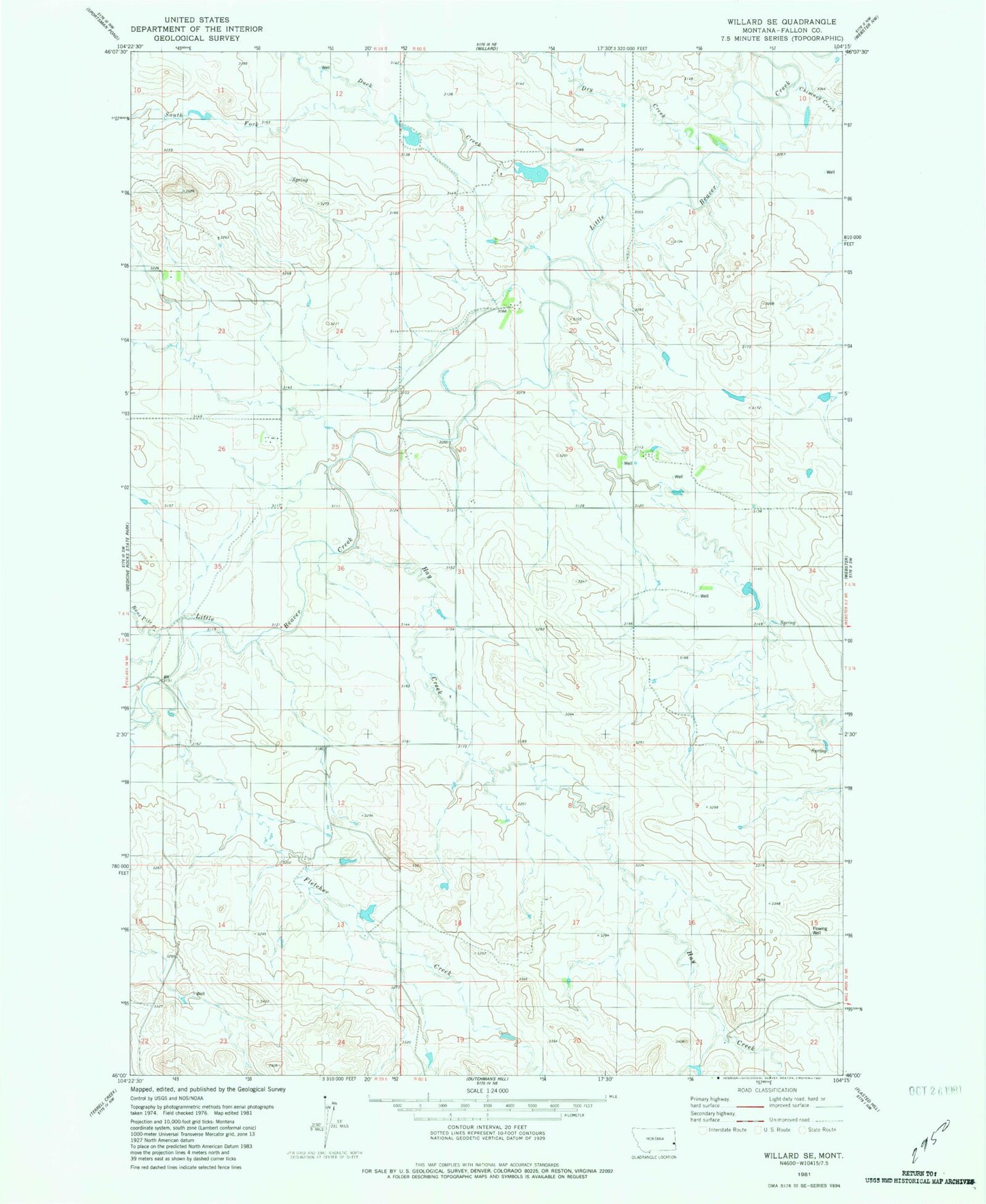
Historical USGS topographic quad map of Willard SE in the state of Montana. Map scale may vary for some years, but is generally around 1:24,000. Print size is approximately 24" x 27"
This quadrangle is in the following counties: Fallon.
The map contains contour lines, roads, rivers, towns, and lakes. Printed on high-quality waterproof paper with UV fade-resistant inks, and shipped rolled.
Contains the following named places: 03N59E23CC__01 Well, 04N59E14ACCB01 Well, Bone Pile Creek, Chimney Creek, Dry Creek, Duck Creek, Fletcher Creek, Hay Creek, South Fork Duck Creek, Traweek Number 2 Dam