MyTopo
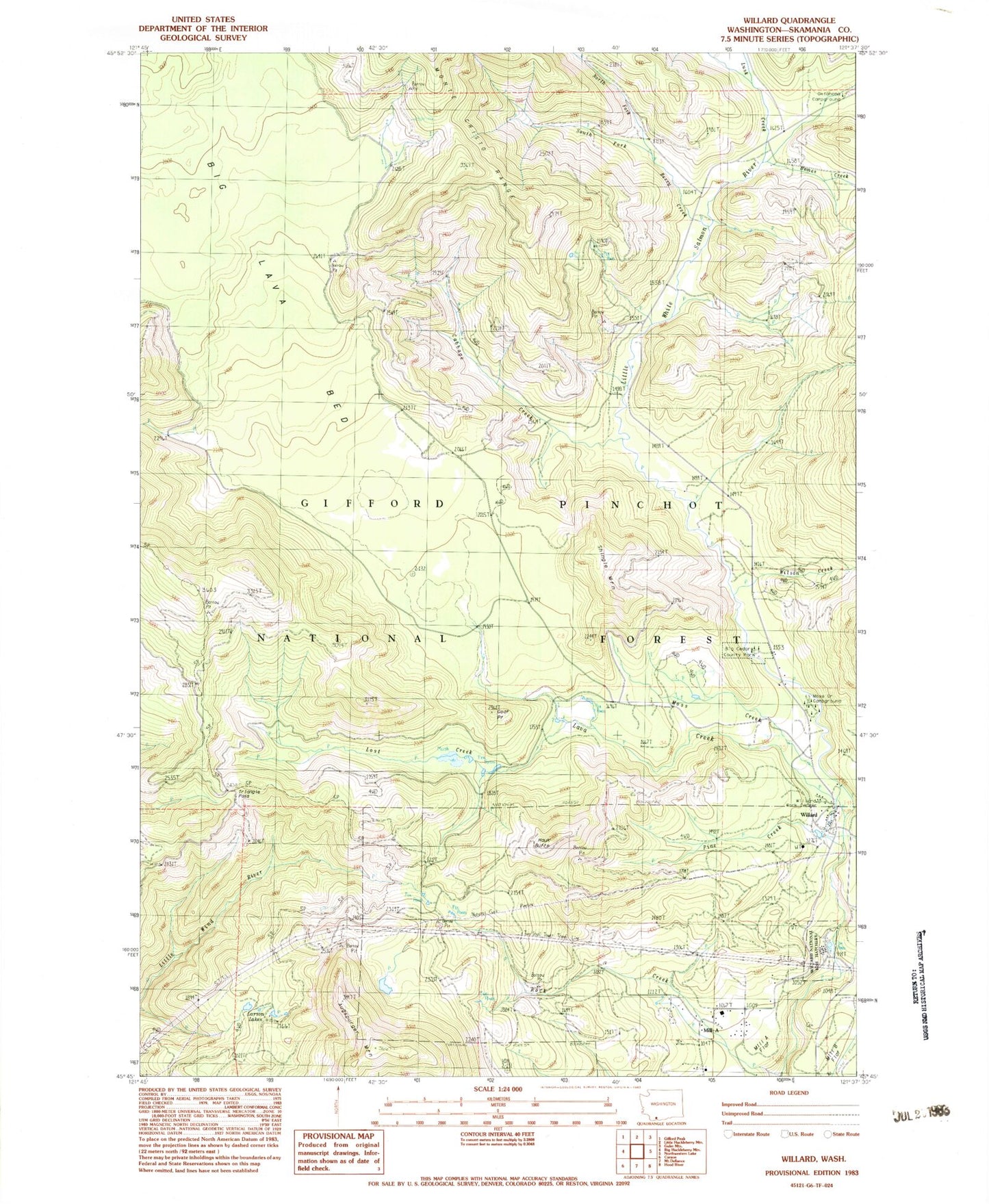
Classic USGS Willard Washington 7.5'x7.5' Topo Map
Couldn't load pickup availability
Historical USGS topographic quad map of Willard in the state of Washington. Map scale may vary for some years, but is generally around 1:24,000. Print size is approximately 24" x 27"
This quadrangle is in the following counties: Skamania.
The map contains contour lines, roads, rivers, towns, and lakes. Printed on high-quality waterproof paper with UV fade-resistant inks, and shipped rolled.
Contains the following named places: Berry Creek, Big Cedars County Park, Cabbage Creek, Carson-Underwood Division, Goat Point, Goat Point Trail, Hauk Butte, Homes Creek, Lapham Creek, Larson Lakes, Lava Creek, Little Wind River Camp, Lost Creek, Lusk Creek, Mill A, Mill A School, Mill A Volunteer Fire Department, Moss Creek, Moss Creek Campground, Nestor Peak Trail, North Fork Berry Creek, Pine Creek, Shingle Mountain, South Fork Berry Creek, Triangle Pass, Willard, Willard National Fish Hatchery, Willard Work Center, Wilson Creek, Zone II Engineering Station, ZIP Code: 98605