MyTopo
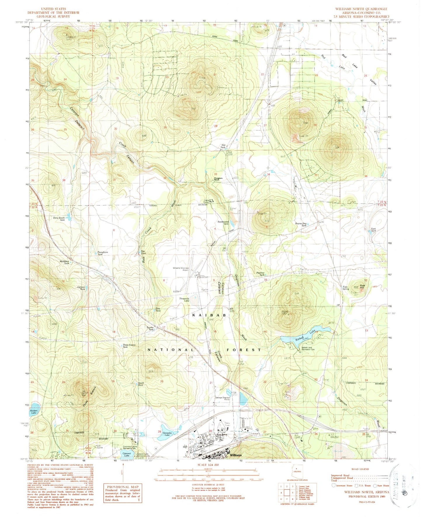
Classic USGS Williams North Arizona 7.5'x7.5' Topo Map
Couldn't load pickup availability
Historical USGS topographic quad map of Williams North in the state of Arizona. Map scale may vary for some years, but is generally around 1:24,000. Print size is approximately 24" x 27"
This quadrangle is in the following counties: Coconino.
The map contains contour lines, roads, rivers, towns, and lakes. Printed on high-quality waterproof paper with UV fade-resistant inks, and shipped rolled.
Contains the following named places: Atchison Topeka and Santa Fe Underpass, Camp Civitan, Canyon Gateway Recreational Vehicle Park, Canyon Tank, Cataract Lake, Cataract Lake Recreation Site, City of Williams Rodeo Grounds, City of Williams Wastewater Treatment Plant, City of Williams Youth Recreation Center, Coconino County Recreation Site, Dirty Smith Tank, Dogtown Wash, DT Tank, Fues Hill, Fues Spring, Fues Tank, Gonzalez Lake, Grand Canyon - Williams Kampgrounds of America, Grand Canyon Trading Post, H A Clark Memorial Field, Holden Lake, Junipine Volunteer Fire Department, Kaibab Dam, Kaibab Lake, Kaibab Lake Recreation Site Kaibab Lake Campground, Kaibab Mobile Home Park, KBWA-AM (Williams), KDAN-AM (Williams), Kingdom Hall of Jehovahs Witnesses, Muleshoe Tank, Pen Tank, Pine Creek Wash, Pine Tank, Pipeline Tank, Pit Tank, Prairie Dog Tank, Pronghorn Ranch, Pronghorn Tank, Red Lake Census Designated Place, Red Lake Fire Department, Red Lake Valley, Red Tank, Smith Lake, Smith Tank, Sweetwood Tank, Three Sisters, Three Sisters Tank, Threemile Lake, Topeka Tank, West Cataract Creek Dam, Williams Country Club, Williams Elementary Middle School, Williams Fire Department Station 2, Williams Little League Park and Municipal Swimming Pool, Williams Municipal Golf Course, Williams Overpass, Williams Post Office, Williams Railroad Station, Williams Ranger District


