MyTopo
Classic USGS Williams Prairie Oregon 7.5'x7.5' Topo Map
Couldn't load pickup availability
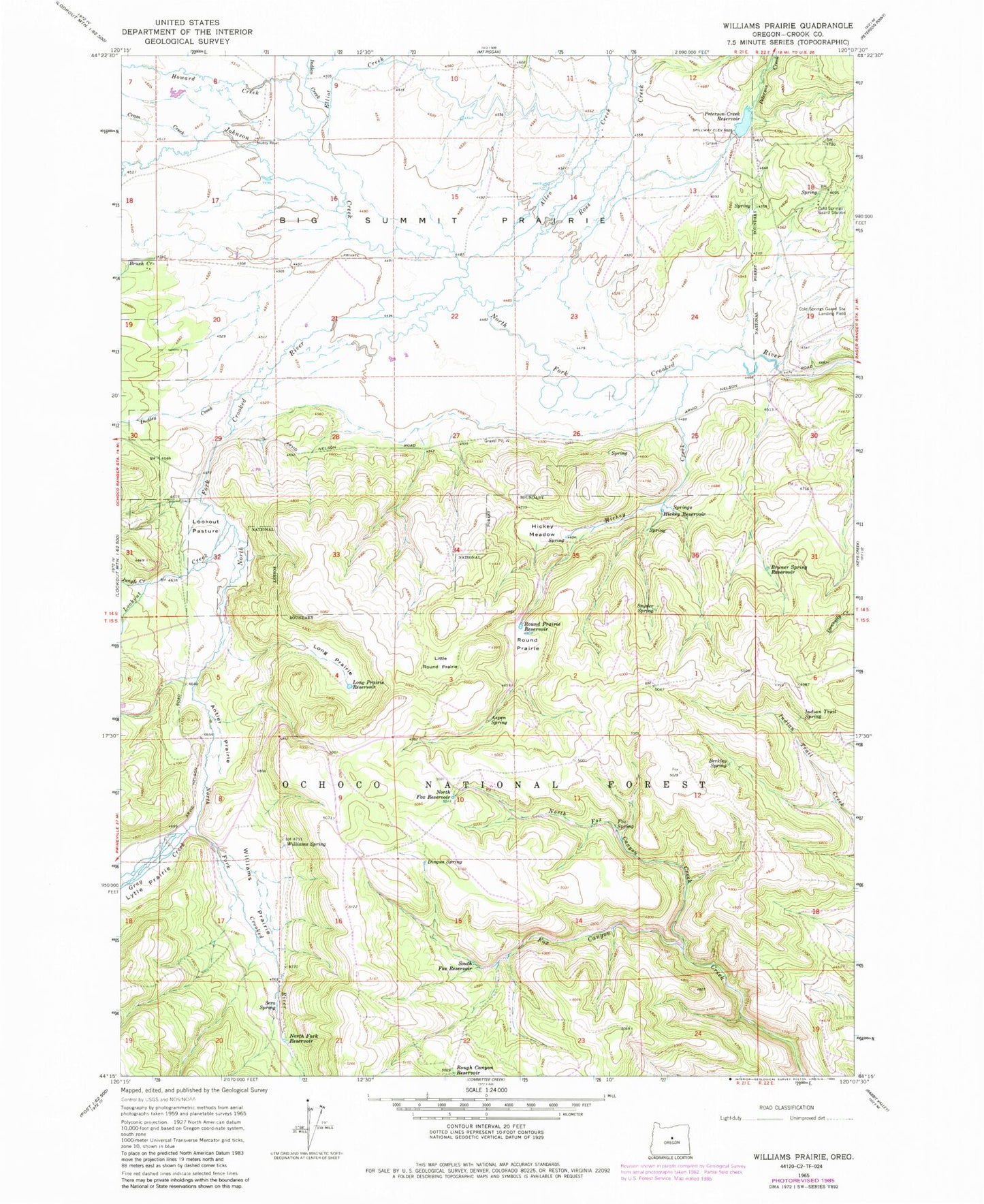
Historical USGS topographic quad map of Williams Prairie in the state of Oregon. Map scale may vary for some years, but is generally around 1:24,000. Print size is approximately 24" x 27"
This quadrangle is in the following counties: Crook.
The map contains contour lines, roads, rivers, towns, and lakes. Printed on high-quality waterproof paper with UV fade-resistant inks, and shipped rolled.
Contains the following named places: Allen Creek, Antler Prairie, Aspen Spring, Berkley Spring, Big Summit Prairie, Bruner Spring, Bruner Spring Reservoir, Brush Creek, Cold Spring Guard Station Landing Field, Cold Springs, Cold Springs Guard Station, Cram Creek, Crescent Post Office, Dingus Spring, Dudley Creek, Elliot Creek, Faith Reservoir, Fox Spring, Gill Ditch, Gill Ranch, Gill Reservoir, Gray Creek, Hellebore Spring, Hickey Creek, Hickey Meadow, Hickey Reservoir, Hope Reservoir, Howard Creek, Howard Ranch, Indian Creek, Indian Trail Spring, Johnson Creek, Jungle Creek, Little Round Prairie, Long Prairie, Long Prairie Reservoir, Lookout Creek, Lookout Pasture, Lucky Reservoir, Lytle Prairie, Meadow Post Office, North Fork Reservoir, North Fox Canyon Creek, North Fox Reservoir, Peterson Creek, Peterson Creek Dam, Peterson Creek Reservoir, Ross Creek, Rough Canyon Reservoir, Round Prairie, Round Prairie Reservoir, Sera Spring, Shovel Reservoir, Snyder Spring, South Fox Reservoir, Summit Prairie School, Williams Prairie, Williams Spring


