MyTopo
Classic USGS Williams South Arizona 7.5'x7.5' Topo Map
Couldn't load pickup availability
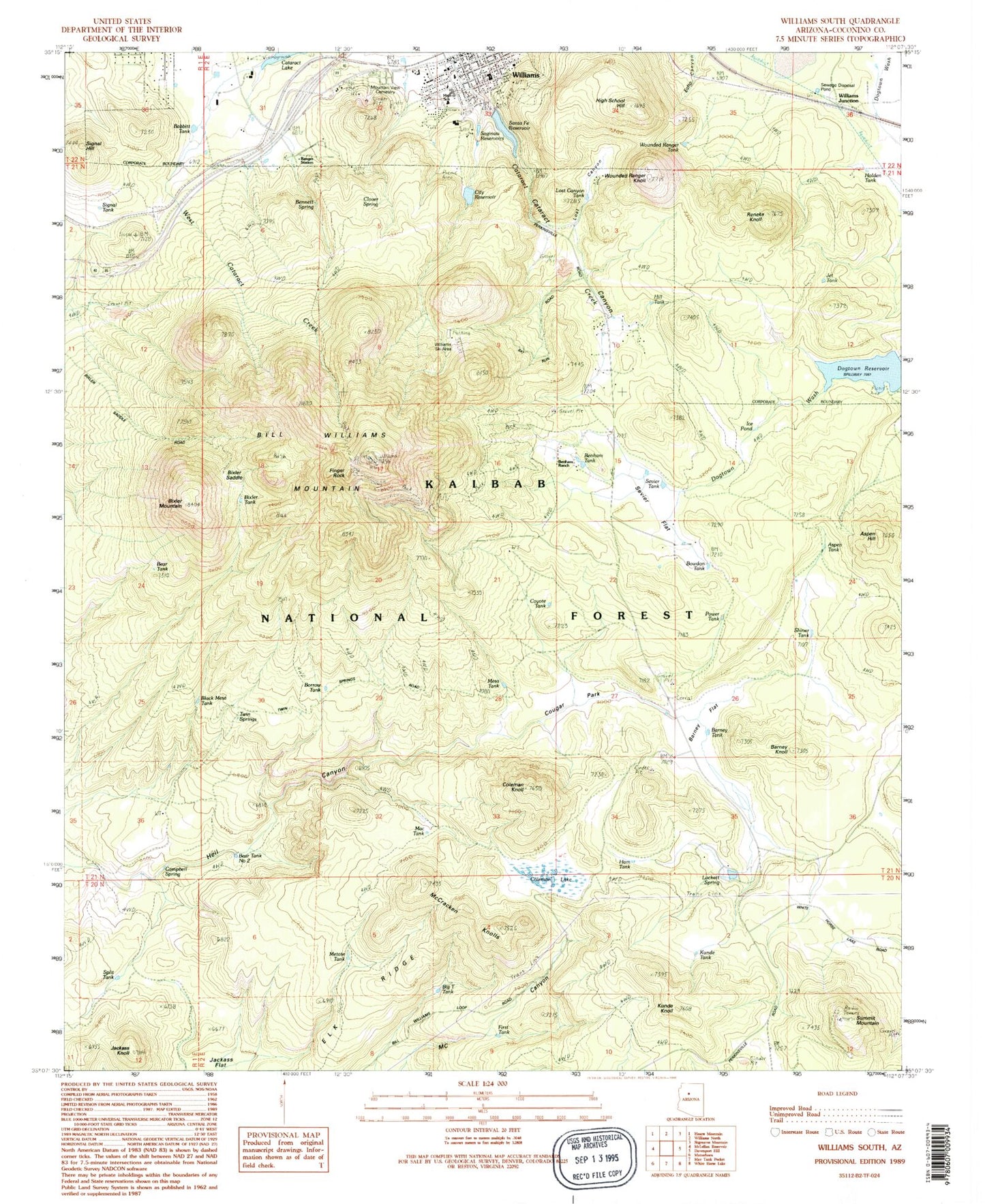
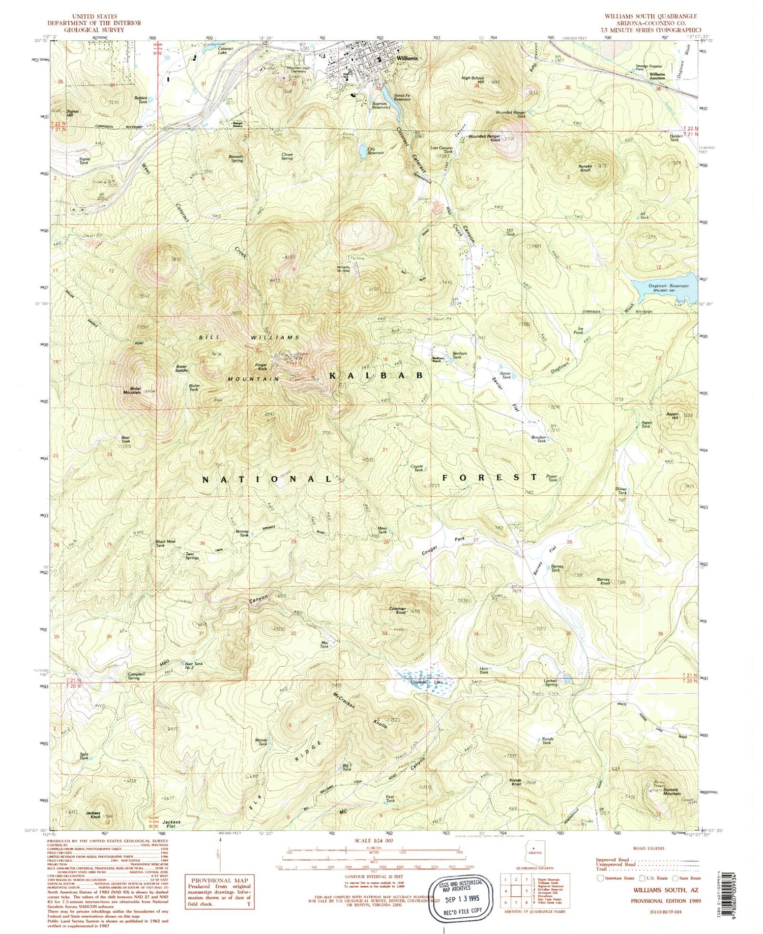
Historical USGS topographic quad map of Williams South in the state of Arizona. Typical map scale is 1:24,000, but may vary for certain years, if available. Print size: 24" x 27"
This quadrangle is in the following counties: Coconino.
The map contains contour lines, roads, rivers, towns, and lakes. Printed on high-quality waterproof paper with UV fade-resistant inks, and shipped rolled.
Contains the following named places: Aspen Hill, Babbitt Tank, Barney Flat, Barney Knoll, Barney Tank, Bear Tank, Benham Ranch, Bennett Spring, Bill Williams Mountain, Bowdon Tank, Camp Clover Ranger Station, Campbell Spring, City Reservoir, Clover Spring, Coleman Knoll, Coleman Lake, Dogtown Reservoir, Echo Canyon, Finger Rock, High School Hill, Ice Pond, Jackass Knoll, Kunde Knoll, Lockett Spring, Lost Canyon, McCracken Knoll Number One, McCracken Knoll Number Three, McCracken Knolls, Metate Tank, Reneke Knoll, Saginaw Reservoirs, Santa Fe Reservoir, Sevier Flat, Shiner Ranch (historical), Signal Hill, Summit Mountain, Twin Springs, West Cataract Creek, Williams, Williams Junction, Wounded Ranger Knoll, Wounded Ranger Tank, Aspen Tank, Benham Tank, Bixler Tank, Borrow Tank, City Dam, Concrete Dam, Dogtown Dam, Dogtown Picnic Ground, Elk Ridge, Ham Tank, Holden Tank, Lazy Tank, Lower Saginaw Reservoir, Mountain View Cemetery, Perrin Dam, Power Tank, Railroad Dam, Sevier Tank, Shiner Tank, Supui Tank, Upper Saginaw Reservoir, Lost Canyon Tank, Williams Grade School, Williams High School, Williams Health Care Center, Williams Microwave Relay Station, McCracken Knoll Number Two, Bixler Saddle, Chalender District Ranger Station, Signal Tank, Benham Snow Play Area, Bear Tank Number Two, Mac Tank, Big T Tank, Split Tank, First Tank, Kunde Tank, Williams District Ranger Station, Williams Ski Area, Mesa Tank, Coyote Tank, Cougar Park, Lockett Tank, AZ Trick Tank, Black Mesa Tank, RT Tank, Campbell Tank, Dogtown Campground, Benham National Recreation Trail, Bill Williams National Recreation Trail, Mountain Spring Tanks, Williams Ski Run, Bixler Mountain, Hill Tank, Jct Tank, JJ Tank, Bixler Saddle Trail, Benham Trail, City of Williams, Williams Municipal Court, First Baptist Church of Williams, Saint John's Episcopal Lutheran Church, Coconino County Sheriff's Office Williams District, Williams Police Department