MyTopo
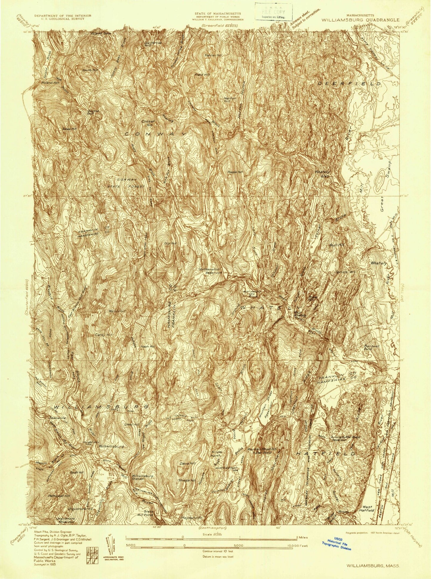
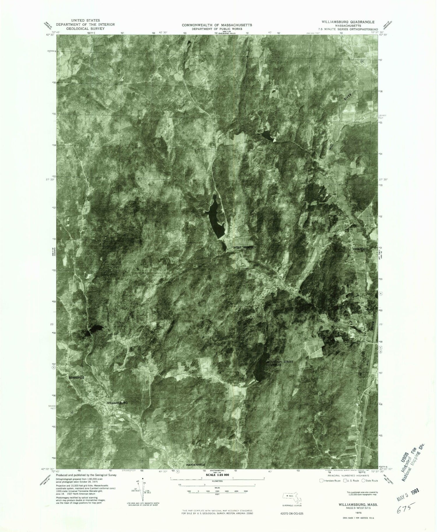
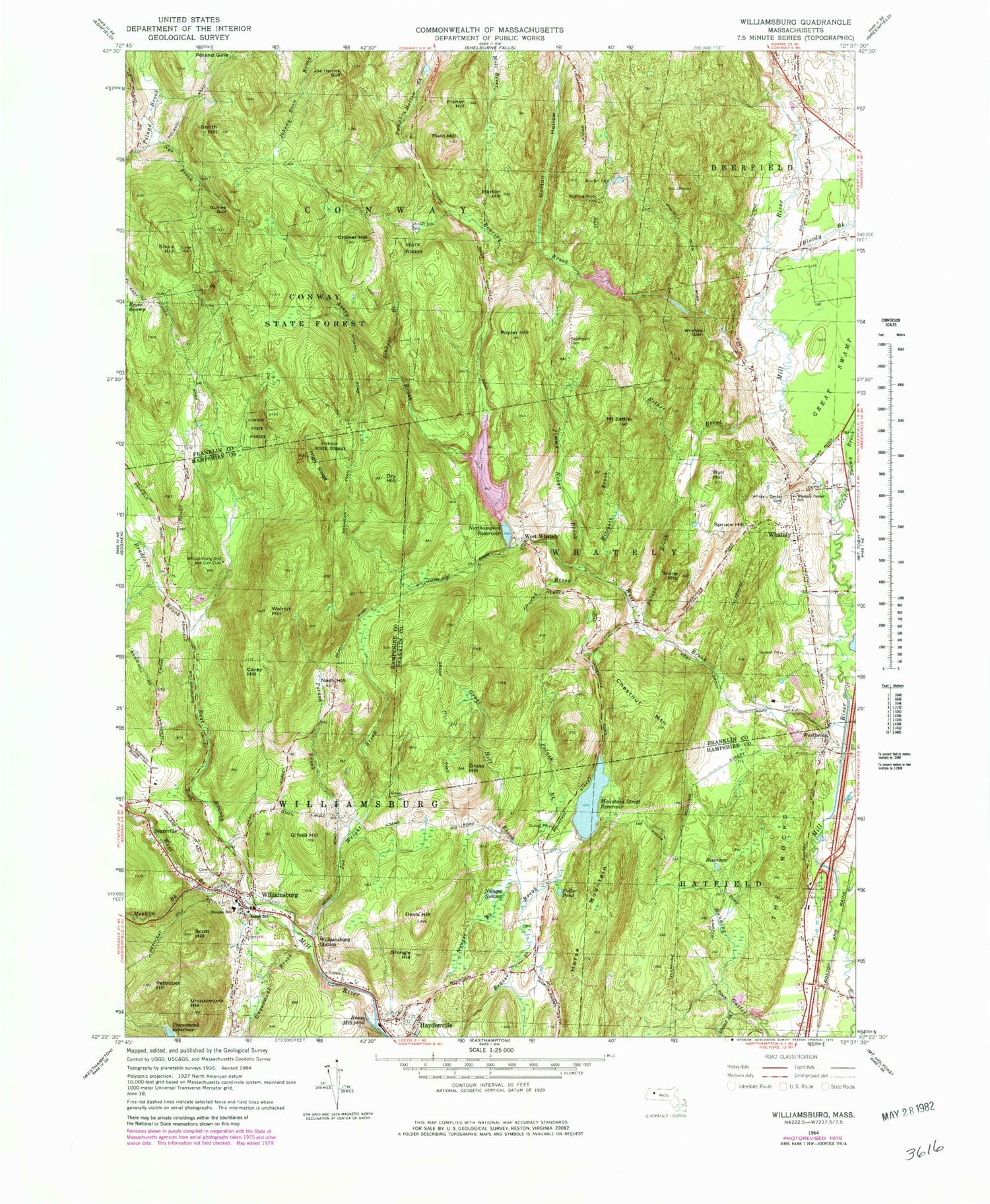
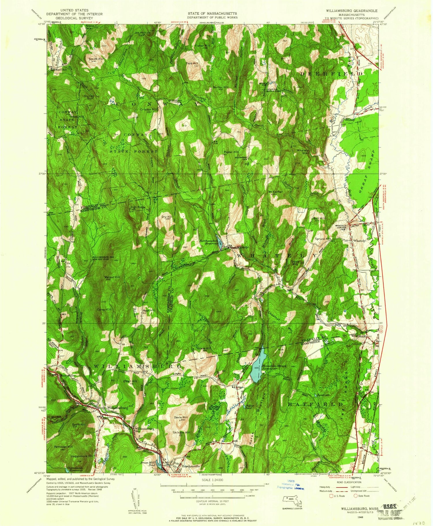
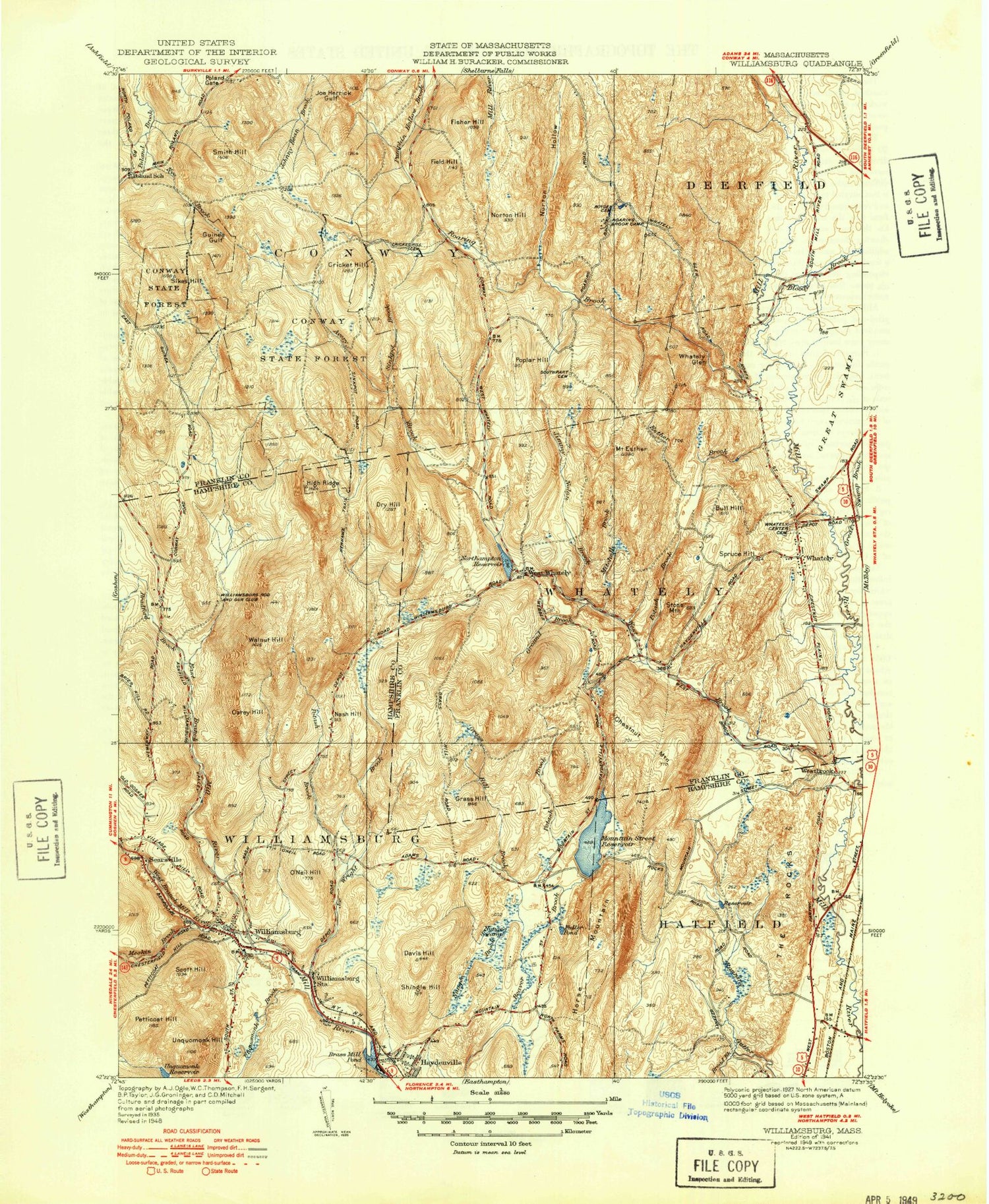
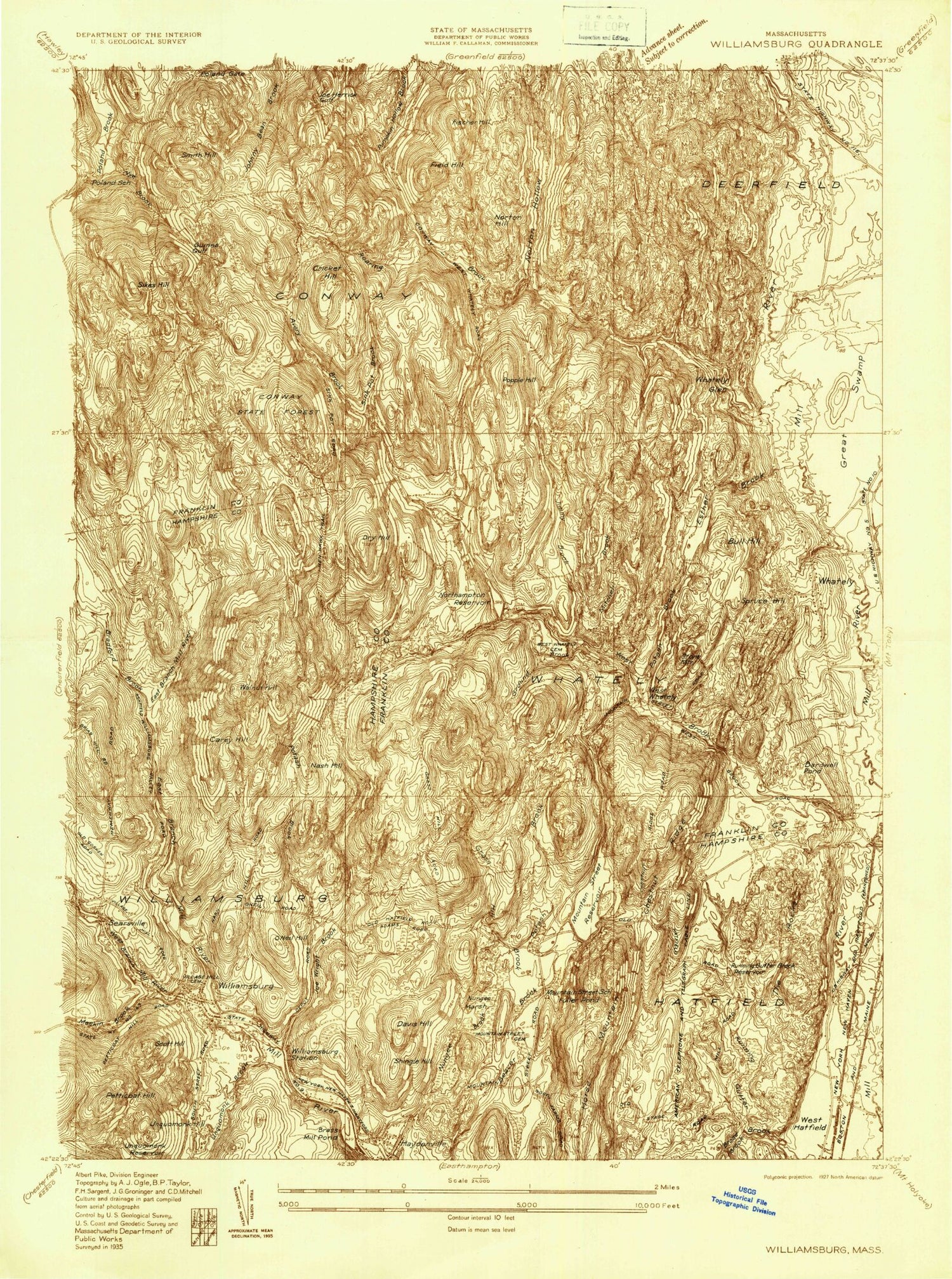
Classic USGS Williamsburg Massachusetts 7.5'x7.5' Topo Map
Couldn't load pickup availability
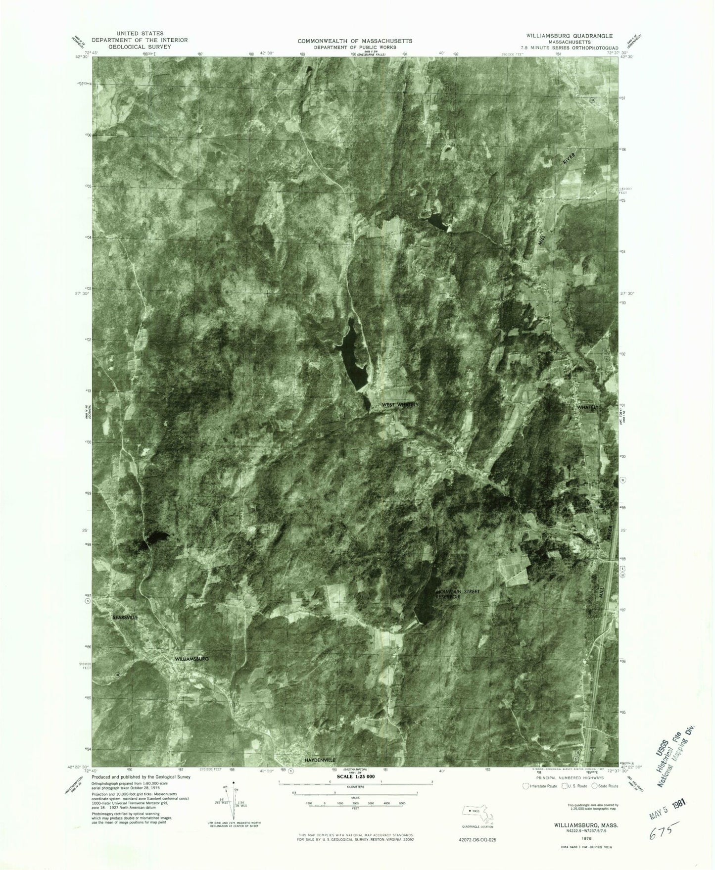
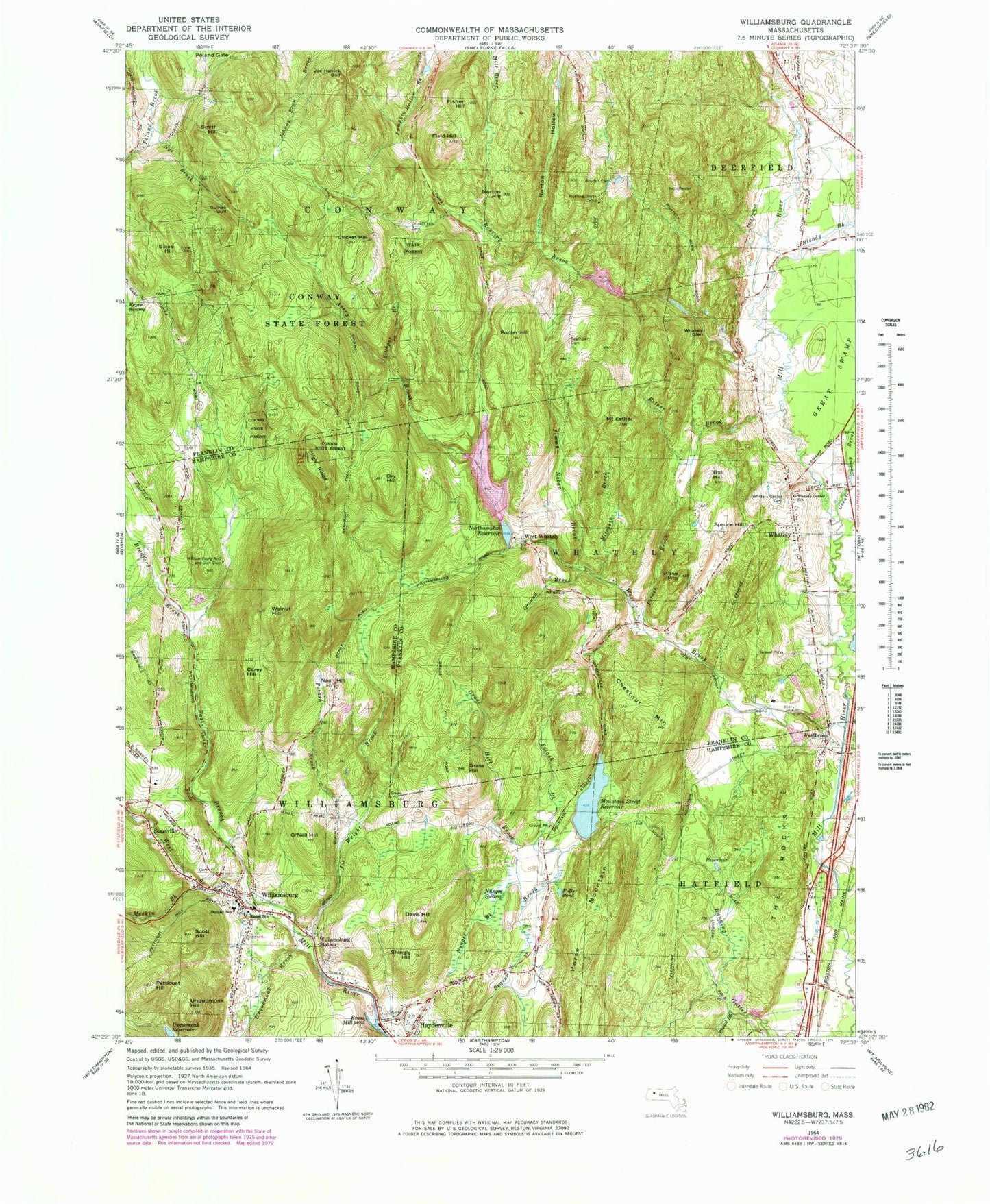
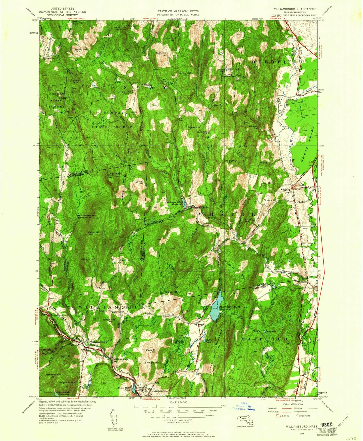
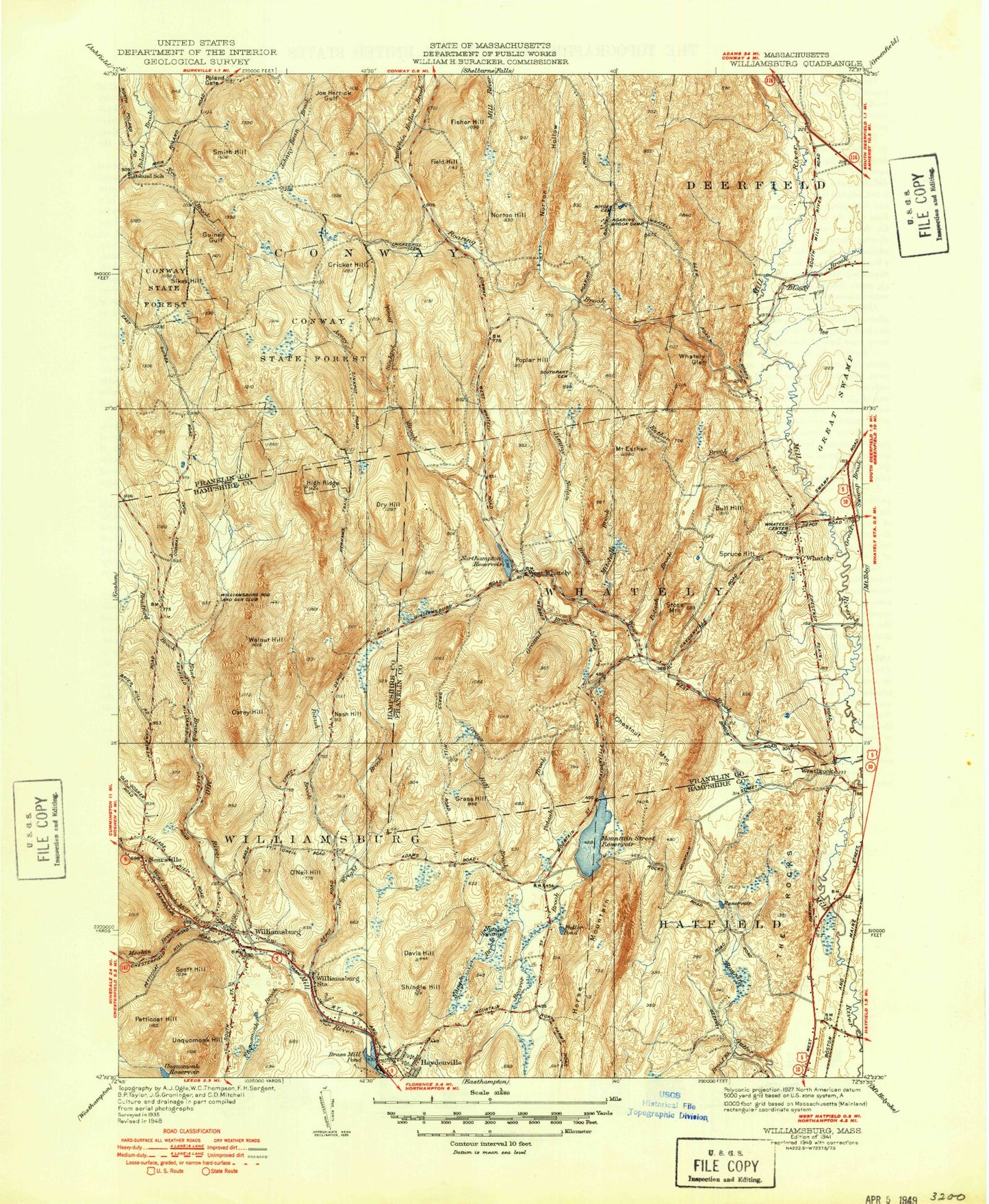
Historical USGS topographic quad map of Williamsburg in the state of Massachusetts. Typical map scale is 1:24,000, but may vary for certain years, if available. Print size: 24" x 27"
This quadrangle is in the following counties: Franklin, Hampshire.
The map contains contour lines, roads, rivers, towns, and lakes. Printed on high-quality waterproof paper with UV fade-resistant inks, and shipped rolled.
Contains the following named places: Northampton Reservoir, Boyden Cemetery, Anne T Dunphy School, James School, Williamsburg Rod and Gun Club, Conway State Forest, Cricket Hill Cemetery, Roaring Brook Camp, Whately Center School, South Part Cemetery, Whately Center Cemetery, Caldor Shopping Center, Northampton Reservoir Lower Dam, Northampton Reservoir Upper Dam, Northampton Reservoir Upper, South Deerfield Water Supply Dam, Roaring Brook Reservoir, Roaring Brook Dam, Conway Recreation Dam, Hog Mountain, Avery Brook, Bradford Brook, Bull Hill, Carey Hill, Chestnut Mountain, Cricket Hill, Davis Hill, Dry Hill, Esther Brook, Mount Esther, Field Hill, Fisher Hill, Fuller Pond, Grass Hill, Grass Hill Brook, Ground Brook, Guinea Gulf, High Ridge, Jimmy Nolan Brook, Joe Herrick Gulf, Joe Wright Brook, Meekin Brook, Mitchell Brook, Mountain Street Reservoir, Nash Hill, Norton Hill, Norton Hollow, Nungee Brook, Nungee Swamp, Nye Brook, O'Neil Hill, Petticoat Hill, Poland Gate, Poplar Hill, Potash Brook, Potash Brook, Potash Brook, Roaring Brook, Roaring Brook Camp, The Rocks, Searsville, Scott Hill, Shingle Hill, Sikes Hill, Sinkpot Brook, Smith Hill, Spruce Hill, Stone Mountain, Unquomonk Hill, Walnut Hill, West Brook, Westbrook, Whately, Whately Glen, Williamsburg, Williamsburg Station, Brass Millpond, Broad Brook, Haydenville, Horse Mountain, Unquomonk Brook, Bloody Brook, Great Swamp Brook, East Branch Mill River, West Branch Mill River, Cold Brook, Unquomonk Reservoir, Dry Hill, Poplar Hill Brook, Town of Wately, Town of Williamsburg, Poland Brook State Wildlife Management Area, Town of Whately, Whatley Post Office, Roaring Brook Camp Church, Whatley Post Office, Helen James School, Williamsburg Center Historic District, Williamsburg Post Office, Williamsburg Town Hall, Meekins Public Library, Quontquont Farm, Williamsburg Census Designated Place, Williamsburg Fire Department Station 1 Headquarters, Birchmere Farm and Dairy, Northampton Reservoir, Boyden Cemetery, Anne T Dunphy School, James School, Williamsburg Rod and Gun Club, Conway State Forest, Cricket Hill Cemetery, Roaring Brook Camp, Whately Center School, South Part Cemetery, Whately Center Cemetery, Caldor Shopping Center, Northampton Reservoir Lower Dam, Northampton Reservoir Upper Dam, Northampton Reservoir Upper, South Deerfield Water Supply Dam, Roaring Brook Reservoir, Roaring Brook Dam, Conway Recreation Dam, Hog Mountain, Avery Brook, Bradford Brook, Bull Hill, Carey Hill, Chestnut Mountain, Cricket Hill, Davis Hill, Dry Hill, Esther Brook, Mount Esther, Field Hill, Fisher Hill, Fuller Pond, Grass Hill, Grass Hill Brook, Ground Brook, Guinea Gulf, High Ridge, Jimmy Nolan Brook, Joe Herrick Gulf, Joe Wright Brook, Meekin Brook, Mitchell Brook, Mountain Street Reservoir, Nash Hill, Norton Hill, Norton Hollow, Nungee Brook, Nungee Swamp, Nye Brook, O'Neil Hill, Petticoat Hill, Poland Gate, Poplar Hill, Potash Brook, Potash Brook, Potash Brook, Roaring Brook, Roaring Brook Camp, The Rocks, Searsville, Scott Hill, Shingle Hill, Sikes Hill, Sinkpot Brook, Smith Hill, Spruce Hill, Stone Mountain, Unquomonk Hill, Walnut Hill, West Brook, Westbrook, Whately, Whately Glen, Williamsburg, Williamsburg Station, Brass Millpond, Broad Brook, Haydenville, Horse Mountain, Unquomonk Brook, Bloody Brook, Great Swamp Brook, East Branch Mill River, West Branch Mill River, Cold Brook, Unquomonk Reservoir, Dry Hill, Poplar Hill Brook, Town of Wately, Town of Williamsburg, Poland Brook State Wildlife Management Area, Town of Whately, Whatley Post Office, Roaring Brook Camp Church, Whatley Post Office, Helen James School, Williamsburg Center Historic District, Williamsburg Post Office, Williamsburg Town Hall, Meekins Public Library, Quontquont Farm, Williamsburg Census Designated Place, Williamsburg Fire Department Station 1 Headquarters, Birchmere Farm and Dairy, Northampton Reservoir, Boyden Cemetery, Anne T Dunphy School, James School, Williamsburg Rod and Gun Club, Conway State Forest, Cricket Hill Cemetery, Roaring Brook Camp, Whately Center School, South Part Cemetery, Whately Center Cemetery, Caldor Shopping Center, Northampton Reservoir Lower Dam, Northampton Reservoir Upper Dam, Northampton Reservoir Upper, South Deerfield Water Supply Dam, Roaring Brook Reservoir, Roaring Brook Dam, Conway Recreation Dam, Hog Mountain, Avery Brook, Bradford Brook, Bull Hill, Carey Hill, Chestnut Mountain, Cricket Hill
