MyTopo
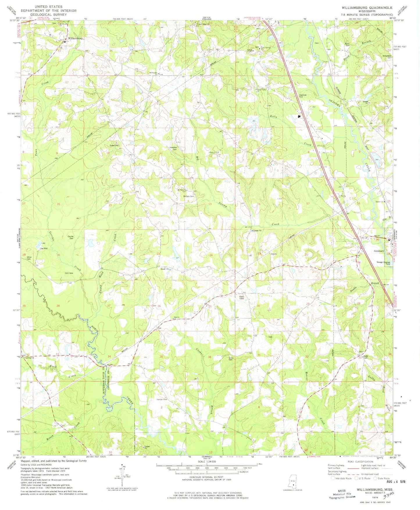
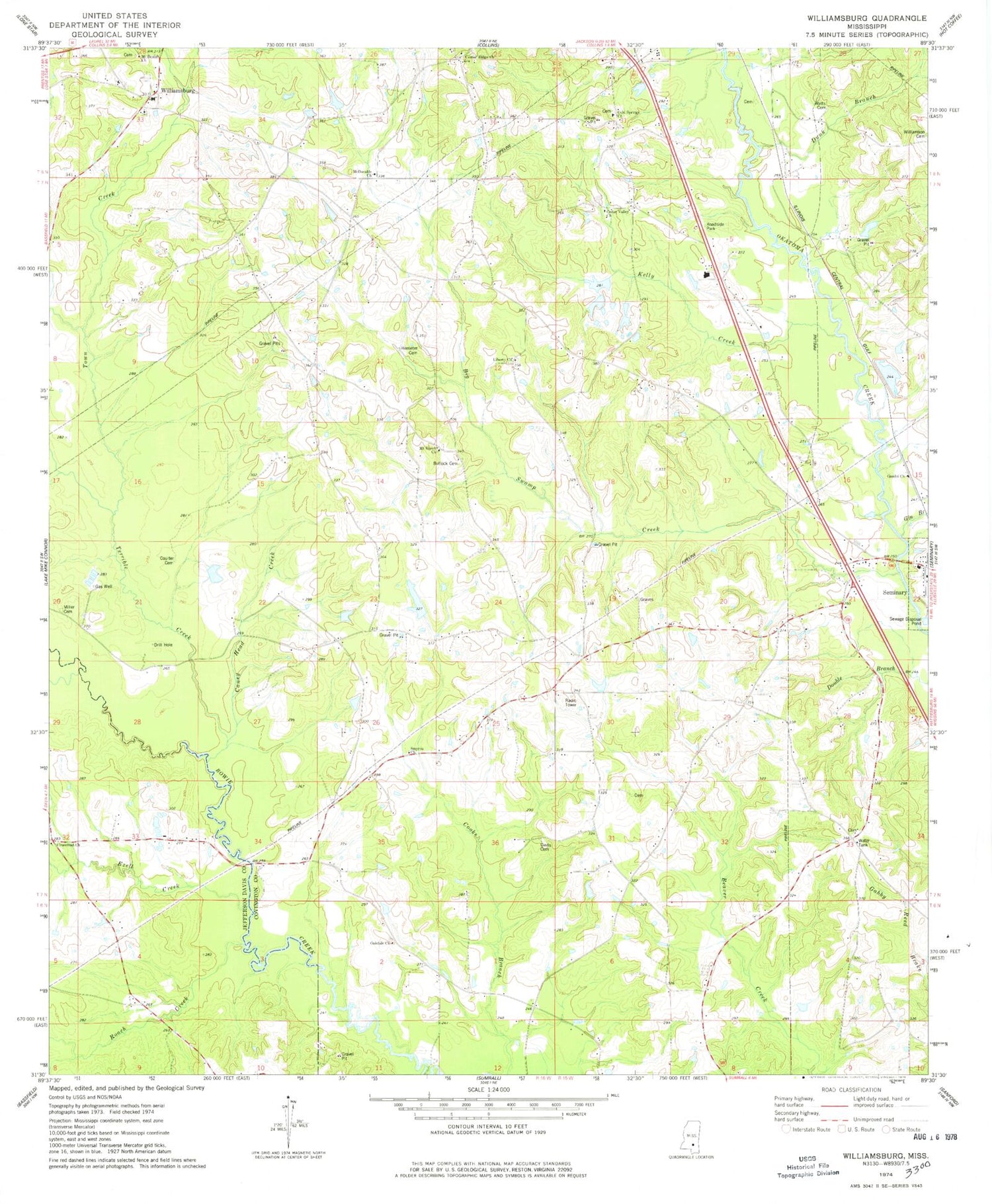
Classic USGS Williamsburg Mississippi 7.5'x7.5' Topo Map
Couldn't load pickup availability
Historical USGS topographic quad map of Williamsburg in the state of Mississippi. Map scale may vary for some years, but is generally around 1:24,000. Print size is approximately 24" x 27"
This quadrangle is in the following counties: Covington, Jefferson Davis.
The map contains contour lines, roads, rivers, towns, and lakes. Printed on high-quality waterproof paper with UV fade-resistant inks, and shipped rolled.
Contains the following named places: Atwood Family Cemetery, Big Swamp, Big Swamp Creek, Bullock Cemetery, Caney Head Creek, Caney Head School, Cedar Valley Church, Center Ridge Church, Cold Springs, Cold Springs Baptist Church, Cold Springs Cemetery, Cold Springs School, Coulter Cemetery, Davis Cemetery, Dunk Branch, Ezell Creek, Gandsi Church, Gin Branch, Hemeter Cemetery, Holiness Church, Holy Temple Cemetery, Kelly Creek, Kola School, Liberty, Liberty Baptist Church, Liberty Cemetery, McDonald, McDonald Cemetery, McDonald Presbyterian Church, Miller Cemetery, Mount Beulah Church, Mount Horeb, Mount Horeb Baptist Church, Mount Horeb Cemetery, Mount Horeb School, Oakdale Cemetery, Oakdale Church, Pineville School, Roach Creek, Saint Peters Church, Seminary at River Cemetery, Seminary Methodist Church, Smyrna Church, Southwest Covington Volunteer Fire Department, Supervisor District 1, Terrible Creek, Town Creek, Union School, W H Hughes Lake Dam, Watts Cemetery, West Bowie Creek, Williamsburg, Williamsburg Baptist Church, Williamsburg Catholic Church, Williamsburg Cemetery, Williamsburg Colored School, Williamsburg General Cemetery, Williamsburg Methodist Church, Williamsburg School, Willie Parker Lake Dam


