MyTopo
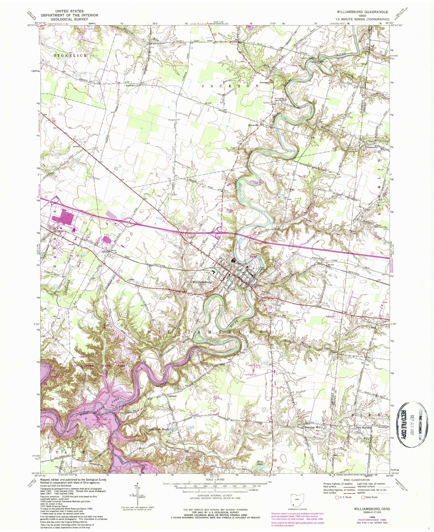
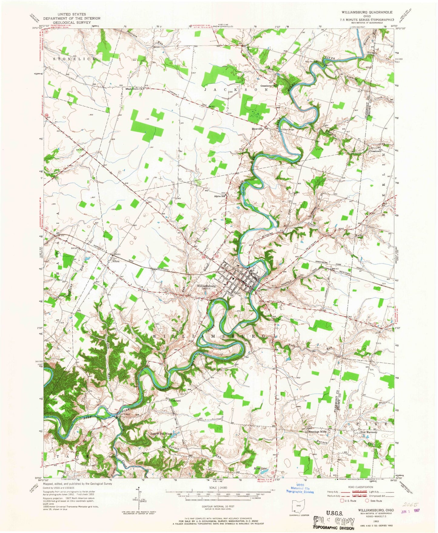
Classic USGS Williamsburg Ohio 7.5'x7.5' Topo Map
Couldn't load pickup availability
Historical USGS topographic quad map of Williamsburg in the state of Ohio. Typical map scale is 1:24,000, but may vary for certain years, if available. Print size: 24" x 27"
This quadrangle is in the following counties: Brown, Clermont.
The map contains contour lines, roads, rivers, towns, and lakes. Printed on high-quality waterproof paper with UV fade-resistant inks, and shipped rolled.
Contains the following named places: Blue Sky Park, Cabin Run, Concord, Crane Run, Crosstown, Fivemile Creek, Fourmile Creek, Greenberry Church, Hennings Mill, Howard Run, Kain Run, Maple Grove Church, Mims Lake, Lake O' the Woods, Pleasant Run, Twin Bridges, William H Harsha Lake, Afton, New Harmony, Williamsburg United Methodist Church, Williamsburg Presbyterian Church, De La Palma School (historical), Harbough School (historical), McKeever School (historical), Clover School (historical), Greenberry School (historical), Alpine School (historical), Williamsburg Elementary School, Williamsburg High School, Todd Run School (historical), East Fork Wildlife Area, Maple Grove School (historical), Corner School (historical), Kain Run School (historical), Antibantam School (historical), Williamsburg, Blowville, Williamsburg Church of Christ, Poplar Creek, Sixmile Creek, Todd Run, Dela Pama Fishing Lake Dam, Dela Pama Fishing Lake, Riveredge Country Club, Barnes Run, East Fork State Park, WOBO-FM (Batavia), Cloverlick Creek, Township of Williamsburg, New Harmony Cemetery, School Number 7 (historical), Williamsburg Branch Clermont County Public Library, Concord Cemetery, Williamsburg Cemetery, Crosstown Post Office (historical), New Harmony Post Office (historical), Hennings Mill Post Office (historical), Afton Post Office (historical), Williamsburg Post Office, Blowville Post Office (historical), Village of Williamsburg, Williamsburg Township Emergency Services, Stonelick Township Fire Department, Williamsburg Police Department, Old Boston Airport


