MyTopo
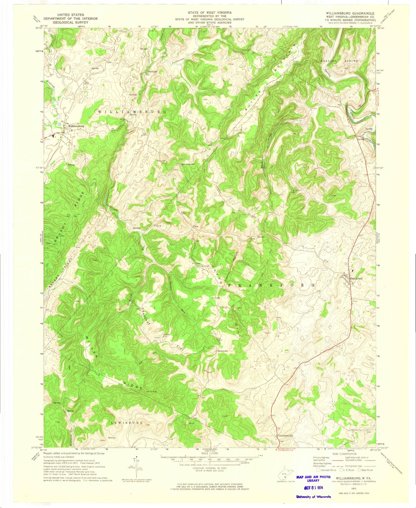
Classic USGS Williamsburg West Virginia 7.5'x7.5' Topo Map
Couldn't load pickup availability
Historical USGS topographic quad map of Williamsburg in the state of West Virginia. Map scale may vary for some years, but is generally around 1:24,000. Print size is approximately 24" x 27"
This quadrangle is in the following counties: Greenbrier.
The map contains contour lines, roads, rivers, towns, and lakes. Printed on high-quality waterproof paper with UV fade-resistant inks, and shipped rolled.
Contains the following named places: Asbury Fishing Lake Dam, Bethel School, Brantville, Buckeye Creek, Burns Run, Butler Mountain, Carroll Hill, Carroll Hill School, Castret Spring, Chestnut Flat, Chestnut Flat School, Clendenenville, Culverson Creek, Dansie School, Fort Donnally, Frankford, Frankford Elementary School, Frankford Post Office, Frankford Volunteer Fire Department, Germany School, Gravelpoint School, Greenbrier County, Head Spring, Highway Spring, Indian Creek, Kathy Farms Spring, Locust Spring School, Marshall Spring, Mary Immaculate Church, Matts Black Cave Spring, McClintic Spring, McFerrin Breakdown Cave Spring, Miller Ridge, Mount Vernon School, Mountain View School, Northern Greenbrier Ambulance Service, Oak View School, Pilgrim Rest Cemetery, Pilgrim Rest Church, Rapp School, Savannah School, Sinking Creek, Spencer Spring, Spruce Run, Sunlight, Thorny Hollow, Tuckwiller Spring, Unus, Unus Church, Wesley Chapel, Williams Spring, Williamsburg, Williamsburg Elementary School, Williamsburg High School, Williamsburg Post Office, ZIP Codes: 24938, 24957