MyTopo
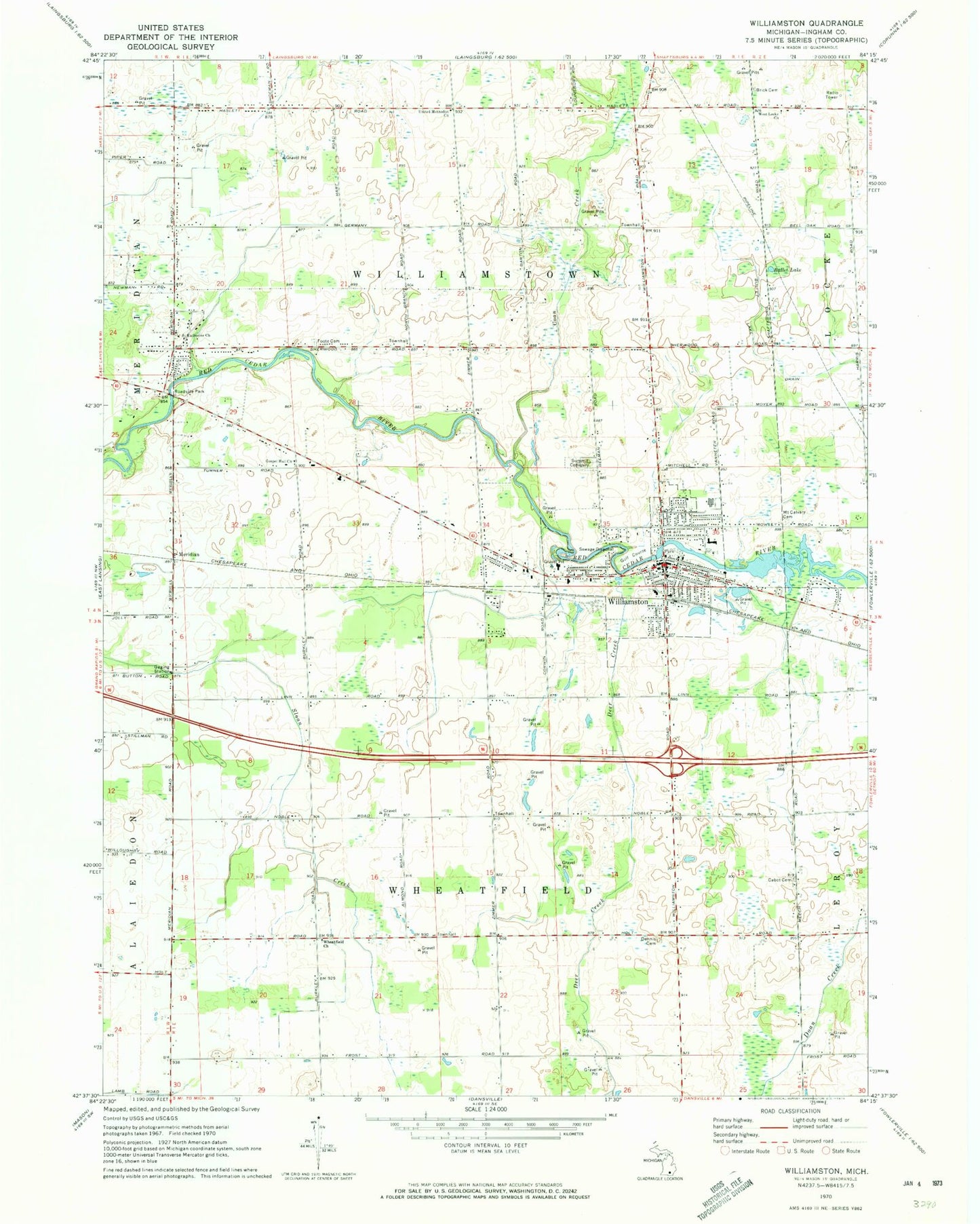
Classic USGS Williamston Michigan 7.5'x7.5' Topo Map
Couldn't load pickup availability
Historical USGS topographic quad map of Williamston in the state of Michigan. Map scale may vary for some years, but is generally around 1:24,000. Print size is approximately 24" x 27"
This quadrangle is in the following counties: Ingham.
The map contains contour lines, roads, rivers, towns, and lakes. Printed on high-quality waterproof paper with UV fade-resistant inks, and shipped rolled.
Contains the following named places: Brick Cemetery, Brookshire Golf Club, Bullet Drain, Bullet Lake, Cabot Cemetery, Chuch of Nazarene of Williamston, City of Williamston, Community Park, Coon Creek, Deer Creek, Dennis Cemetery, Discovery Elementary School, Explorer Elementary School, Family Health Center, First Baptist Church, Foote Cemetery, Gospel Hall Church, Grand River Trail Historical Marker, Maidens Airport, McCormick Park, Memorial Lutheran Church, Memorial Lutheran School, Memorial Park, Meridian, Meridian Post Office, Meridian Station, Mount Calvary Cemetery, Northeast Ingham Emergency Service Authority, Praise Fellowship Church, Red Cedar Evangelical Church, Saint James Orthodox Church, Saint Katherine Church, Saint Katherine's Chapel Historical Marker, Saint Katherine's Episcopal Cemetery, Saint Mary Catholic School, Saint Mary Parish Historical Marker, Saint Mary's Catholic Church, Seventh-Day Adventist Church, Seventh-Day Adventist School, Summit Cemetery, Township of Wheatfield, Township of Williamstown, United Methodist Church, West End Park, West Locke Church, Wheatfield Church, Wheatfield Valley Golf Course, Williamston, Williamston City Hall, Williamston Discovery Elementary School, Williamston Free Methodist Church, Williamston High School, Williamston Library, Williamston Middle School, Williamston Police Department, Williamston Post Office, Williamston Primary Care Doctors, Williamston United Methodist Church, Willow Village Home Court, Winslow's Mobile Home Park, ZIP Code: 48895


