MyTopo
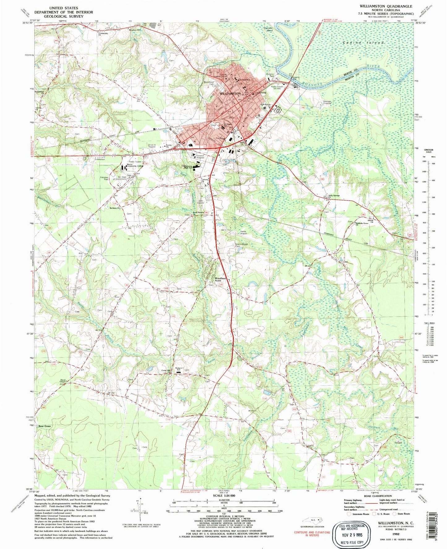
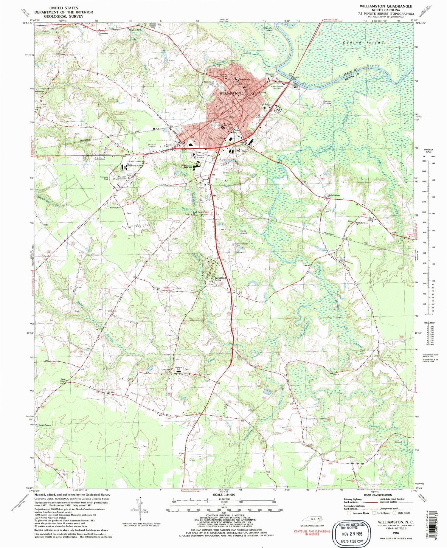
Classic USGS Williamston North Carolina 7.5'x7.5' Topo Map
Couldn't load pickup availability
Historical USGS topographic quad map of Williamston in the state of North Carolina. Map scale may vary for some years, but is generally around 1:24,000. Print size is approximately 24" x 27"
This quadrangle is in the following counties: Bertie, Martin.
The map contains contour lines, roads, rivers, towns, and lakes. Printed on high-quality waterproof paper with UV fade-resistant inks, and shipped rolled.
Contains the following named places: Back Swamp, Back Swamp Church, Barnabless Church, Bear Grass Fire / Rescue, Bethany Church, Calvary Church, Cedar Hill Church, Coastal Medical Transport - Williamston, Community Church, Conoho Bend, David Chapel, Dog Branch, E J Hayes School, Hardison Mill Creek, Harris Airport, Holly Springs Church, Holy Trinity Church, Kekukee Park, Kingdom Hall, Leggett Pond, Leggett Pond Dam, Martin Community College, Martin County, Martin County Courthouse, Martin County Health Center, Martin County Sheriff's Office, Martin General Hospital, Martin Plaza, Moratoc Park, Moratock Plaza, North Carolina Department of Corrections, Peter Swamp, Pierce Mobile Home Estates, Ready Branch, Riddicks Grove Church, Rodgers School, Shiloh Church, Skewakee Gut, Smithwick Creek, Staton-Biggs Cemetery, Sweetwater Creek, Town of Williamston, Township of Beargrass, Township of Williamston, Trinity Church, Vernon Church, WIAM-AM (Williamston), Williamston, Williamston City Hall, Williamston Fire Rescue Department and Emergency Medical Services, Williamston High School, Williamston Junior High School, Williamston Police Department, Williamston Post Office, Williamston Primary School, Williamston Rehabilitation and Health Care Center, Williamston Rescue Squad, Woodland Acres, Woodlawn Cemetery, WSEC-FM (Williamston), ZIP Code: 27892


