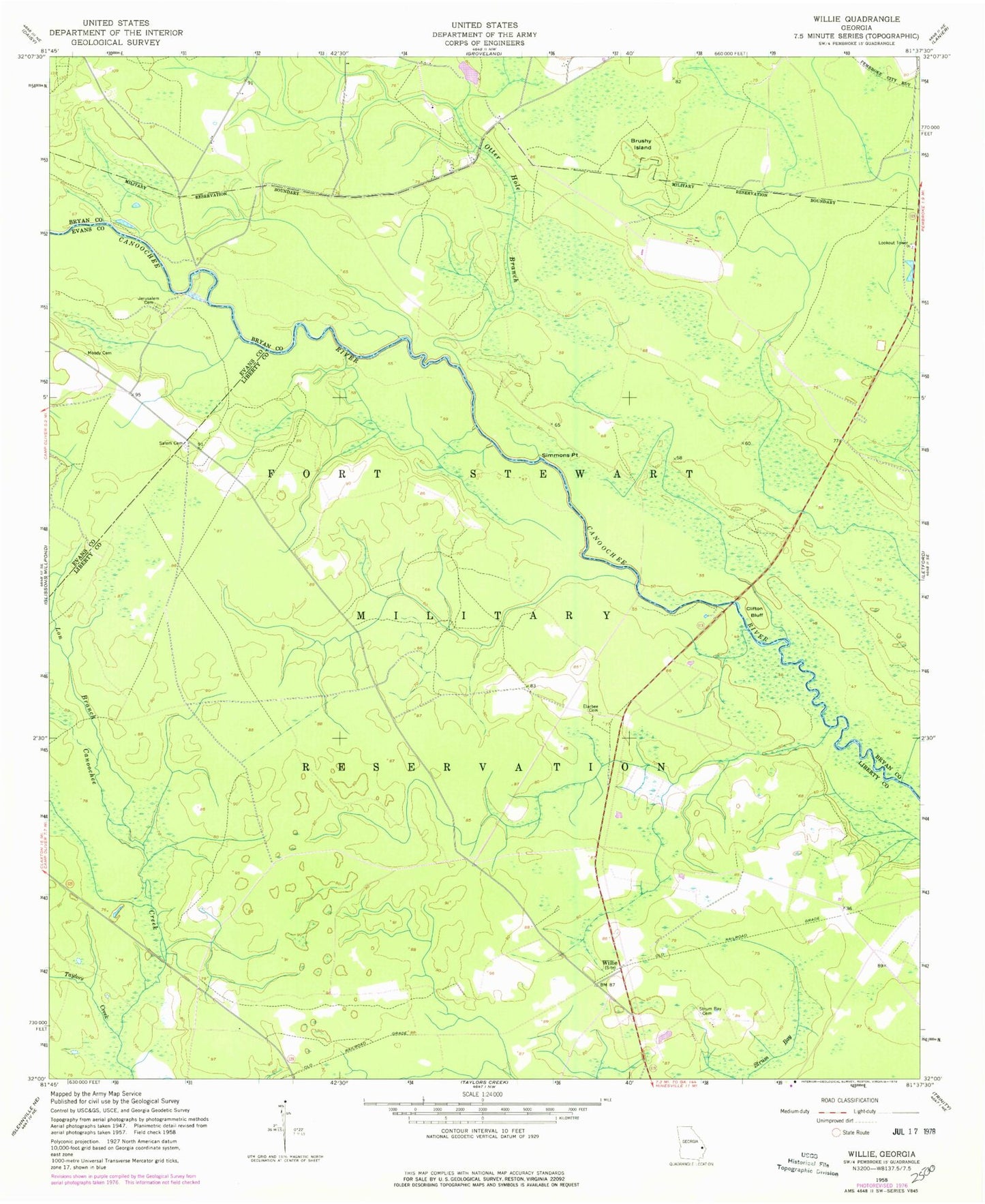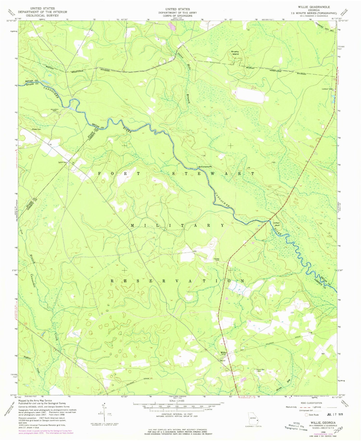
MyTopo
Classic USGS Willie Georgia 7.5'x7.5' Topo Map
Couldn't load pickup availability
Historical USGS topographic quad map of Willie in the state of Georgia. Map scale may vary for some years, but is generally around 1:24,000. Print size is approximately 24" x 27"
This quadrangle is in the following counties: Bryan, Evans, Liberty.
The map contains contour lines, roads, rivers, towns, and lakes. Printed on high-quality waterproof paper with UV fade-resistant inks, and shipped rolled.
Contains the following named places: Brushy Island, Clifton Bluff, Dukes, Edwards Rocks, Elarbee Cemetery, Floyd Landing, Jerusalem Cemetery, Long Branch, Moody Cemetery, Moodys Bridge, Mule Pen Landing, Oak Grove School, Otter Hole Branch, Salem Cemetery, Salem School, Short Road School, Simmons Point, Strum Bay, Strum Bay Cemetery, Taylors Creek, Willie