MyTopo
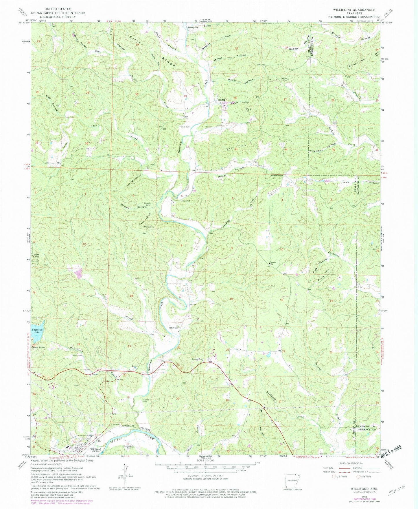
Classic USGS Williford Arkansas 7.5'x7.5' Topo Map
Couldn't load pickup availability
Historical USGS topographic quad map of Williford in the state of Arkansas. Map scale may vary for some years, but is generally around 1:24,000. Print size is approximately 24" x 27"
This quadrangle is in the following counties: Lawrence, Randolph, Sharp.
The map contains contour lines, roads, rivers, towns, and lakes. Printed on high-quality waterproof paper with UV fade-resistant inks, and shipped rolled.
Contains the following named places: Armstrong, Beard Hill, Big Barn Creek, Black Cemetery, Booth Creek, Bowers Hollow, Bradford Chapel, Bradford Chapel Cemetery, Bristol Church, Brown Hollow, Cartwright Hollow, Cave Hollow, Cole Hollow, Crawford Cemetery, Dail Cemetery, Dayberry Creek, Deadman Hollow, Eldridge Hollow, Ellis Branch, Ellis Ridge, Ellison Hill, Geisler Hollow, Groves Cemetery, Happy Hollow, Happy Valley, Hilltop, Humphrey Creek, Kellett Cemetery, King Hollow, Knapp Hollow, Levi Hill, Lige Branch, Little Barn Creek, Martin Creek Rural Fire Department, Martins Creek, Miller Hollow, Noth Cemetery, Powell Cemetery, Powell Hollow, Prewitt Hollow, Rader Hollow, Ratliff Cemetery, Section Branch, Spring Hollow, Town of Williford, Township of North Union, Township of South Union, Township of Union, Vagabond Lake Dam, Walley Hollow, Ward Hill, Wicker Cemetery, Williford, Williford Elementary School, Williford High School, Williford Methodist Church, Williford Volunteer Fire Department, ZIP Codes: 72459, 72482


