MyTopo
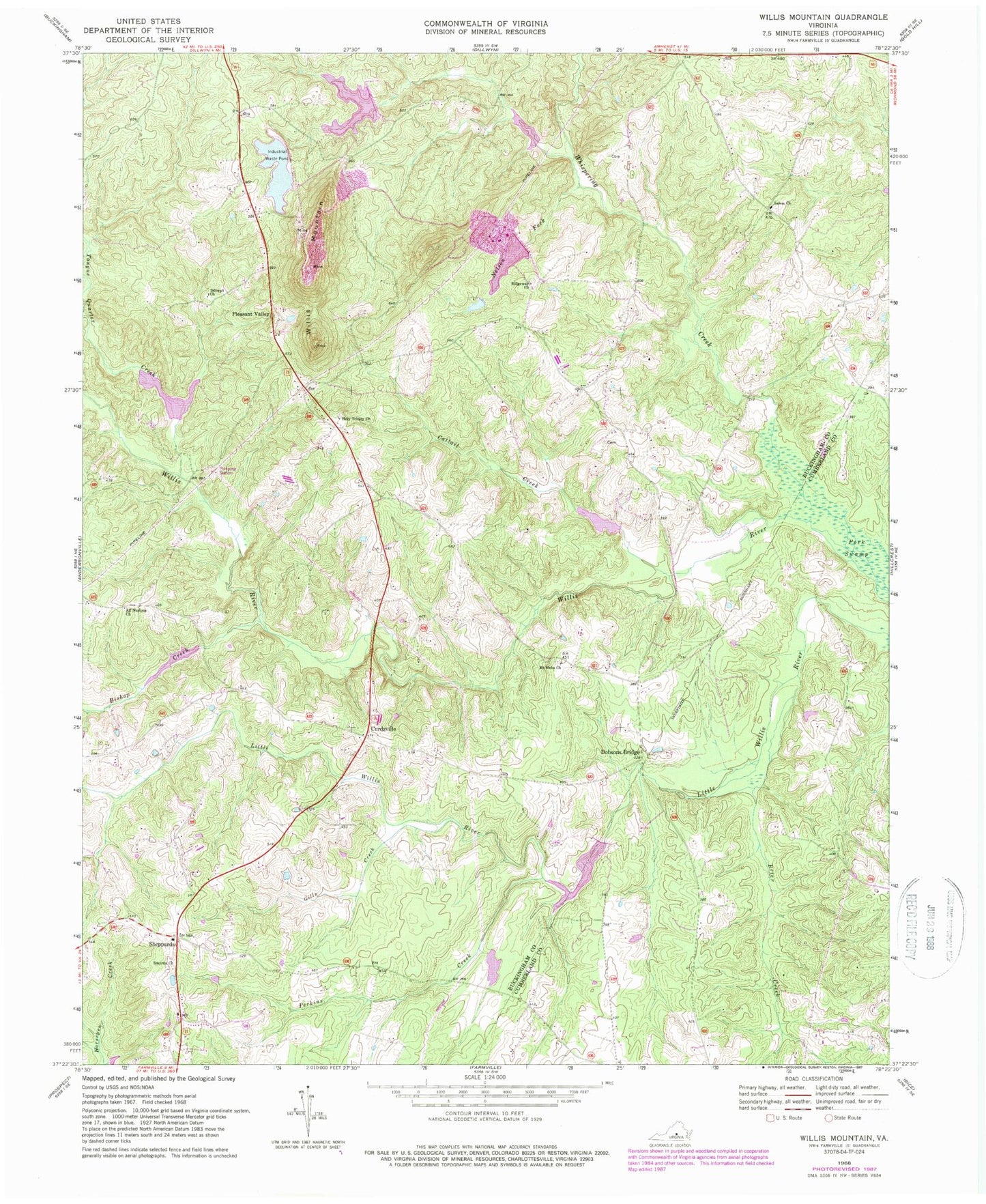
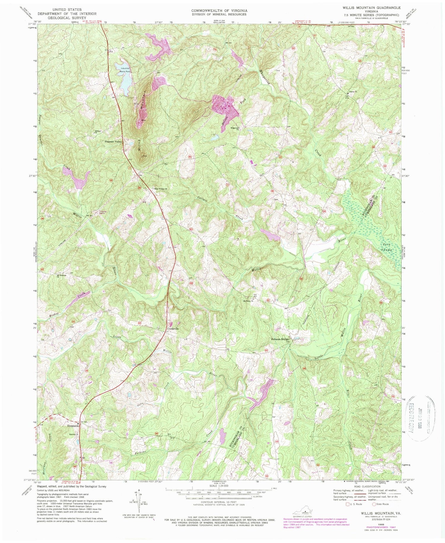
Classic USGS Willis Mountain Virginia 7.5'x7.5' Topo Map
Couldn't load pickup availability
Historical USGS topographic quad map of Willis Mountain in the state of Virginia. Map scale may vary for some years, but is generally around 1:24,000. Print size is approximately 24" x 27"
This quadrangle is in the following counties: Buckingham, Cumberland.
The map contains contour lines, roads, rivers, towns, and lakes. Printed on high-quality waterproof paper with UV fade-resistant inks, and shipped rolled.
Contains the following named places: All Nations Church, Bishop Creek, Brier Creek, Cattail Creek, Curdsville, Dillwyn Church, District 2 Curdsville, Dobsons Bridge, East Ridge Pond, Fork Swamp, Gannaway School, Gills Creek, Holiness Church, Holy Trinity Church, Hubbard Cemetery, Kyanite Dam Number Three, Kyanite East Ridge Dam, Kyanite Mine Waste Dam Number One, Monroe Melvin and Johns Dam, Mount Nebo Cemetery, Mount Nebo Church, Nelson Fork, Oak Grove School, Perkins Creek, Pleasant Valley, Ridgeway Church, Salem Cemetery, Salem Church, Salem School, Saratoga School, Sheppards, Smyrna Cemetery, Smyrna Church, The Discovery School of Virginia, Tongue Quarter Creek, Whispering Creek, Willis Mountain, Willis River Number 5f Dam, Willis River Number Four Dam, Willis River Number Six Dam, Willis River Number Three Dam, Willis River Number Two Dam


