MyTopo
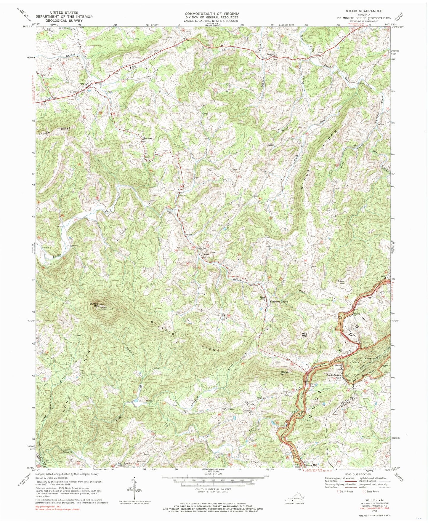
Classic USGS Willis Virginia 7.5'x7.5' Topo Map
Couldn't load pickup availability
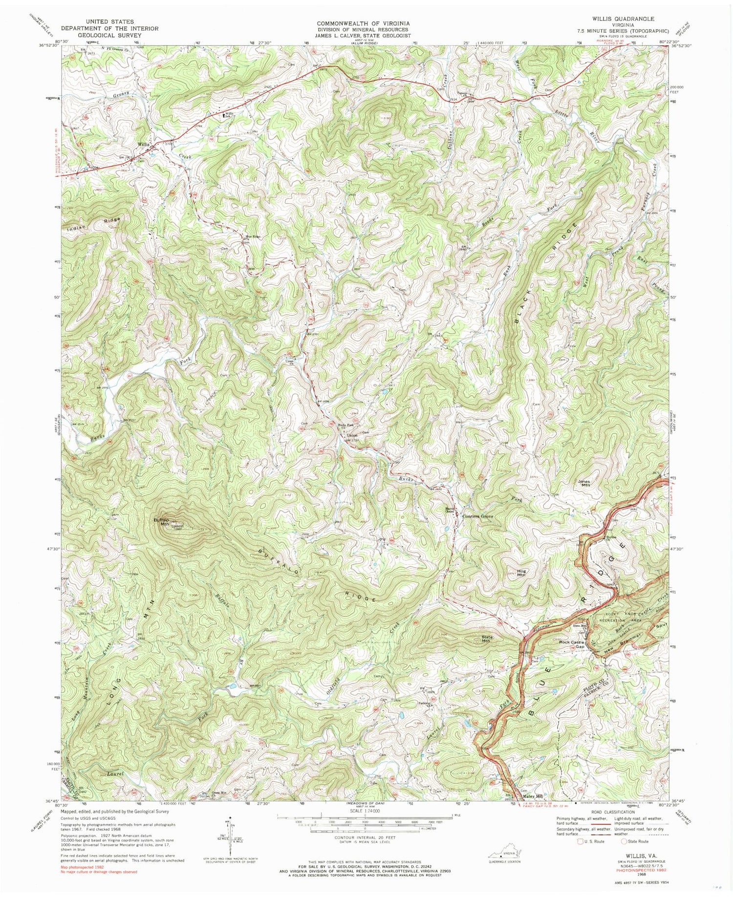
Historical USGS topographic quad map of Willis in the state of Virginia. Typical map scale is 1:24,000, but may vary for certain years, if available. Print size: 24" x 27"
This quadrangle is in the following counties: Carroll, Floyd, Patrick.
The map contains contour lines, roads, rivers, towns, and lakes. Printed on high-quality waterproof paper with UV fade-resistant inks, and shipped rolled.
Contains the following named places: Black Ridge, Blue Ridge Church, Buffalo Branch, Buffalo Mountain, Buffalo Ridge, Burks Fork Church, East Prong Furnace Creek, Furnace Creek, Green Mountain Church, Harris Chapel, Hog Mountain, Indian Ridge, Long Mountain Creek, Oldfield Creek, Parkway Church, Rock Castle Gap, Rush Fork, Skyline Church, Slate Mountain Church, Topeco Church, Union Church, West Prong Furnace Creek, Willis Elementary School, Union, Reeds Creek, Mabry Mill Pond Dam, Mabry Mill Pond, Conners Grove Baptist Church, Saint Mark Lutheran Church, Shelor Cemetery, Willis United Methodist Church, Conners Grove, Jones Mountain, Long Mountain, Mabry Mill, Slate Mountain, Willis, Burks Fork District, Floyd County Volunteer Fire Department 2, Willis Post Office


