
MyTopo
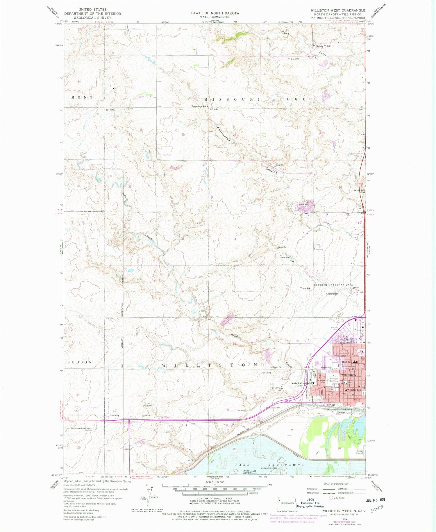
Classic USGS Williston West North Dakota 7.5'x7.5' Topo Map
Couldn't load pickup availability
Historical USGS topographic quad map of Williston West in the state of North Dakota. Map scale may vary for some years, but is generally around 1:24,000. Print size is approximately 24" x 27"
This quadrangle is in the following counties: Williams.
The map contains contour lines, roads, rivers, towns, and lakes. Printed on high-quality waterproof paper with UV fade-resistant inks, and shipped rolled.
Contains the following named places: Badlands Postal Store Post Office, Bethel Lutheran Nursing and Rehabilitation Center, CHI St Alexius Health Williston Medical Center, City of Williston, Del Easton Alternative High School, E J Hagen Aquatic Center, Hagan Elementary School, Lewis and Clark Elementary School, Ring Rock Ranch Airport, Riverview Cemetery, Saint Joseph Cemetery, Saint Josephs Elementary School, Sand Creek, Sloulin Field International Airport, Tandy Y School, Tone School, Township of Missouri Ridge, Township of Williston, Trinity Christian School, Webster School, Wilkinson Elementary School, Williston Community Library, Williston Fire Station, Williston High School, Williston Middle School


