MyTopo
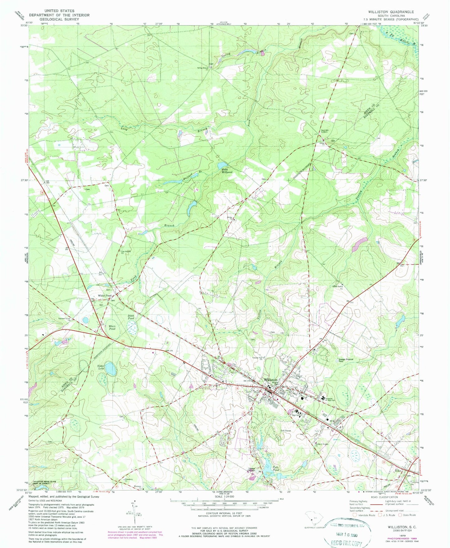
Classic USGS Williston South Carolina 7.5'x7.5' Topo Map
Couldn't load pickup availability
Historical USGS topographic quad map of Williston in the state of South Carolina. Map scale may vary for some years, but is generally around 1:24,000. Print size is approximately 24" x 27"
This quadrangle is in the following counties: Aiken, Barnwell.
The map contains contour lines, roads, rivers, towns, and lakes. Printed on high-quality waterproof paper with UV fade-resistant inks, and shipped rolled.
Contains the following named places: Blessed Home School, Bonnett Mill, Bonnetts Mill Pond, Buzzard Branch, Canaan Fair Church, Church of God, Ditch Pond, Ebenezer Baptist Church, Edisto Church, Edisto School, Edwards Junior High School, Elko, Elko Baptist Church, Elko Fire Department Station No. 3, Fair Branch Church, First Baptist Church, Folk Pond, Folks Lower Pond D-3053 Dam, Folks Upper Pond Dam D-3052, Hallmans Pond, Johnsons Lake, Johnsons Lake Dam D-2039, Jordan Baptist Church, Jowers Pond Dam D-3048, Long Branch, Nobel Street Baptist Church, Peters School, Rosemary Baptist Church, Rosemary School, Sand Hill Gardens, Silver Spring Church, Silver Spring School, Sister Lake, South Carolina Noname 02042 D-2037 Dam, Spring Branch, Spring Branch Baptist Church, Spring Branch School, Summer Grove Church, Tinkers Creek School, Town of Elko, Town of Williston, WAAW-FM (Williston), Webb Mill, Webb Millpond, Webbs Pond Dam D-2038, White Pond, White Pond Church, Whitehead Pond, Whitehead Pond Dam D-2036, Williston, Williston Division, Williston Fire Department, Williston Police Department, Williston Presbyterian Church, Williston Rescue Squad, Williston-Elko High School, Williston-Elko Middle School, Windsor School, Winfield Heights Baptist Church, ZIP Code: 29853


