MyTopo
Classic USGS Willow Creek Reservoir SE Nevada 7.5'x7.5' Topo Map
Regular price
$16.95
Regular price
Sale price
$16.95
Unit price
per
Couldn't load pickup availability
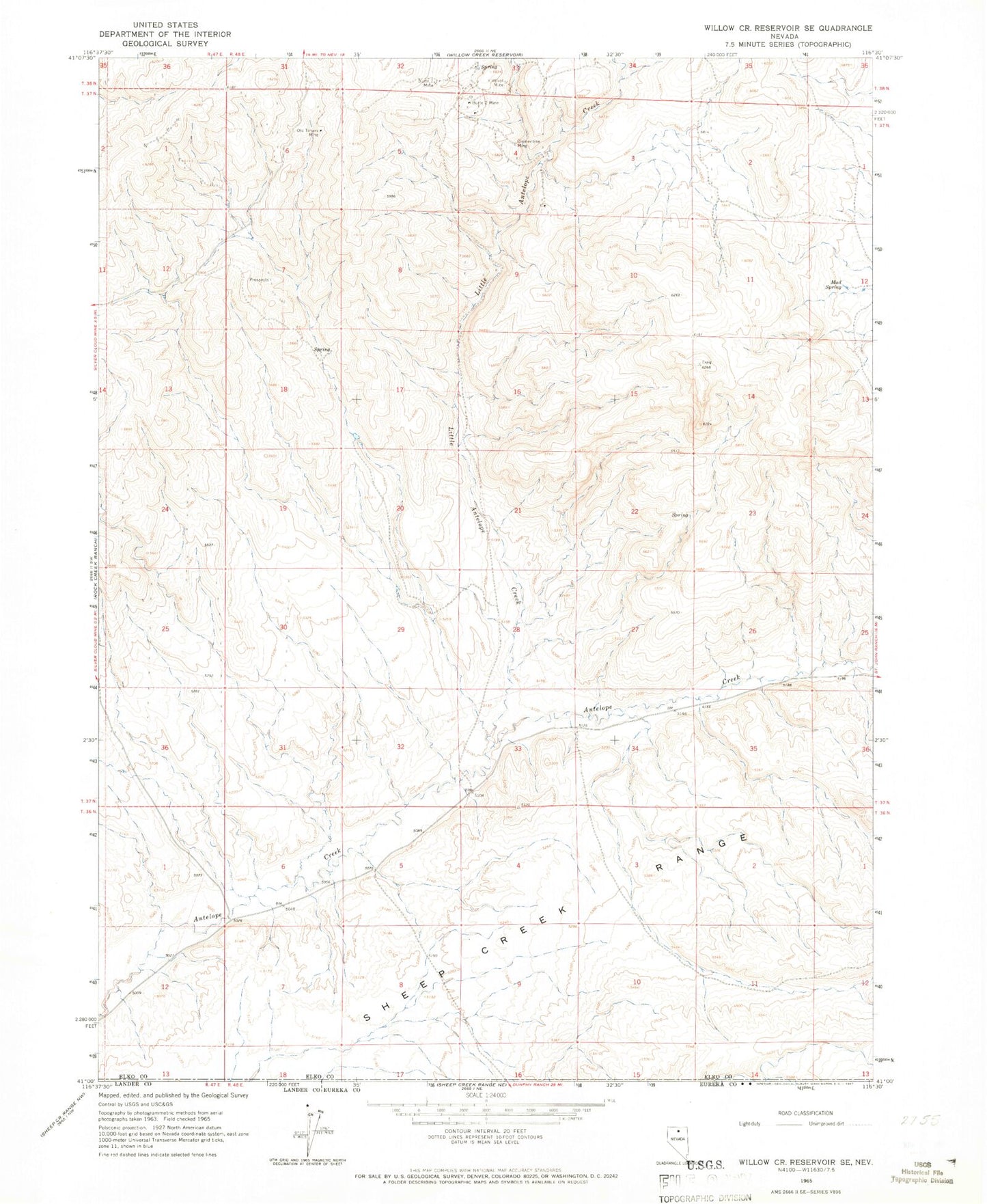
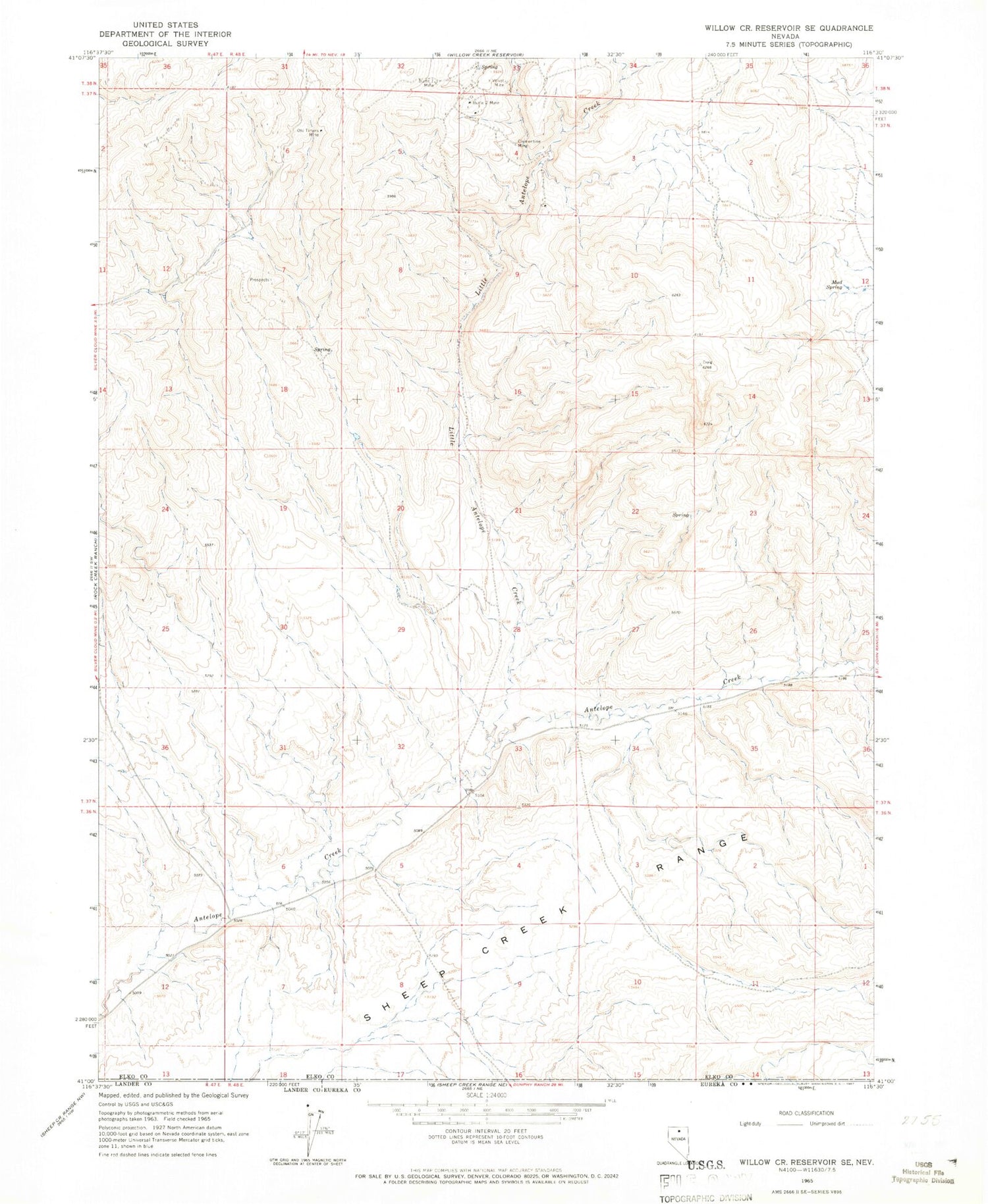
Historical USGS topographic quad map of Willow Creek Reservoir SE in the state of Nevada. Map scale may vary for some years, but is generally around 1:24,000. Print size is approximately 24" x 27"
This quadrangle is in the following counties: Elko, Eureka, Lander.
The map contains contour lines, roads, rivers, towns, and lakes. Printed on high-quality waterproof paper with UV fade-resistant inks, and shipped rolled.
Contains the following named places: Antelope Draw, Butte One Mine, Butte Two Mine, Clementine Mine, Ivanhoe Mining District, Mud Spring, North Antelope Creek, Old Timers Mine, Velvet Mine