MyTopo
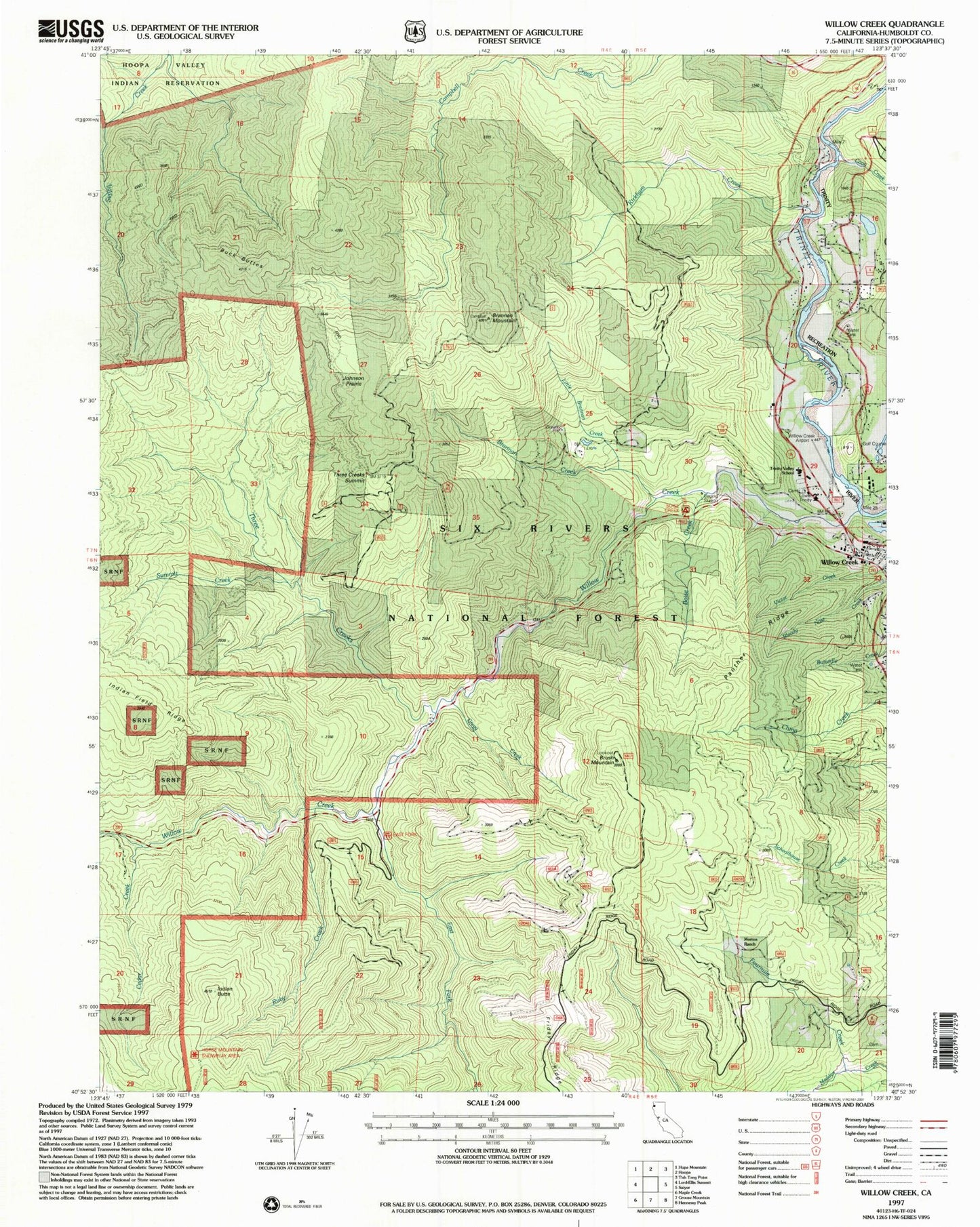
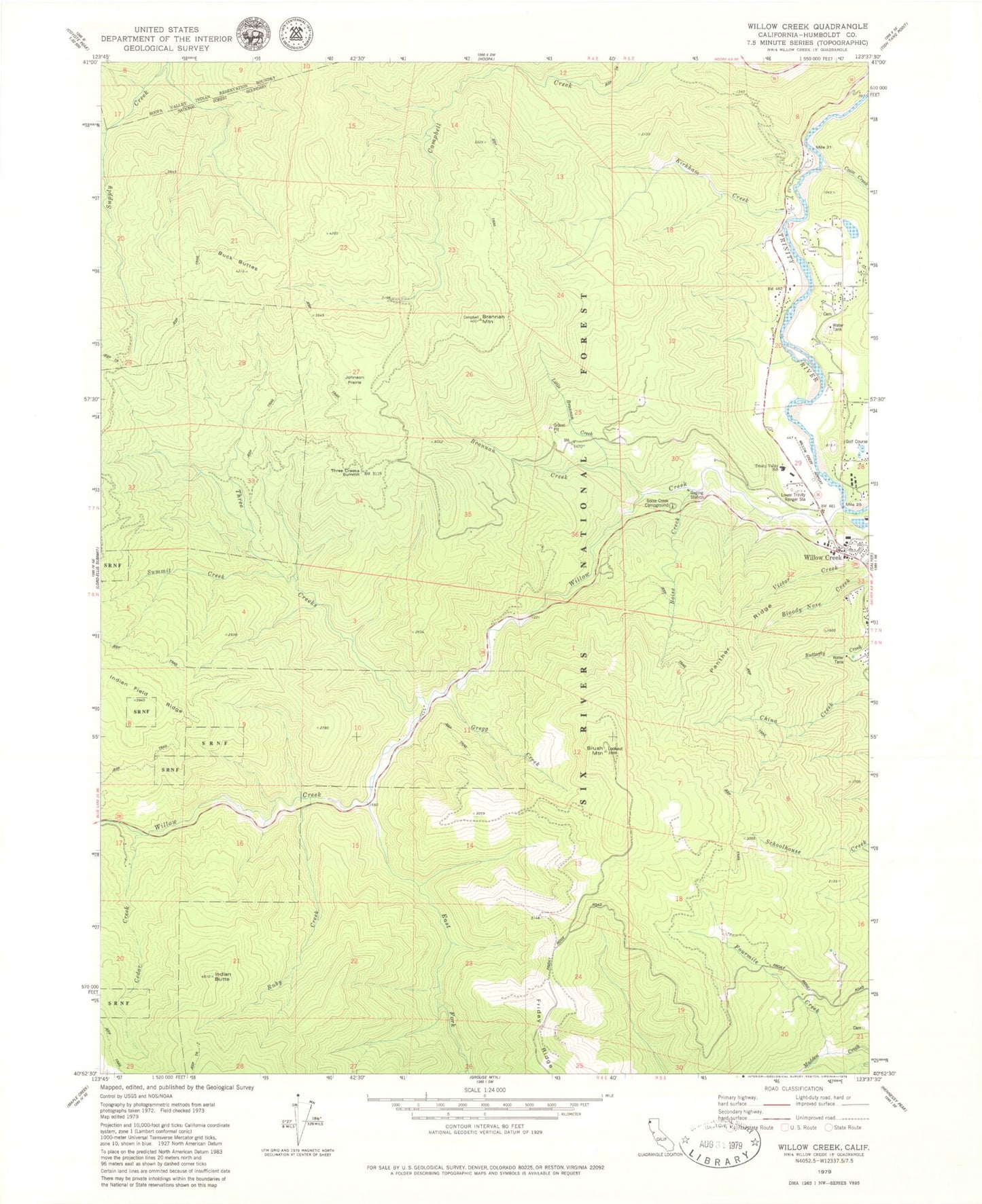
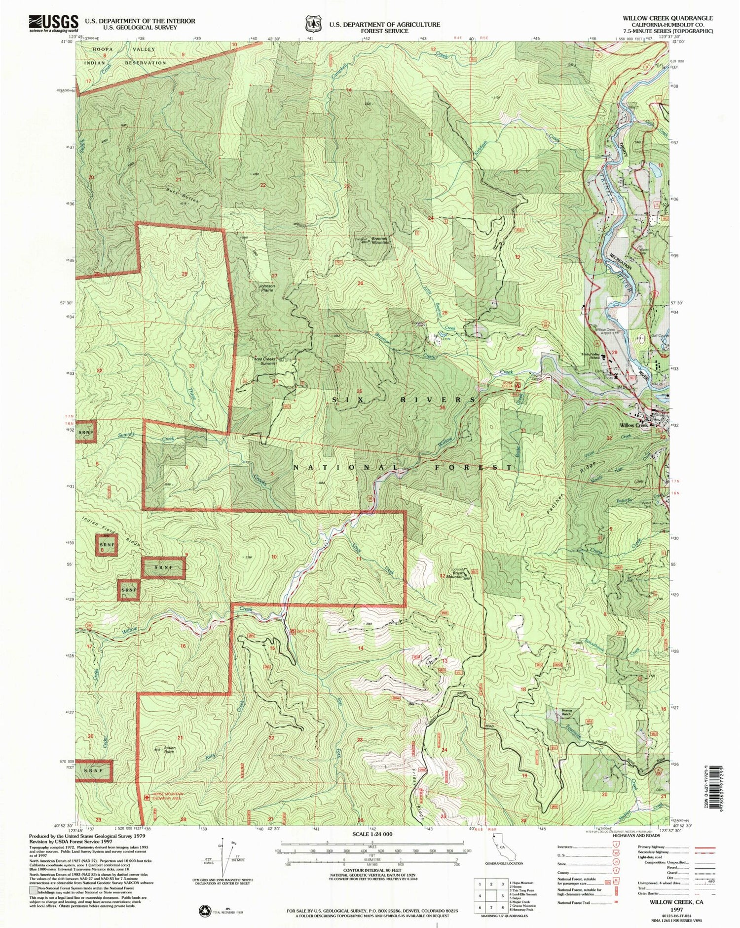
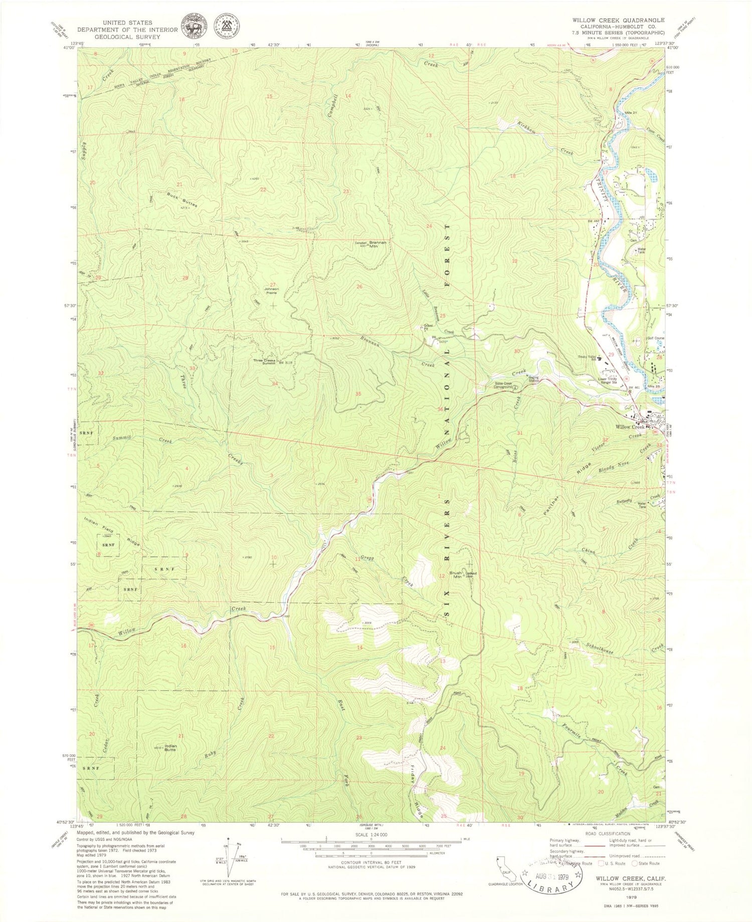
Classic USGS Willow Creek California 7.5'x7.5' Topo Map
Couldn't load pickup availability
Historical USGS topographic quad map of Willow Creek in the state of California. Map scale may vary for some years, but is generally around 1:24,000. Print size is approximately 24" x 27"
This quadrangle is in the following counties: Humboldt.
The map contains contour lines, roads, rivers, towns, and lakes. Printed on high-quality waterproof paper with UV fade-resistant inks, and shipped rolled.
Contains the following named places: Bigfoot Golf and Country Club, Boise Creek, Boise Creek Campground, Brannan Creek, Brannan Mountain, Brush Mountain, Brush Mountain Lookout, Buck Buttes, Cedar Creek, Coon Creek, East Fork Campground, East Fork Willow Creek, Fourmile Creek, Gregg Creek, Indian Butte, Johnson Prairie, Kirkham Creek, Klamath-Trinity Branch Humboldt County Library, Little Brannan Creek, Lower Trinity Ranger Station, Madden Creek Cemetery, Morton Ranch, Panther Ridge, Ruby Creek, Summit Creek, Three Creeks, Three Creeks Summit, Willow Creek, Willow Creek Airport, Willow Creek Cemetery, Willow Creek Census Designated Place, Willow Creek Post Office, Willow Creek Volunteer Fire Department, ZIP Code: 95573


