MyTopo
Classic USGS Willow Park Reservoir Wyoming 7.5'x7.5' Topo Map
Couldn't load pickup availability
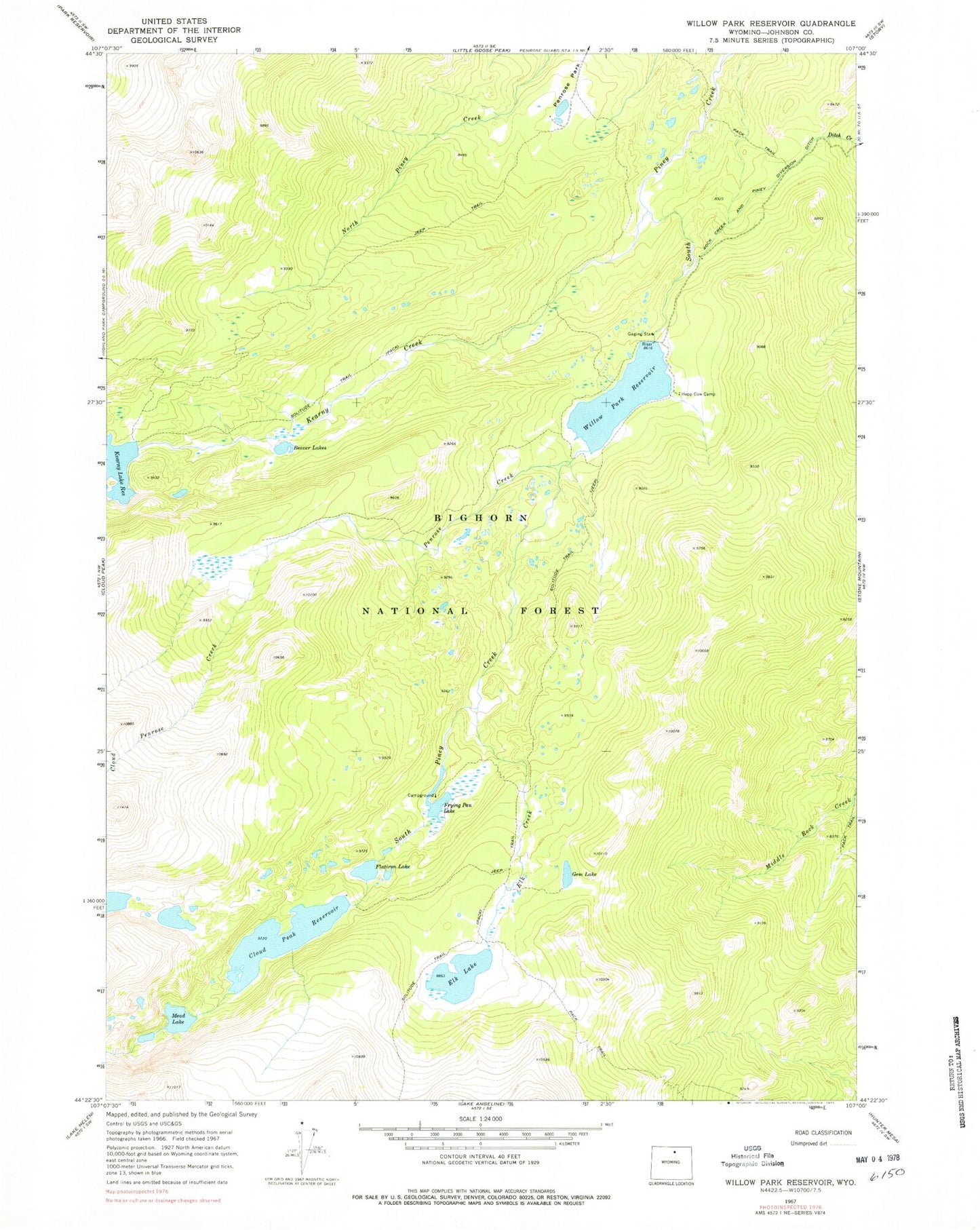
Historical USGS topographic quad map of Willow Park Reservoir in the state of Wyoming. Typical map scale is 1:24,000, but may vary for certain years, if available. Print size: 24" x 27"
This quadrangle is in the following counties: Johnson.
The map contains contour lines, roads, rivers, towns, and lakes. Printed on high-quality waterproof paper with UV fade-resistant inks, and shipped rolled.
Contains the following named places: Kearny Creek, Beaver Lakes, Cloud Peak Reservoir, Elk Creek, Elk Lake, Flatiron Lake, Frying Pan Lake, Gem Lake, Hepp Cow Camp, Lake Mead, Penrose Creek, Rock Creek and Piney Diversion Ditch, Solitude Trail, Willow Park Reservoir, Kearny Creek, Kearney Lake Dam, Cloud Peak Dam, Willow Park Dam, Willow Park Reservoir