MyTopo
Classic USGS Willow Springs Montana 7.5'x7.5' Topo Map
Regular price
$16.95
Regular price
Sale price
$16.95
Unit price
per
Couldn't load pickup availability
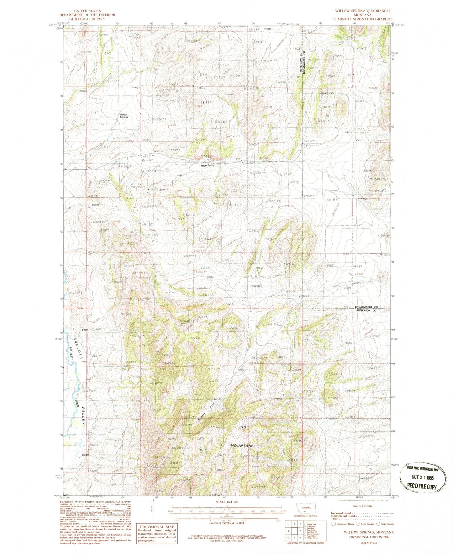
Historical USGS topographic quad map of Willow Springs in the state of Montana. Map scale may vary for some years, but is generally around 1:24,000. Print size is approximately 24" x 27"
This quadrangle is in the following counties: Broadwater, Jefferson.
The map contains contour lines, roads, rivers, towns, and lakes. Printed on high-quality waterproof paper with UV fade-resistant inks, and shipped rolled.
Contains the following named places: 03N02W08DCDC01 Well, Big Mountain, Cooney Park, Dry Cottonwood Creek, Ida Mine, Meyer Spring, NE NW Section 15 Mine, Willow Springs