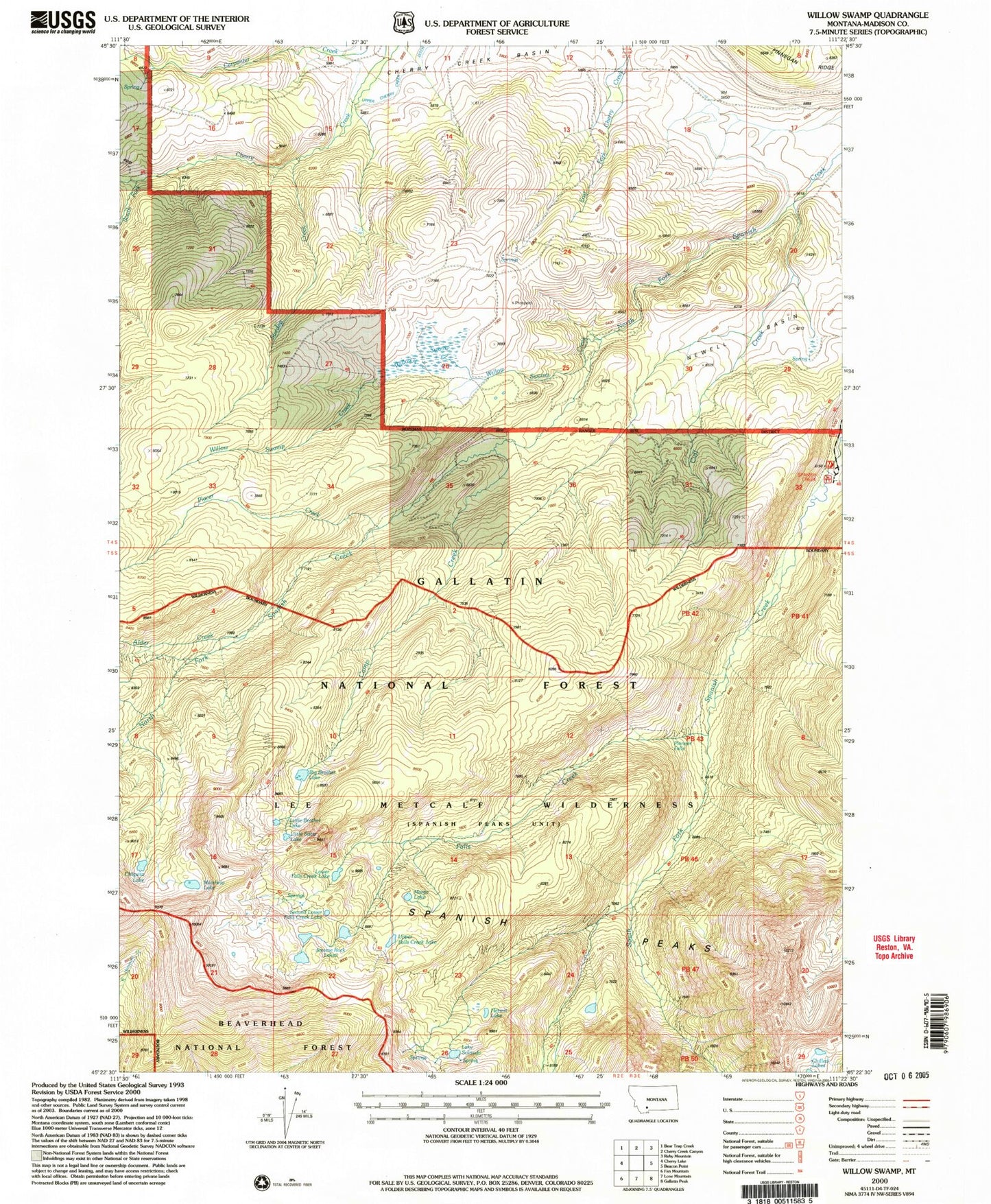
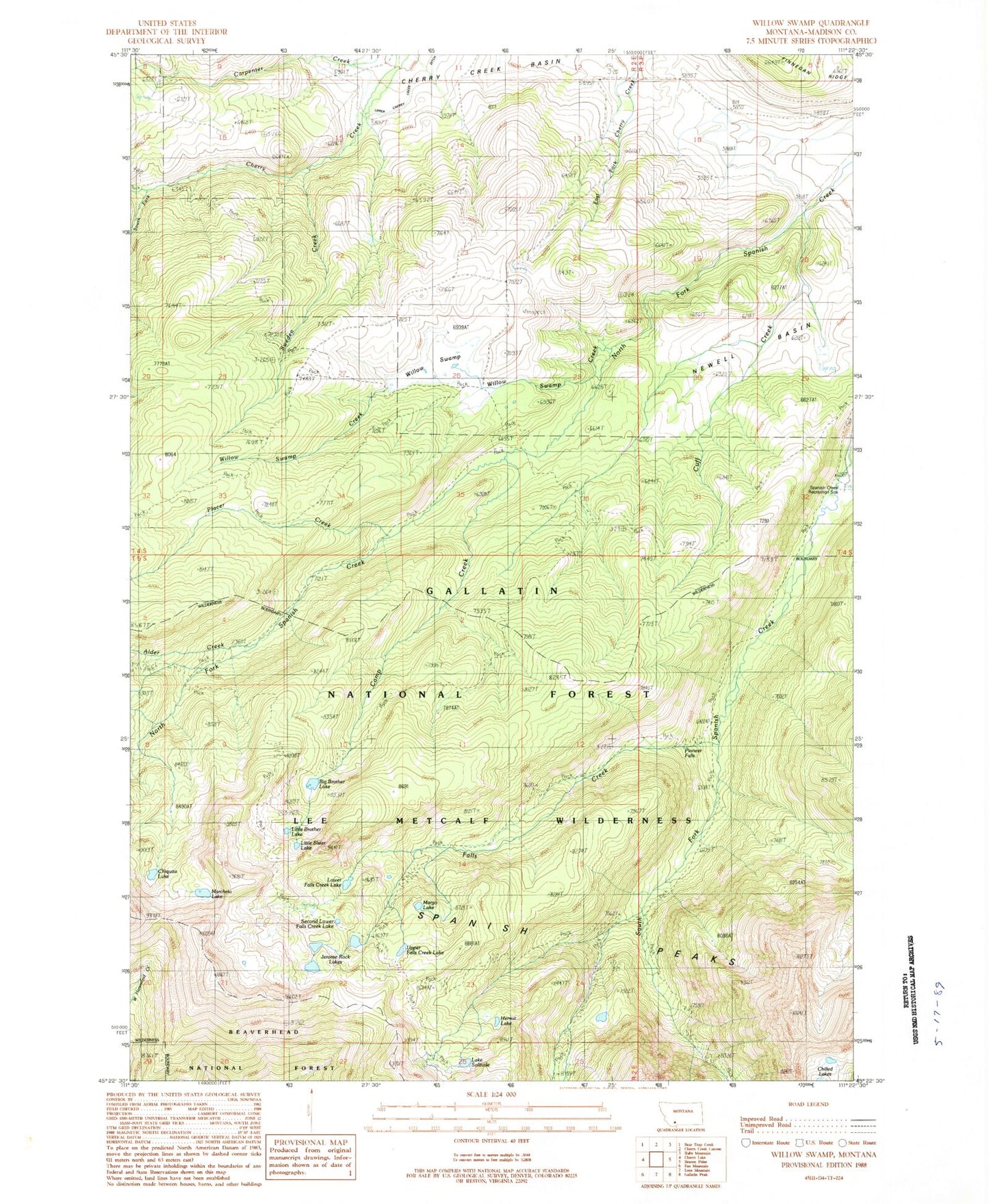
MyTopo
Classic USGS Willow Swamp Montana 7.5'x7.5' Topo Map
Couldn't load pickup availability
Historical USGS topographic quad map of Willow Swamp in the state of Montana. Typical map scale is 1:24,000, but may vary for certain years, if available. Print size: 24" x 27"
This quadrangle is in the following counties: Madison.
The map contains contour lines, roads, rivers, towns, and lakes. Printed on high-quality waterproof paper with UV fade-resistant inks, and shipped rolled.
Contains the following named places: Alder Creek, Big Brother Lake, Camp Creek, Chiquita Lake, Cuff Creek, Falls Creek, Hermit Lake, Jerome Rock Lakes, Little Brother Lake, Little Sister Lake, Lower Falls Creek Lake, Marcheta Lake, Margo Lake, Placer Creek, Second Lower Falls Creek Lake, Lake Solitude, South Fork Cherry Creek, Sweden Creek, Upper Falls Creek Lake, Willow Swamp, Willow Swamp Creek, Pioneer Falls, Spanish Creek Recreation Site, Newell Basin, Placer Creek Mine, Spanish Post Office (historical)