MyTopo
Classic USGS Willow Arkansas 7.5'x7.5' Topo Map
Regular price
$16.95
Regular price
Sale price
$16.95
Unit price
per
Couldn't load pickup availability
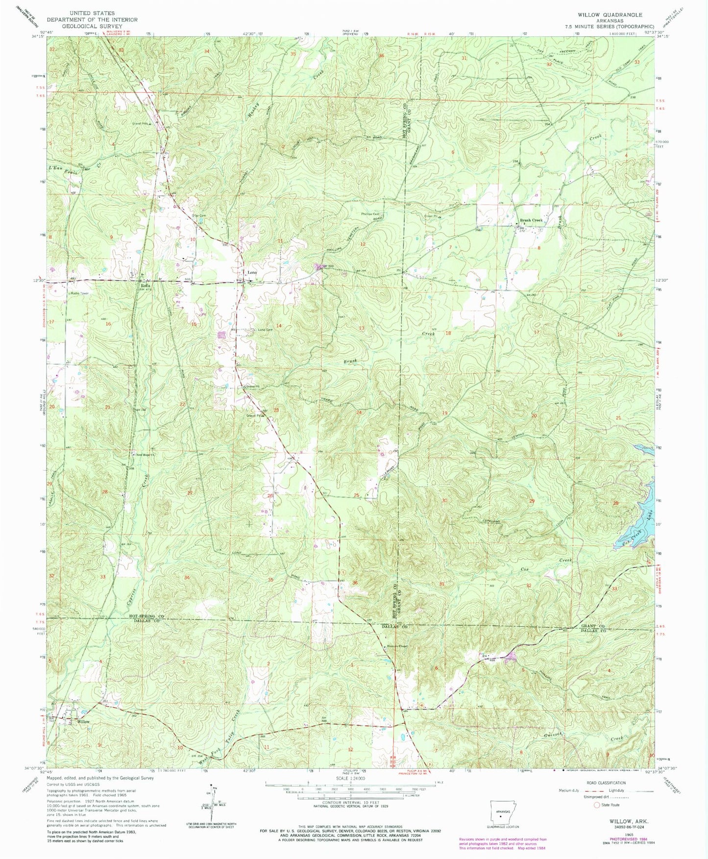
Historical USGS topographic quad map of Willow in the state of Arkansas. Map scale may vary for some years, but is generally around 1:24,000. Print size is approximately 24" x 27"
This quadrangle is in the following counties: Dallas, Grant, Hot Spring.
The map contains contour lines, roads, rivers, towns, and lakes. Printed on high-quality waterproof paper with UV fade-resistant inks, and shipped rolled.
Contains the following named places: Brush Creek, Gillespie Strip, Gray Cemetery, Heard Airport, Hunters Chapel, Lono, Lono - Rolla Volunteer Fire Department Substation 3, Lono Cemetery, Lucian, New Hope Church, Phillips Cemetery, Rolla, Township of Clear Creek, Willow, ZIP Code: 72084