MyTopo
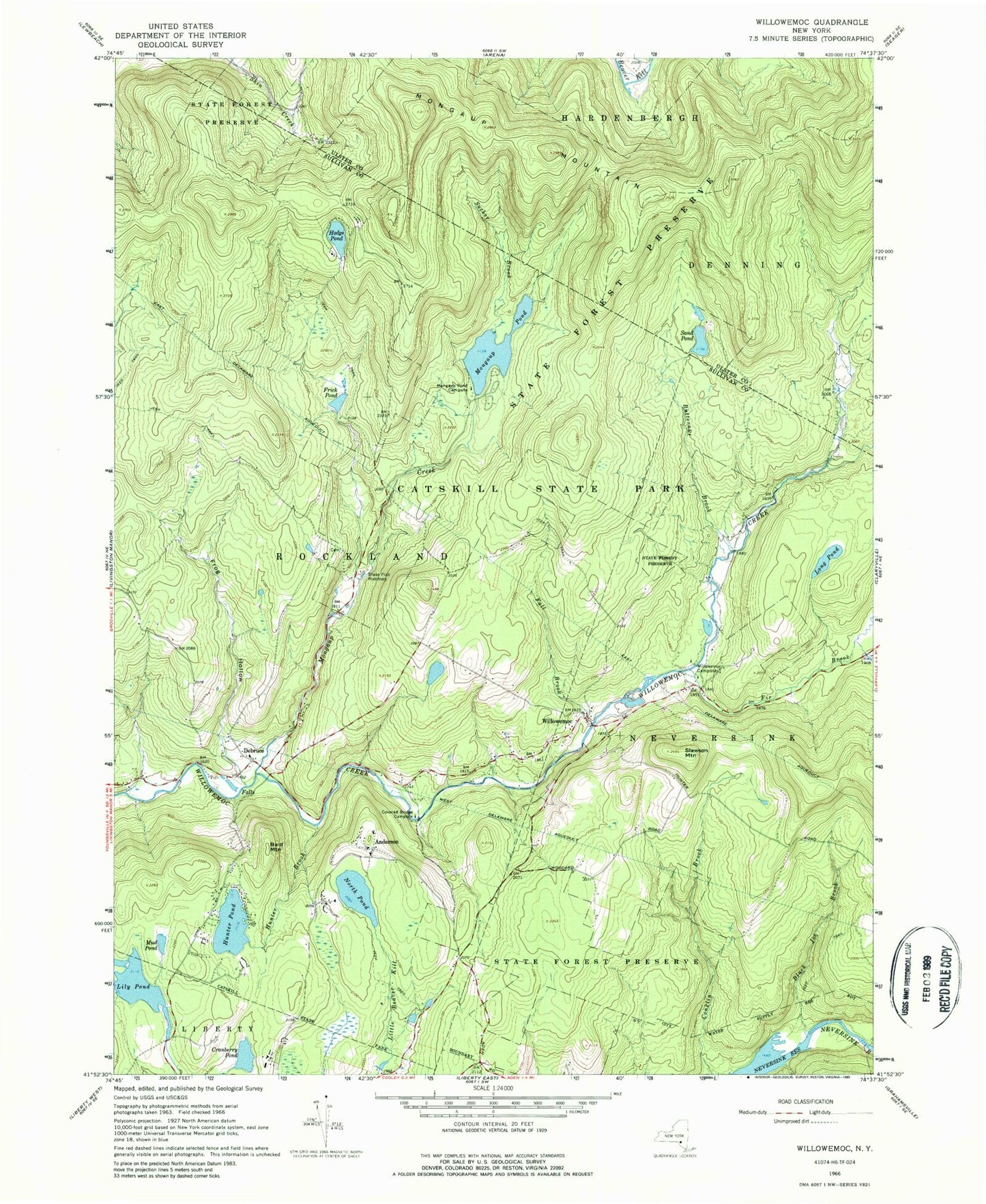
Classic USGS Willowemoc New York 7.5'x7.5' Topo Map
Couldn't load pickup availability
Historical USGS topographic quad map of Willowemoc in the state of New York. Typical map scale is 1:24,000, but may vary for certain years, if available. Print size: 24" x 27"
This quadrangle is in the following counties: Sullivan, Ulster.
The map contains contour lines, roads, rivers, towns, and lakes. Printed on high-quality waterproof paper with UV fade-resistant inks, and shipped rolled.
Contains the following named places: Anderson, Bald Mountain, Black Joe Brook, Butternut Brook, Covered Bridge Campsite, Cranberry Pond, Debruce, Fall Brook, Fir Brook, Frick Pond, Frog Hollow, Hodge Pond, Hunter Brook, Hunter Pond, Lily Pond, Long Pond, Mongaup Creek, Mongaup Mountain, Mongaup Pond, Mongaup Pond Campsite, Mud Pond, North Pond, Sand Pond, Slawson Mountain, Sucker Brook, West Delaware Aqueduct, Willowemoc, Willowemoc Campsite, Hunter Lake Campground


