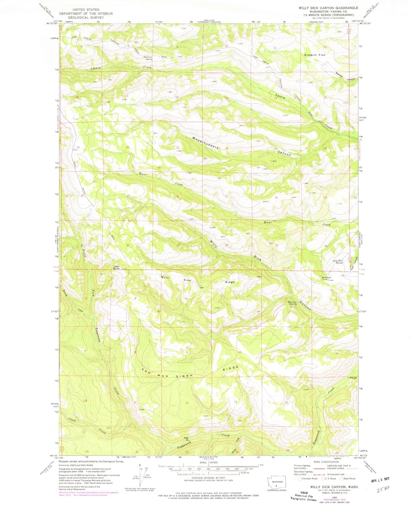
MyTopo
Classic USGS Willy Dick Canyon Washington 7.5'x7.5' Topo Map
Regular price
$16.95
Regular price
Sale price
$16.95
Unit price
per
Couldn't load pickup availability
Historical USGS topographic quad map of Willy Dick Canyon in the state of Washington. Map scale may vary for some years, but is generally around 1:24,000. Print size is approximately 24" x 27"
This quadrangle is in the following counties: Yakima.
The map contains contour lines, roads, rivers, towns, and lakes. Printed on high-quality waterproof paper with UV fade-resistant inks, and shipped rolled.
Contains the following named places: Branch Creek, Camp Creek, Clock Creek, Deer Butte, Fairview Spring, Kah Mah Singh Ridge, Lone Pine Spring, North Fork Toppenish Creek, Olney Creek, Quin Sins Ridge, Stamill Flat, Wild Horse Corral, Willy Dick Crossing, Woodchoppers Canyon