
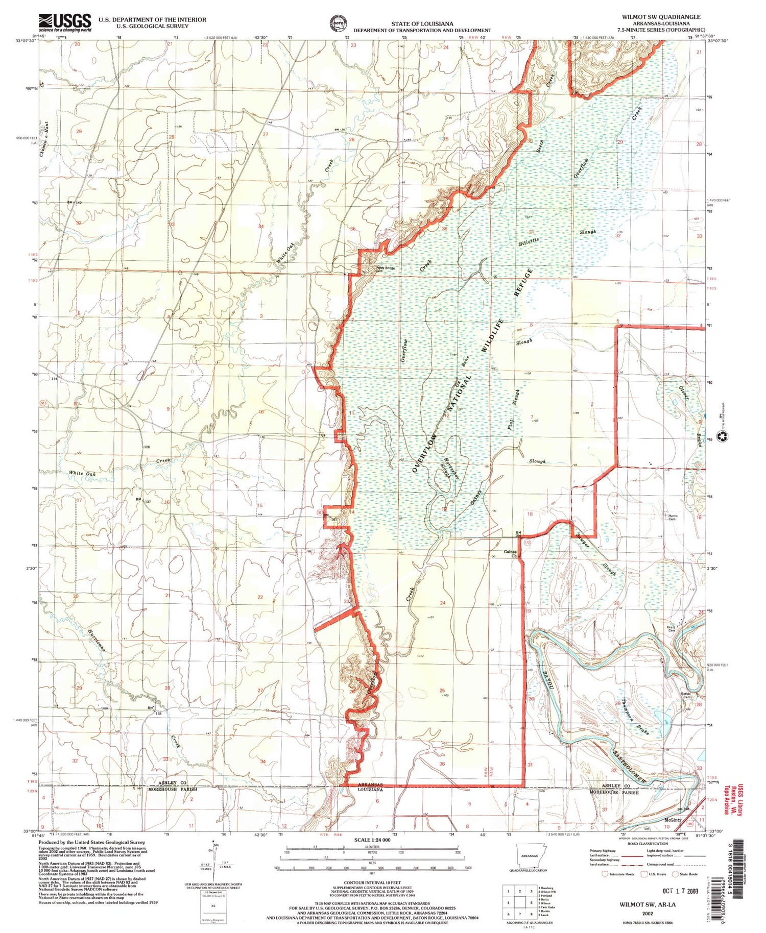
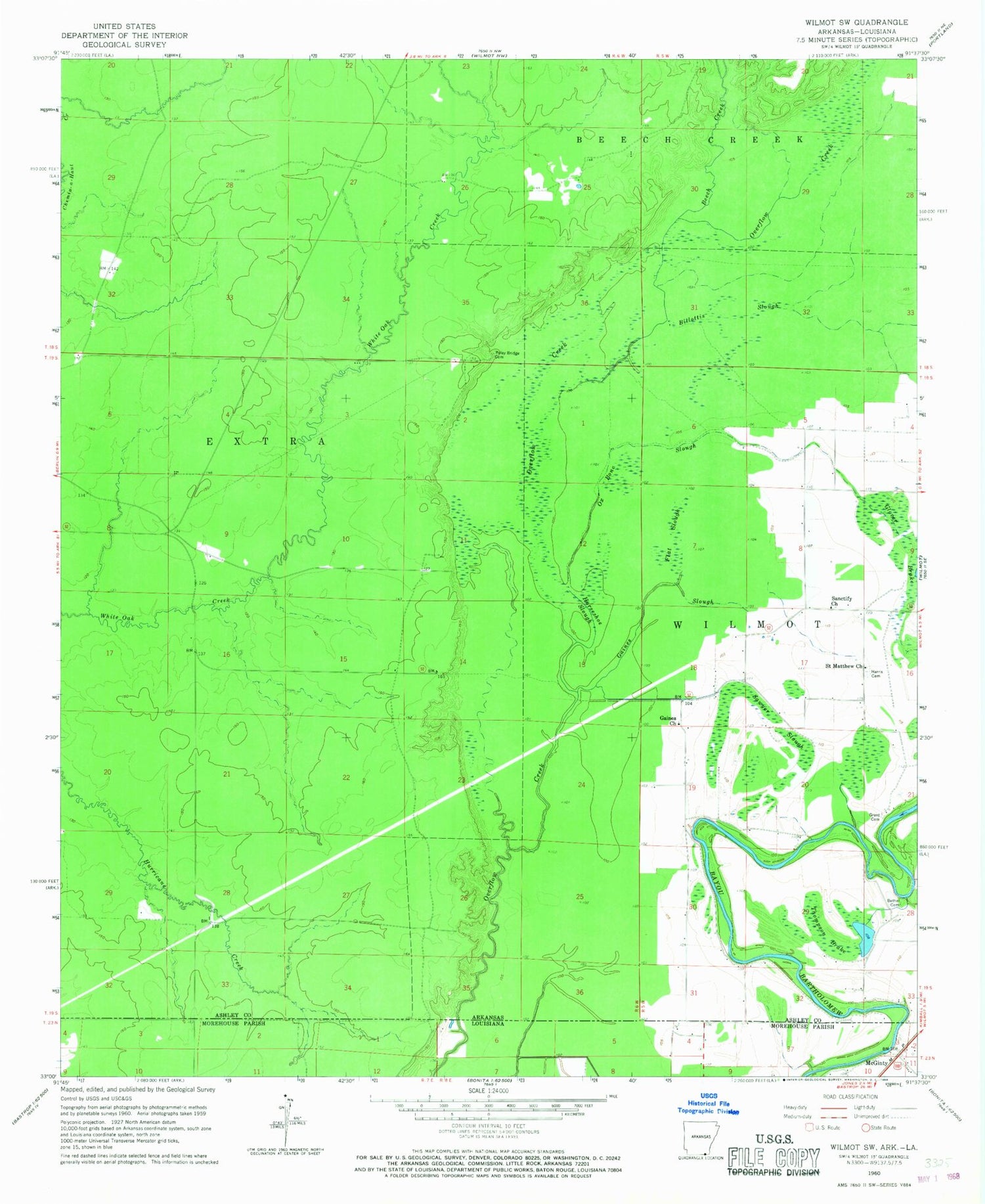
MyTopo
Classic USGS Wilmot SW Arkansas 7.5'x7.5' Topo Map
Couldn't load pickup availability
Historical USGS topographic quad map of Wilmot SW in the states of Arkansas, Louisiana. Map scale may vary for some years, but is generally around 1:24,000. Print size is approximately 24" x 27"
This quadrangle is in the following counties: Ashley, Morehouse.
The map contains contour lines, roads, rivers, towns, and lakes. Printed on high-quality waterproof paper with UV fade-resistant inks, and shipped rolled.
Contains the following named places: Beech Creek, Bethel Cemetery, Bethel Church, Billottis Slough, Flat Slough, Forest Home Saw Mill, Gaines Church, Gaines Slough, Glover Brake, Grant Cemetery, Grant Ferry, Haines Ferry, Harris Cemetery, Hill Slough, Horseshoe Slough, Matoka, McGinty, Overflow National Wildlife Refuge, Overflow Swamp, Ox Bone Slough, Poley Bridge Cemetery, Saint Matthew Church, Sanctify Church, Sawyer Slough, Thompson Brake


