
MyTopo
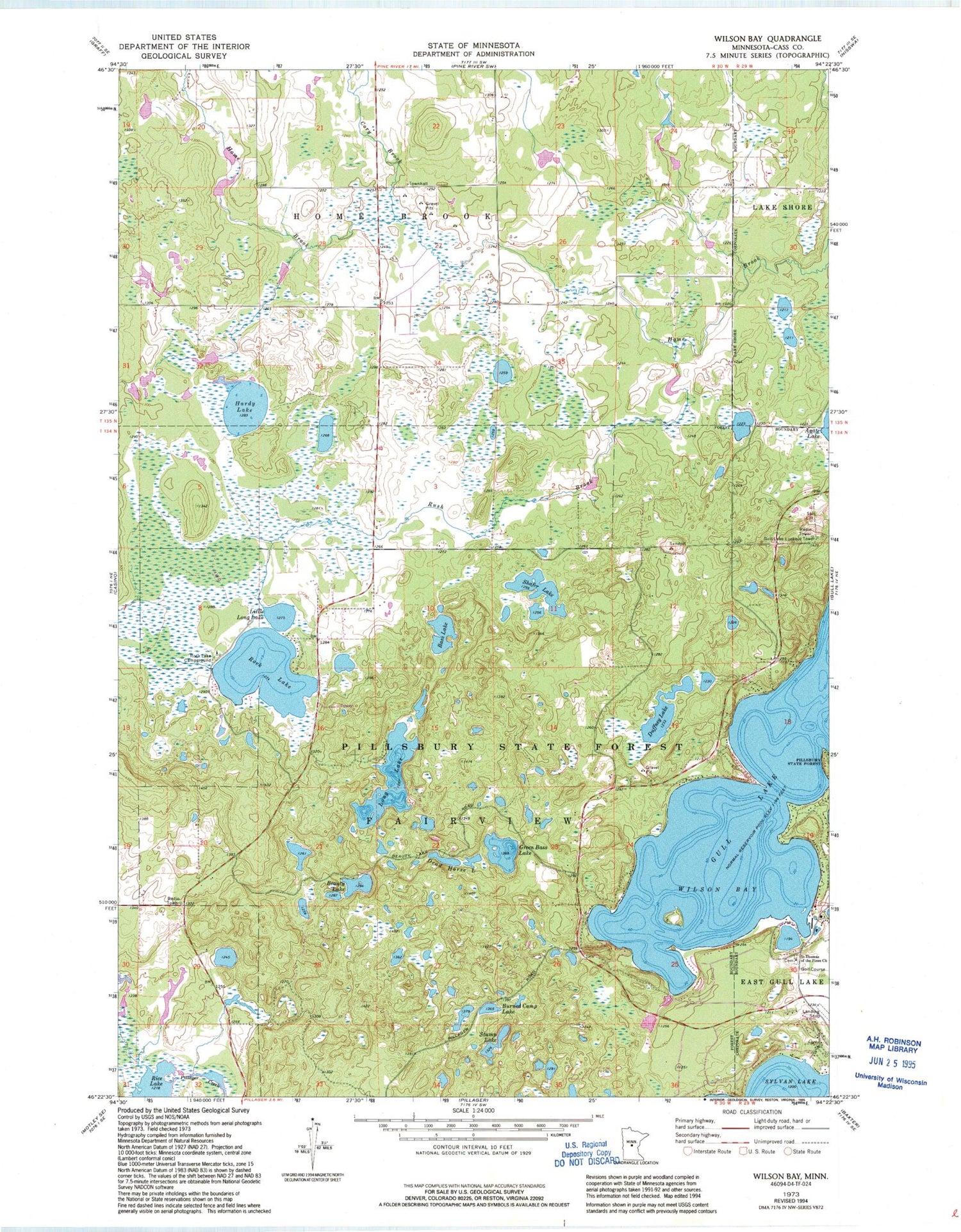
Classic USGS Wilson Bay Minnesota 7.5'x7.5' Topo Map
Couldn't load pickup availability
Historical USGS topographic quad map of Wilson Bay in the state of Minnesota. Typical map scale is 1:24,000, but may vary for certain years, if available. Print size: 24" x 27"
This quadrangle is in the following counties: Cass.
The map contains contour lines, roads, rivers, towns, and lakes. Printed on high-quality waterproof paper with UV fade-resistant inks, and shipped rolled.
Contains the following named places: Bass Lake, Beauty Lake, Burned Camp Lake, Cory Brook, Dead Horse Lake, Duffney Lake, Green Bass Lake, Hardy Lake, Little Long Lake, Long Lake, Pillsbury State Forest, Rock Lake, Rock Lake Campground, Rush Brook, Saint Thomas of the Pines Church, Shafer Lake, Stump Lake, Wilson Bay, Gull Lake Lookout Tower, KBPR-FM (Brainerd), WJJY-FM (Brainerd), KAWB-TV (Brainerd), Township of Fairview, Rush Brook Post Office (historical), Madden's Pine Beach West Golf Course, Madden's Pine Beach East Golf Course, Madden's Social Nine Golf Course, Pillager Area Fire and Rescue Station 2


