MyTopo
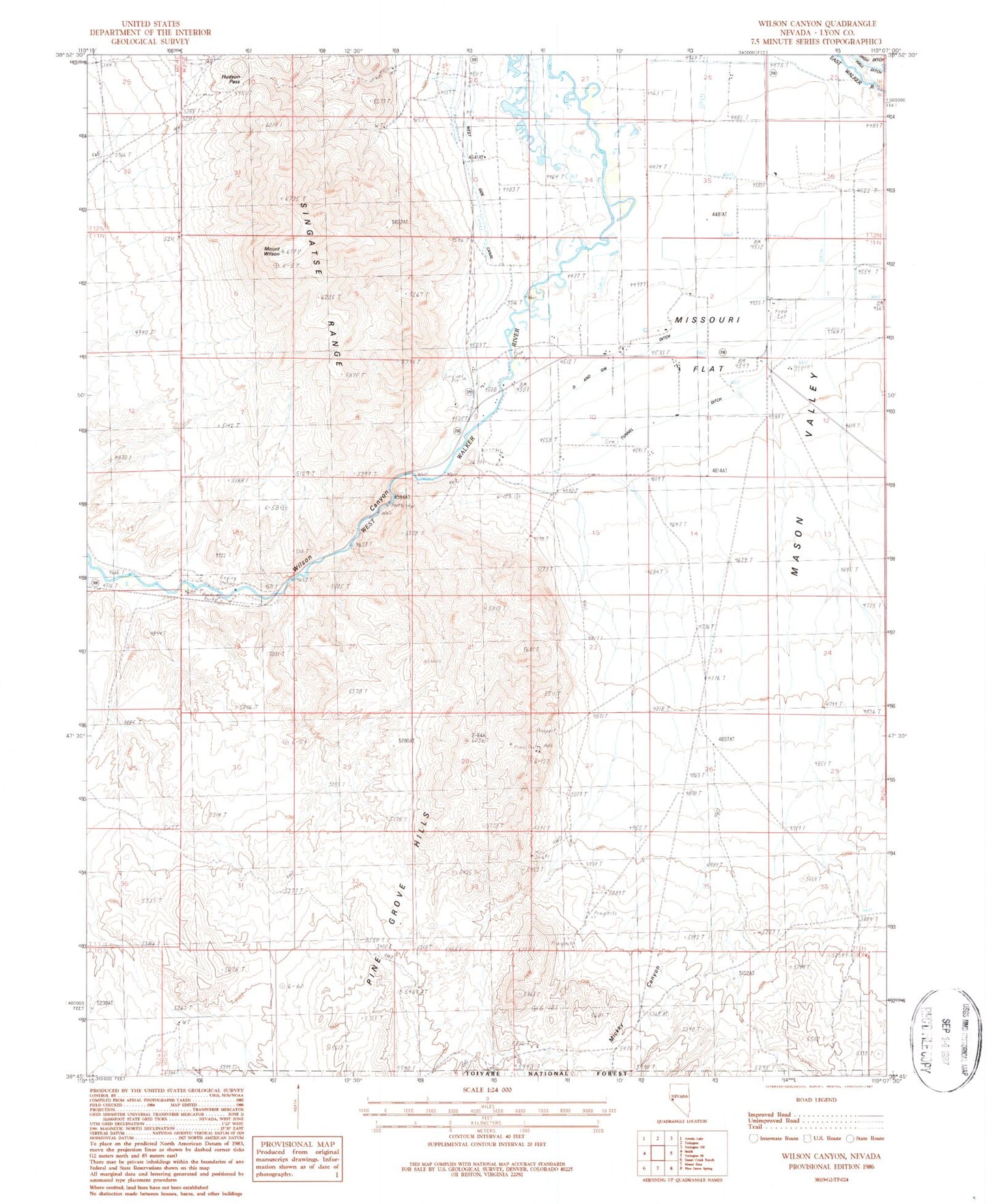
Classic USGS Wilson Canyon Nevada 7.5'x7.5' Topo Map
Couldn't load pickup availability
Historical USGS topographic quad map of Wilson Canyon in the state of Nevada. Map scale may vary for some years, but is generally around 1:24,000. Print size is approximately 24" x 27"
This quadrangle is in the following counties: Lyon.
The map contains contour lines, roads, rivers, towns, and lakes. Printed on high-quality waterproof paper with UV fade-resistant inks, and shipped rolled.
Contains the following named places: D and GW Ditch, Elm Tree Cemetery, Hillbun Ditch, Hudson Pass, Kelly Alkali Ditch, Lee and Sanders Grist Mill, Lee Sanders Ditch, Mickey Canyon, Missouri Flat, Missouri Flat Drift Fence, Missouri Flat Well, Mount Wilson, Sanders Canal, Tippecanoe, Tippecanoe Post Office, Tunnel Ditch, Wellington Springs, West Side Canal, Wilson, Wilson Canyon, Wilson Canyon Picnic Area, Wilson Hot Spring, ZIP Code: 89447