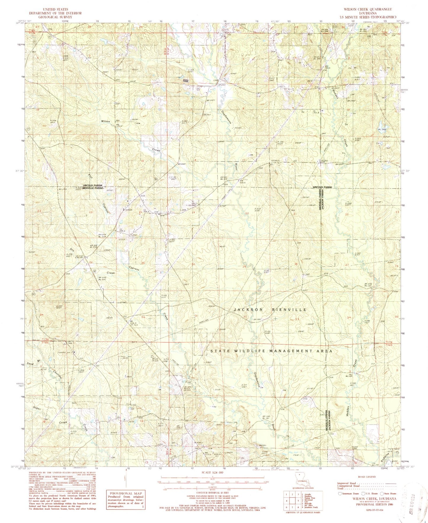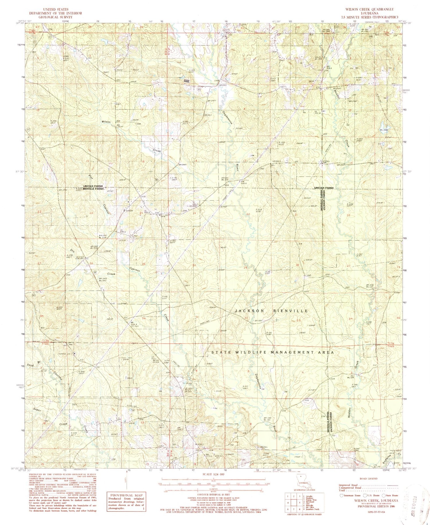
MyTopo
Classic USGS Wilson Creek Louisiana 7.5'x7.5' Topo Map
Couldn't load pickup availability
Historical USGS topographic quad map of Wilson Creek in the state of Louisiana. Map scale may vary for some years, but is generally around 1:24,000. Print size is approximately 24" x 27"
This quadrangle is in the following counties: Bienville, Jackson, Lincoln.
The map contains contour lines, roads, rivers, towns, and lakes. Printed on high-quality waterproof paper with UV fade-resistant inks, and shipped rolled.
Contains the following named places: Cypress Creek, Driscoll Gas Field, Dry Creek, Fellowship School, Flat Cypress Creek, Jackson-Bienville State Wildlife Management Area, Mount Temple Church Methodist Cemetery, Mount Temple Methodist Church, North Bienville Fire Protection District Station 3, Oak Grove, Oak Grove Church, Pruitt Cemetery, Redwine Creek, Sand Branch, Sardis Church, Shady Grove Church, Simsboro Gas Field, Springhill Baptist Church, Sugar Creek, Union Baptist Church, Wilson Creek