MyTopo
Classic USGS Wilson Valley Nebraska 7.5'x7.5' Topo Map
Regular price
$16.95
Regular price
Sale price
$16.95
Unit price
per
Couldn't load pickup availability
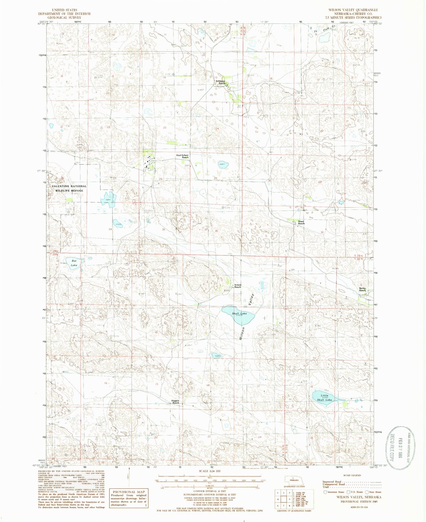
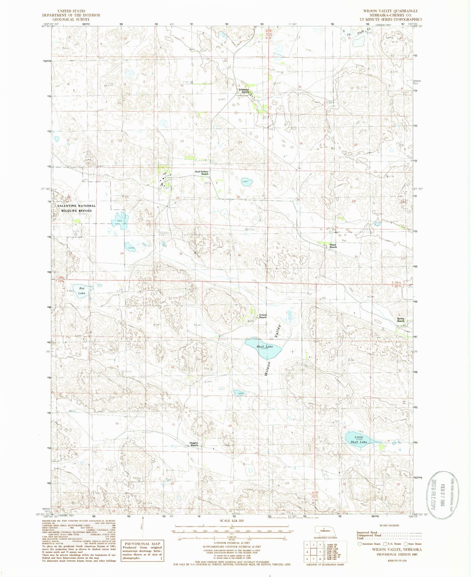
Historical USGS topographic quad map of Wilson Valley in the state of Nebraska. Map scale may vary for some years, but is generally around 1:24,000. Print size is approximately 24" x 27"
This quadrangle is in the following counties: Cherry.
The map contains contour lines, roads, rivers, towns, and lakes. Printed on high-quality waterproof paper with UV fade-resistant inks, and shipped rolled.
Contains the following named places: Broad Ranch, Burley Ranch, Higgins Ranch, Hoef-Scheer Ranch, Little Skull Lake, Rat Lake, Scheer Ranch, Schleuter Ranch, School Number 95, Shaul Ranch, Skull Lake, Wilson Valley