MyTopo
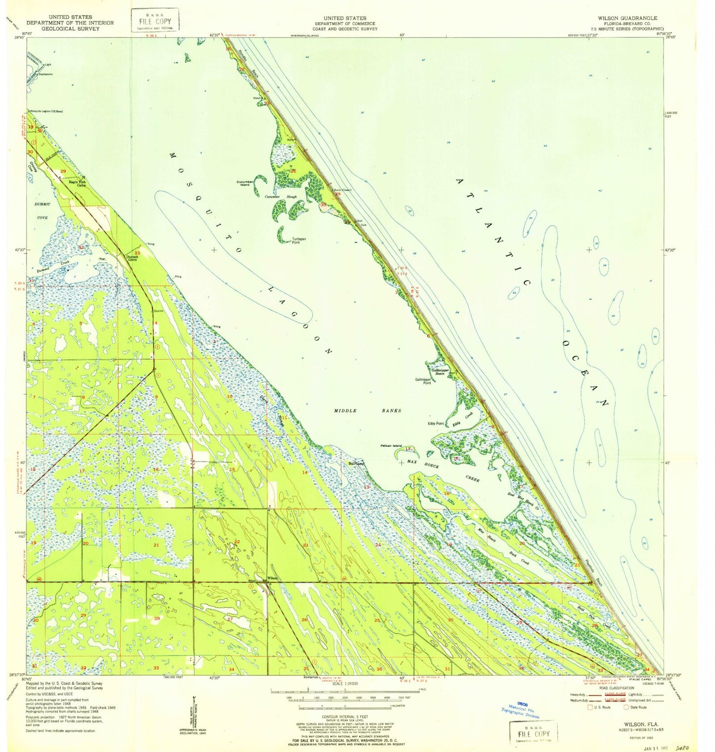
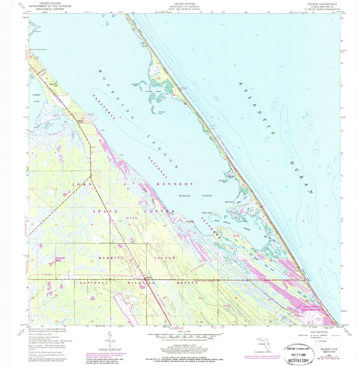
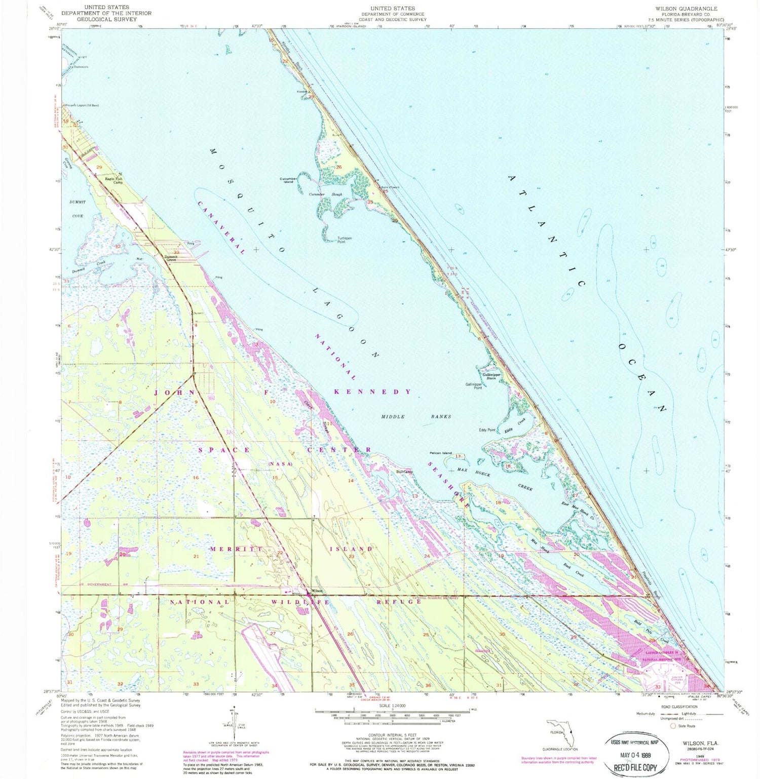
Classic USGS Wilson Florida 7.5'x7.5' Topo Map
Couldn't load pickup availability
Historical USGS topographic quad map of Wilson in the state of Florida. Map scale may vary for some years, but is generally around 1:24,000. Print size is approximately 24" x 27"
This quadrangle is in the following counties: Brevard.
The map contains contour lines, roads, rivers, towns, and lakes. Printed on high-quality waterproof paper with UV fade-resistant inks, and shipped rolled.
Contains the following named places: Bald Pate Creek, Bull Camp, Clark Slough, Cucumber Island, Cucumber Slough, Dummit Cove, Dummit Creek, Dummit Grove, East Max Hoeck Creek, Eddy Creek, Eddy Point, Gallinipper Basin, Gallinipper Point, Granny Cove, John F Kennedy Space Center, Klondike Beach, Max Hoeck Back Creek, Max Hoeck Creek, Middle Banks, Old Canal, Pelican Island, Playalinda Beach, Ragin Fish Camp, Shoppes of West Melbourne, Turtlepen Point, Wilson