MyTopo
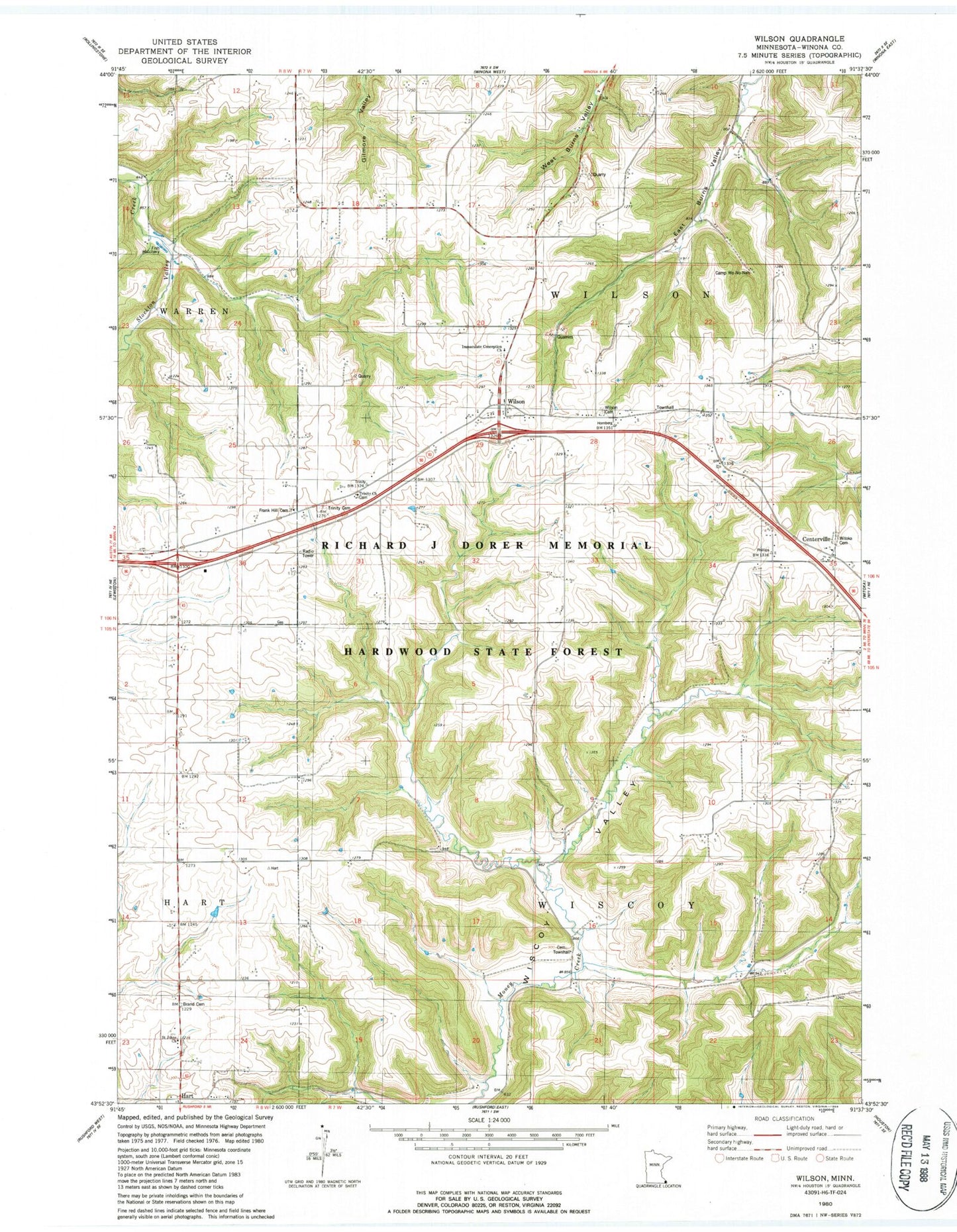
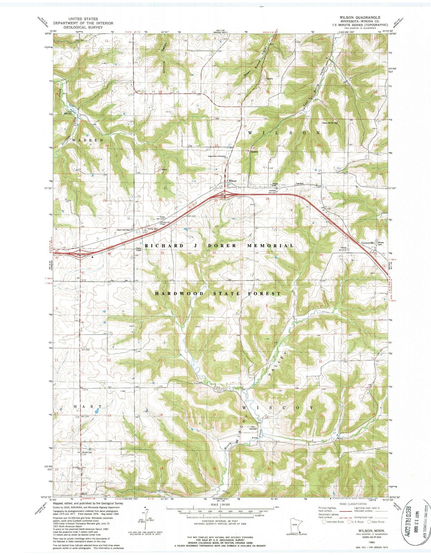
Classic USGS Wilson Minnesota 7.5'x7.5' Topo Map
Couldn't load pickup availability
Historical USGS topographic quad map of Wilson in the state of Minnesota. Map scale may vary for some years, but is generally around 1:24,000. Print size is approximately 24" x 27"
This quadrangle is in the following counties: Winona.
The map contains contour lines, roads, rivers, towns, and lakes. Printed on high-quality waterproof paper with UV fade-resistant inks, and shipped rolled.
Contains the following named places: Brand Cemetery, Camp We-Na-Nah, Centerville, Clement Felix Detention Structure Dam, Frank Hill Cemetery, Hart, Immaculate Conception Cemetery, Immaculate Conception Church, L and D Dairy, Saint Johns Church, Township of Wilson, Township of Wiscoy, Trinity Cemetery, Trinity Church, Wilson, Wilson Cemetery, Wilson Post Office, Wilson Volunteer Fire Department, Witoka Cemetery, ZIP Code: 55987