
MyTopo
Classic USGS Wilton North Dakota 7.5'x7.5' Topo Map
Couldn't load pickup availability
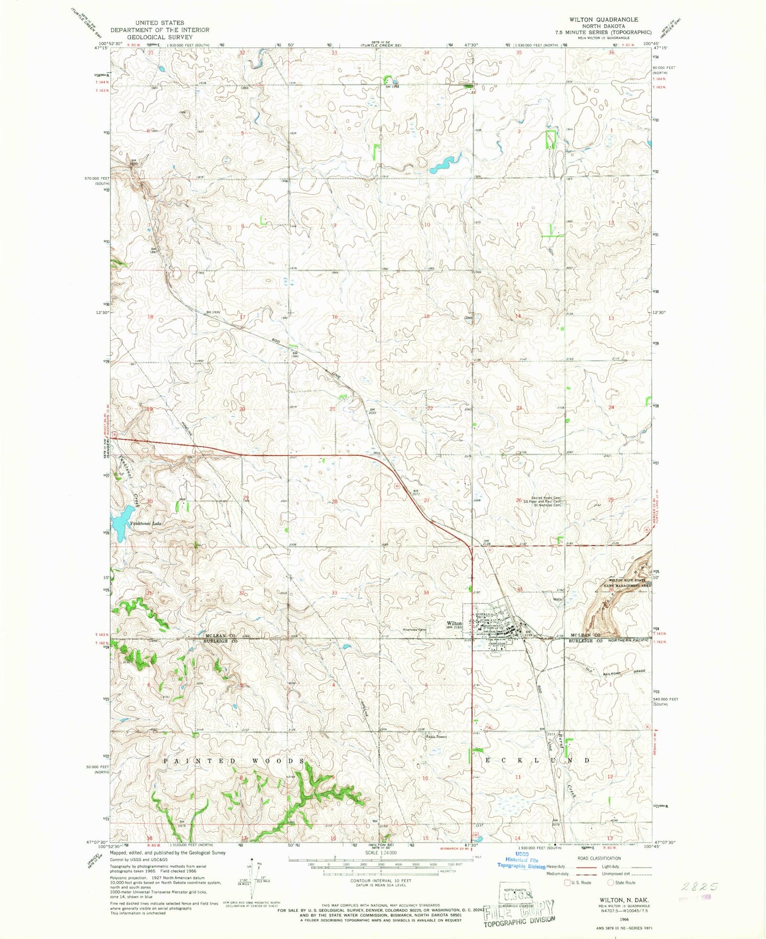
Historical USGS topographic quad map of Wilton in the state of North Dakota. Map scale may vary for some years, but is generally around 1:24,000. Print size is approximately 24" x 27"
This quadrangle is in the following counties: Burleigh, McLean.
The map contains contour lines, roads, rivers, towns, and lakes. Printed on high-quality waterproof paper with UV fade-resistant inks, and shipped rolled.
Contains the following named places: City of Wilton, Holy Trinity Orthodox Cemetery, Riverview Cemetery, Sacred Heart Cemetery, Saints Peter and Paul Cemetery, Wilton, Wilton City Hall, Wilton City Police Department, Wilton Fire Protection District, Wilton Post Office, Wilton Public School, Wilton Rural Ambulance District, Yanktonai Dam, Yanktonai Lake


