MyTopo
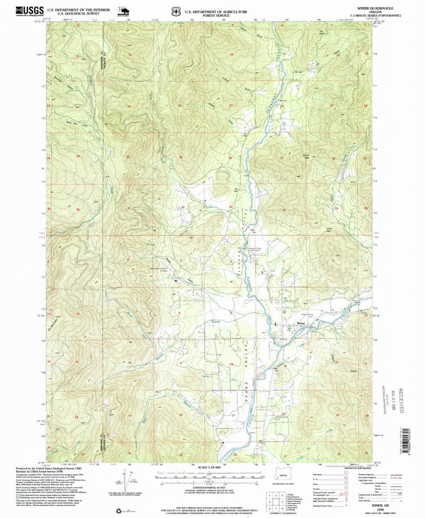
Classic USGS Wimer Oregon 7.5'x7.5' Topo Map
Couldn't load pickup availability
Historical USGS topographic quad map of Wimer in the state of Oregon. Map scale may vary for some years, but is generally around 1:24,000. Print size is approximately 24" x 27"
This quadrangle is in the following counties: Jackson, Josephine.
The map contains contour lines, roads, rivers, towns, and lakes. Printed on high-quality waterproof paper with UV fade-resistant inks, and shipped rolled.
Contains the following named places: A K Gulch, Badcock Reservoir, Bear Branch, Brass Nail Gulch, Brown Gulch, Brushy Gulch, Bummer Gulch, China Gap, Coker Gap, Collins Gulch, Ditch Creek, Dixie Gulch, Elk Mountain, Evans Gulch, Evans Valley, Evans Valley Elementary School, Evans Valley Fire District 6, French Gulch, Fry Gulch, Greens Gulch, Harris Gulch, Jackson Reservoir, Ladies Creek, North Fork Queens Branch, Penny Ante Mine, Pleasant Creek, Pleasant Creek Guard Station, Pleasant Valley, Potter Creek, Queens Branch, Red Ditch, Rocky Gulch, Saddle Creek, Shephard Basin Reservoir, Springbrook Airport, Vroman Ditch, Williams and Whalen Ditch, Wimer, Wimer Census Designated Place, Wimer Post Office, Zwan Reservoir, ZIP Code: 97537


