MyTopo
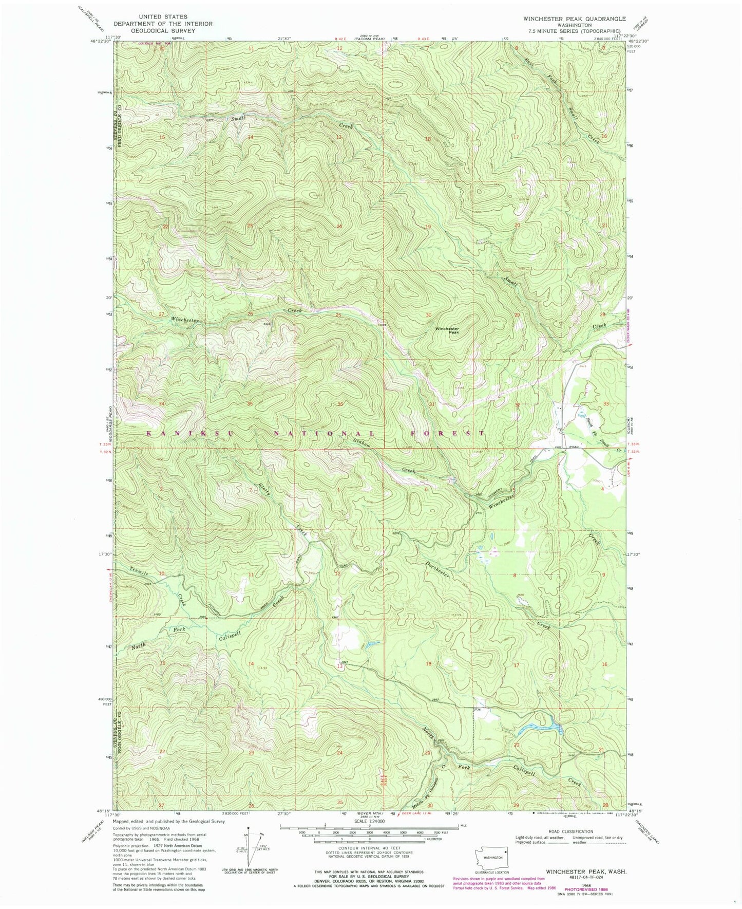
Classic USGS Winchester Peak Washington 7.5'x7.5' Topo Map
Regular price
$16.95
Regular price
Sale price
$16.95
Unit price
per
Couldn't load pickup availability
Historical USGS topographic quad map of Winchester Peak in the state of Washington. Map scale may vary for some years, but is generally around 1:24,000. Print size is approximately 24" x 27"
This quadrangle is in the following counties: Pend Oreille, Stevens.
The map contains contour lines, roads, rivers, towns, and lakes. Printed on high-quality waterproof paper with UV fade-resistant inks, and shipped rolled.
Contains the following named places: Danforth Quarry, Elliott Dam, Gletty Creek, Graham Creek, Knapp Pond, Middle Fork Calispell Creek, Tenmile Creek, Winchester Peak