MyTopo
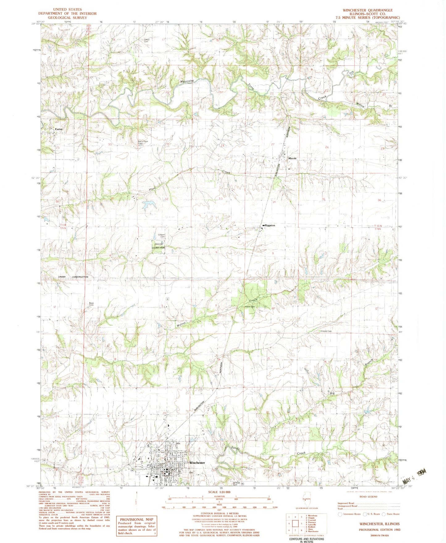
Classic USGS Winchester Illinois 7.5'x7.5' Topo Map
Couldn't load pickup availability
Historical USGS topographic quad map of Winchester in the state of Illinois. Map scale may vary for some years, but is generally around 1:24,000. Print size is approximately 24" x 27"
This quadrangle is in the following counties: Scott.
The map contains contour lines, roads, rivers, towns, and lakes. Printed on high-quality waterproof paper with UV fade-resistant inks, and shipped rolled.
Contains the following named places: Bean Cemetery, Berry Farm Cemetery, Big Branch, Borum Cemetery, Christ Lutheran Church, City of Winchester, East Hickory School, Ebaugh County Park, Etheal Cemetery, Exeter, First Baptist Church, First Christian Church, Freesen Lake, Freesen Lake Dam, Gillham Cemetery, Hawk Cemetery, Kincaid Cemetery, Liberty School, Merritt, Merritt Census Designated Place, Merritt Election Precinct, North College School, Oak Grove School, Overton Cemetery, Parks Robinson Cemetery, Pin Oak School, Pleasant Point School, Riggston, Riggston Census Designated Place, Riggston Post Office, Saint Marks Catholic Church, Saint Mark's Cemetery, School Number 108, Scott County, Scott County Poor Farm, Scott County Sheriff's Office, Seminary School, Victory School, Village of Exeter, Williams School, Willow Branch, Winchester, Winchester Cemetery, Winchester Christian School, Winchester Elementary School, Winchester Emergency Medical Services, Winchester Fellowship Church, Winchester High School, Winchester Historic District, Winchester Number 1 Election Precinct, Winchester Number 2 Election Precinct, Winchester Police Department, Winchester Post Office, Winchester Volunteer Fire Department, Young E S Mac Cemetery