MyTopo
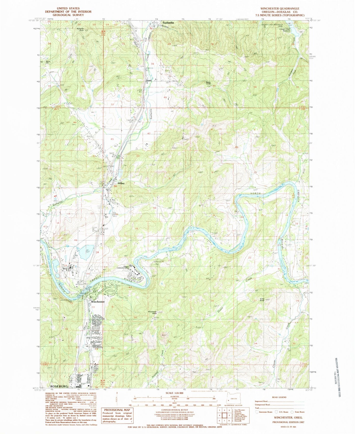
Classic USGS Winchester Oregon 7.5'x7.5' Topo Map
Couldn't load pickup availability
Historical USGS topographic quad map of Winchester in the state of Oregon. Map scale may vary for some years, but is generally around 1:24,000. Print size is approximately 24" x 27"
This quadrangle is in the following counties: Douglas.
The map contains contour lines, roads, rivers, towns, and lakes. Printed on high-quality waterproof paper with UV fade-resistant inks, and shipped rolled.
Contains the following named places: Akin, Amacher County Park, Amacher County Park Boat Ramp, Clover Creek, Cooper Creek, Davis Creek, Davis Hill, Deady, Dixon Creek, Douglas County Fire District 2 Station 4, Douglas County Forest Products Biomass Production, Echo Butte, Mar-Linn Log Pond, Mar-Linn Timber Corporation Log Pond Dike, Omro Post Office, Otey Cemetery, Redbell, Richards Butte, Roseburg North Census Designated Place, Roseburg Winchester Water Treatment Plant, Short Creek, Umpqua Community College, Umpqua Community College Amphitheatre, Umpqua Community College Jacoby Auditorium, Wilbur, Wilbur Cemetery, Wilbur Post Office, Winchester, Winchester Baldy, Winchester Dam, Winchester Elementary School, Winchester Post Office, Winchester Reservoir, ZIP Codes: 97494, 97495