MyTopo
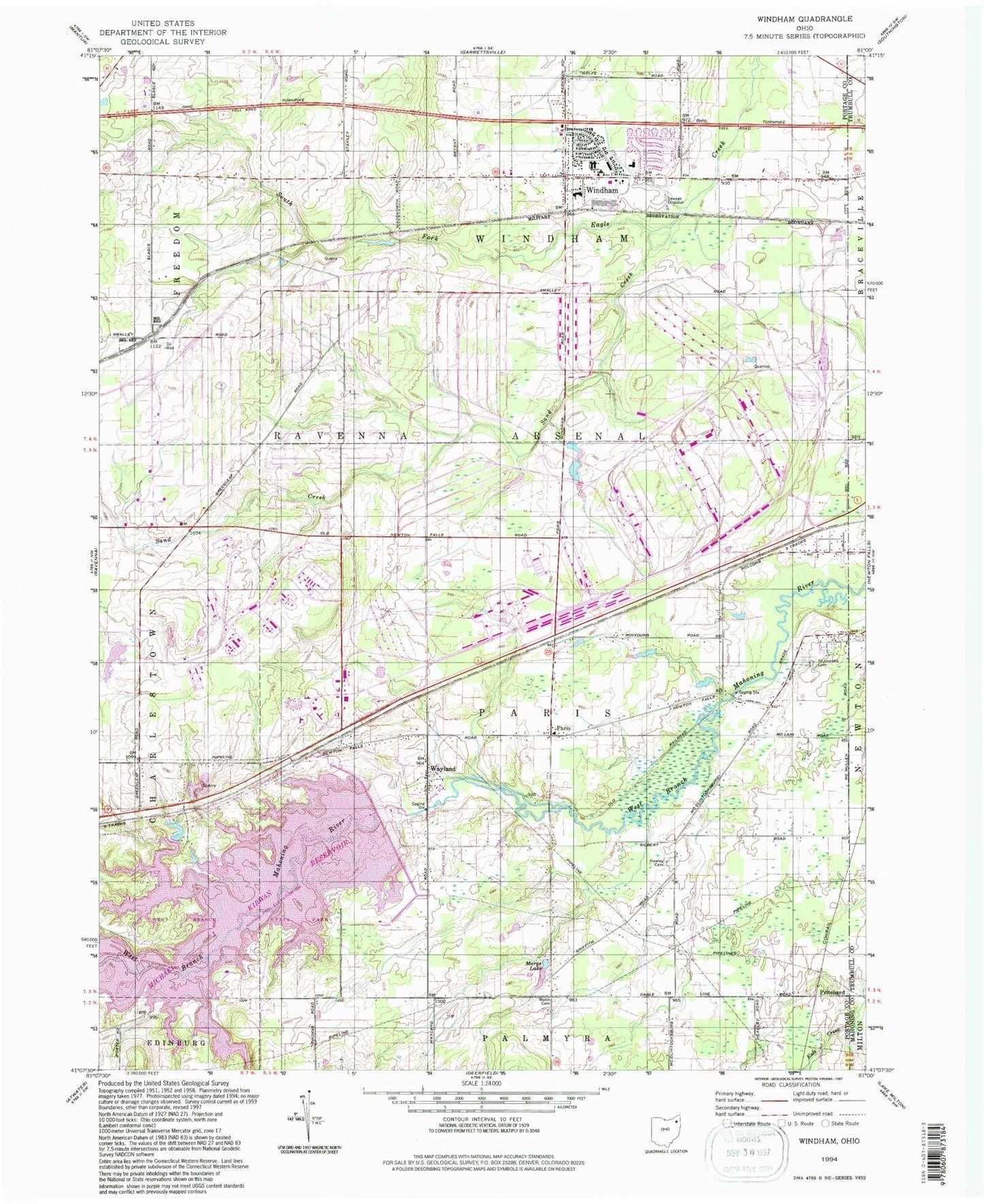
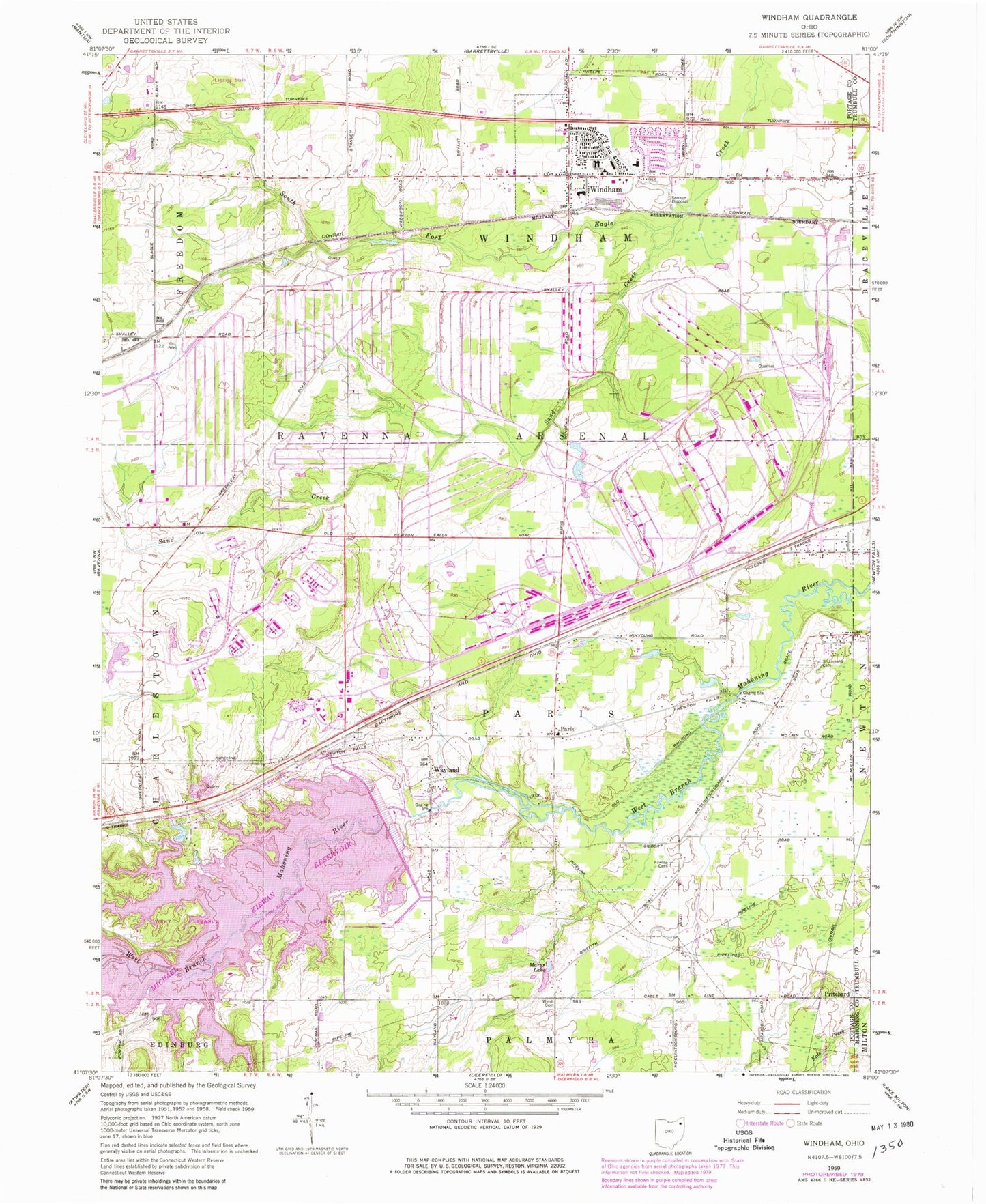
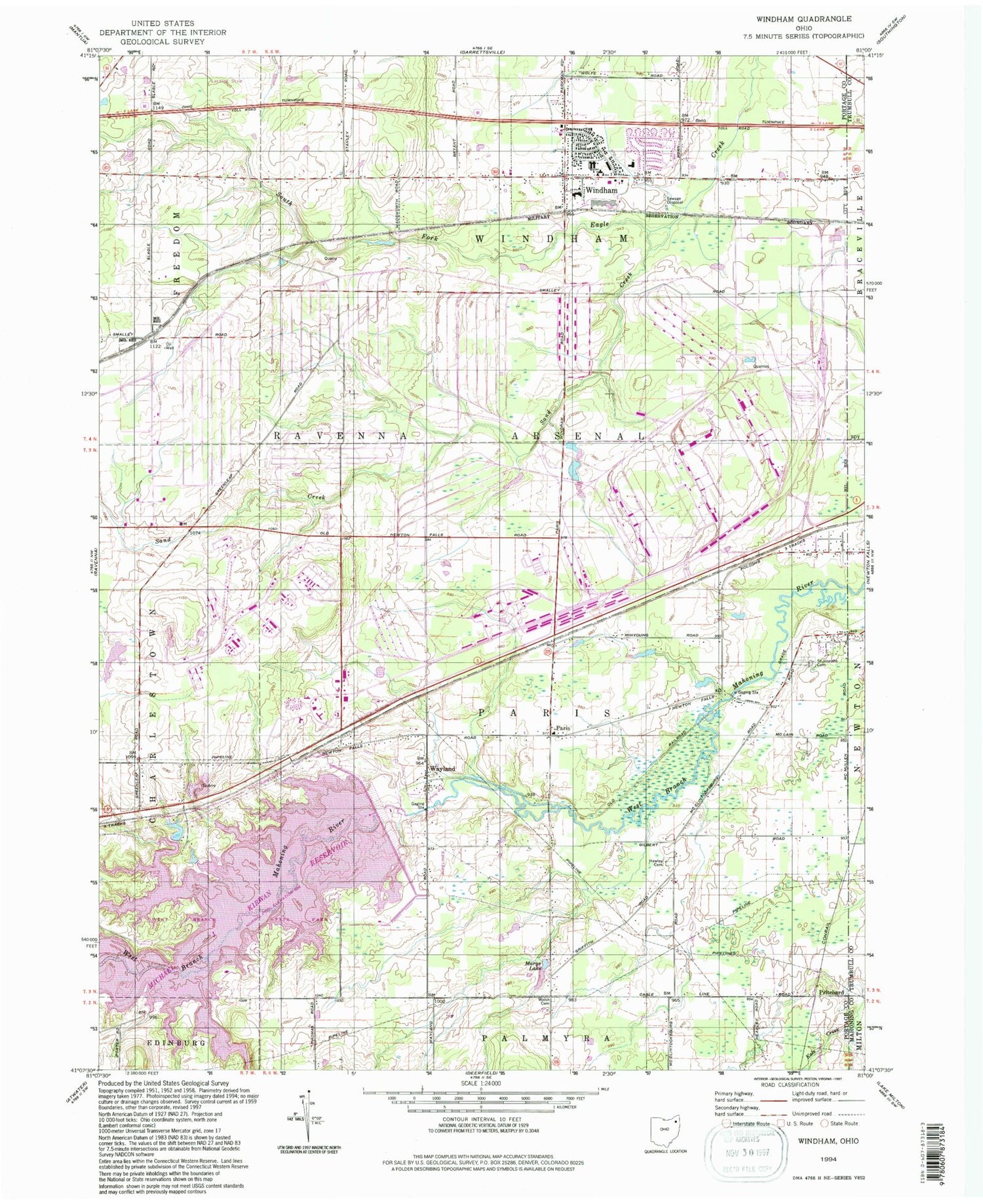
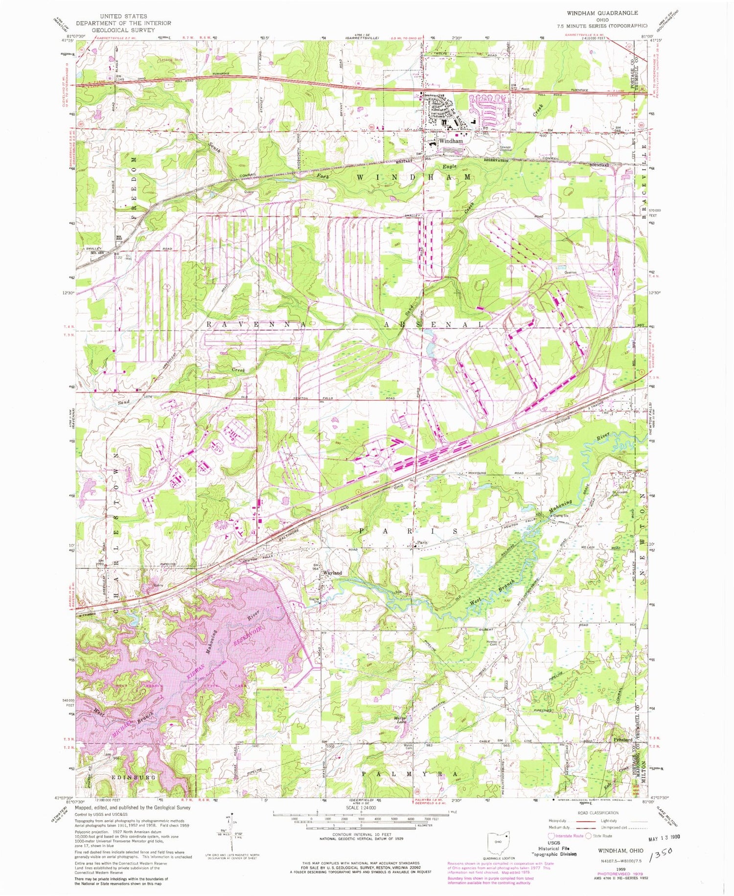
Classic USGS Windham Ohio 7.5'x7.5' Topo Map
Couldn't load pickup availability
Historical USGS topographic quad map of Windham in the state of Ohio. Typical map scale is 1:24,000, but may vary for certain years, if available. Print size: 24" x 27"
This quadrangle is in the following counties: Portage, Trumbull.
The map contains contour lines, roads, rivers, towns, and lakes. Printed on high-quality waterproof paper with UV fade-resistant inks, and shipped rolled.
Contains the following named places: Hawley Cemetery, Marys Lake, Saint Josephs Cemetery, Sand Creek, Welsh Cemetery, West Branch State Park, East Elementary School, Katherine Thomas Elementary School, Windham Elementary School, Windham High School, Greenleaf School (historical), Windham, Wayland Community Church, Paris, Pritchard, Wayland, McClintocksburg, East Davis (historical), Greenleafs Corners (historical), Harrisport (historical), Windham Station (historical), Michael J Kirwan Dam, Bossow Airport (historical), Dunn Field, Township of Paris, Township of Windham, East Boat Ramp, Hickory Island, Silver Creek Bay, Wayland Post Office, Pritchard Post Office (historical), Village of Windham, Ravenna Training and Logistics Site, Purdys Trailer Park, Church of Christ, Church of the Nazarene, Congregational Church of Christ, First Baptist Church, First Church of God, Paris Township Fire Department, Windham Volunteer Fire Department, Longacre Farms, Red Clover Farm, Morningstar Farm, Four Leaf Farm, Rocky Meadow Farms, Dreamland Acres, Windham Police Department, Windham Water Treatment Plant, Windham Post Office


