MyTopo
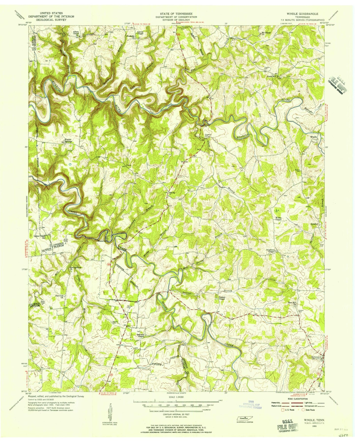
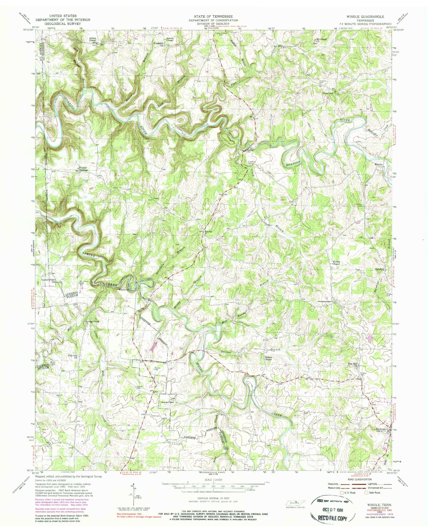
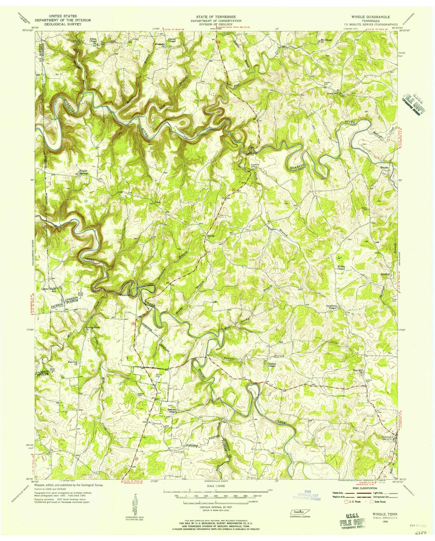
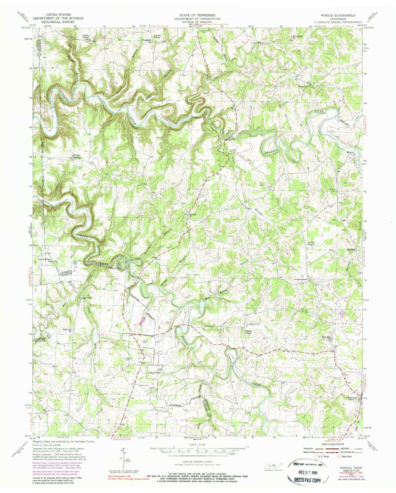
Classic USGS Windle Tennessee 7.5'x7.5' Topo Map
Couldn't load pickup availability
Historical USGS topographic quad map of Windle in the state of Tennessee. Map scale may vary for some years, but is generally around 1:24,000. Print size is approximately 24" x 27"
This quadrangle is in the following counties: Jackson, Overton, Putnam.
The map contains contour lines, roads, rivers, towns, and lakes. Printed on high-quality waterproof paper with UV fade-resistant inks, and shipped rolled.
Contains the following named places: Aarons Chapel, Allen Chapel Cemetery, Allens Chapel, Avoton, Bangham Village, Barnes Cemetery, Bear Creek, Buffalo Branch, Carr Creek, Cleek Branch, Cobble Cemetery, Commissioner District 5, Crawford, Crawford Cemetery, Crawfords Mill, Danner Branch, Davis Mill, Dodson Chapel, Dodson Chapel Cemetery, Dry Hollow Branch, Duncans Chapel, Eckel Cemetery, Fairview Church, Fairview Estates, Flat Creek, Franklin Cemetery, Fredonia Church, Green Valley, Halls Mill, Hardy, Hardys Chapel School, Hardy's Chapel Volunteer Fire Department, Honey Branch, Lick Branch, Little Mill Creek, Lovelady Branch, Lynns Chapel School, Mason Lake, Mason Lake Dam, Mathew Cemetery, Mill Creek, Mill Hardy Branch, Miranda, Moody Branch, Mount Gilead Cemetery, Mount Gilead Church, Myers Mill, Netherland Cemetery, Oneal School, Poplar Springs, Poplar Springs Cemetery, Poplar Springs School, Rachel Estates, Rickman, Rickman Division, Rickman First Baptist Church, Rickman Post Office, Spring Creek Church, Spring Creek State Scenic River, Stockton Estates, Sulphur, Sulphur School, Swallows Chapel, Travis Mill, Turkey Creek, Warren Cemetery, Waterloo, Webbs Chapel, Windle, Zion Hill Cemetery, Zion Hill Church, Zollicoffer Creek


