MyTopo
Classic USGS Window Rock Arizona 7.5'x7.5' Topo Map
Couldn't load pickup availability
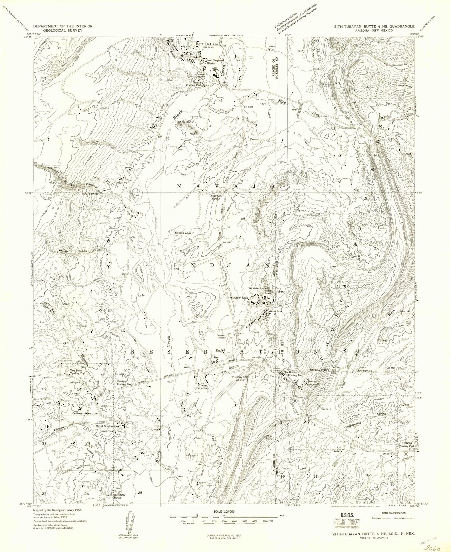
Historical USGS topographic quad map of Window Rock in the states of Arizona, New Mexico. Map scale may vary for some years, but is generally around 1:24,000. Print size is approximately 24" x 27"
This quadrangle is in the following counties: Apache, McKinley.
The map contains contour lines, roads, rivers, towns, and lakes. Printed on high-quality waterproof paper with UV fade-resistant inks, and shipped rolled.
Contains the following named places: Arizona State Inspection Station, Aspen Canyon, Billy Goat Spring, Black Rock, Black Rock Natural Bridge, Bonita Trading Post, Bonito Creek, Butterfly Butte, Cienega Creek, Coal Mine Wash, Damon Lake, Disappearing Spring Wash, Divide Trading Post, Duclos Mine, Fort Defiance, Fort Defiance Census Designated Place, Fort Defiance Elementary School, Fort Defiance Junior High School, Fort Defiance Post Office, Fort Defiance Presbyterian Church, Fort Defiance Trading Post, Good Shepherd Mission, Hilltop Christian School, Juniper Bark Canyon, Karrigan Trading Post, KHAC-AM (Tse Bonito), KHAC-AM (Window Rock), Natural Bridge Canyon, Navajo Bible School, Navajo Department of Dine Education Center, Navajo Housing Authority Building, Navajo Nation Administration Building 1, Navajo Nation Administration Building 2, Navajo Nation Council Chamber, Navajo Nation Department of Fire and Rescue Services Station 10 Window Rock, Navajo Nation Department of Fire and Rescue Services Station 12 Fort Defiance Fire Department, Navajo Nation Department of Highway Safety Building, Navajo Nation Department of Information Technology Building, Navajo Nation Department of Justice Building, Navajo Nation Department of Minerals Building, Navajo Nation Environmental Protection Agency Building, Navajo Nation Museum, Navajo Nation Office of the President and Vice President, Navajo Nation Telecommunication and Utilities Building, Navajo Nation Training Center, Navajo Police Department Window Rock, Navajo Tribal Fairground, Navajo Tribal Zoo, Saint Michael Elementary School, Saint Michael High School, Saint Michaels, Saint Michaels Census Designated Place, Saint Michaels Chapter House, Saint Michaels Mission, Saint Michaels Post Office, Slick Rock Wash, The Haystacks, Thsohotso Wash, Tse Bonita Trading Post, Tse Bonita Tribal Park, Tse Bonito, Tse Bonito Campground, Tse Bonito Census Designated Place, Tse Bonito Valley, Tuller Pre School, Two Story Trading Post, Window Rock, Window Rock Airport, Window Rock Census Designated Place, Window Rock Elementary School, Window Rock High School, Window Rock Police Department, Window Rock Post Office, Window Rock United Methodist Church, Yellow Meadow


