MyTopo
Classic USGS Windsor New York 7.5'x7.5' Topo Map
Couldn't load pickup availability
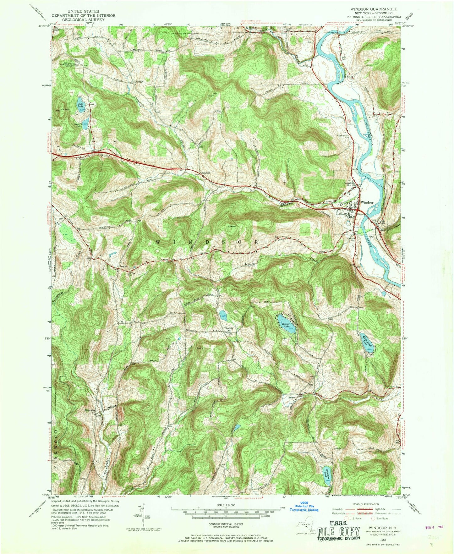
Historical USGS topographic quad map of Windsor in the state of New York. Map scale may vary for some years, but is generally around 1:24,000. Print size is approximately 24" x 27"
This quadrangle is in the following counties: Broome.
The map contains contour lines, roads, rivers, towns, and lakes. Printed on high-quality waterproof paper with UV fade-resistant inks, and shipped rolled.
Contains the following named places: Agfa Lake, Beaver Lake, Bell Road Quarry, Blatchley, Dunbar, Edson, Flowers, Forest View Mobile Home Park, Free Methodist Church, Hawkins Pond, Hawkins Pond Quarry, Hotchkiss Creek, Knox Cemetery, Lakeside Campground, Lester, Lester Baptist Church, Lyons Farm Cemetery, Mountain View Cemetery, Occanum, Occanum Community Church, Occanum Creek, Occanum Falls Mobile Home Park, Old Stone House Museum, Ouaquaga Bridge, Our Lady of Lourdes Roman Catholic Church, Riley Farm Cemetery, Riverside Cemetery, Rogers Lake, Sage Creek, Sanford Creek, Still Creek, Sunshine Valley Wesleyan Church, Susquehanna River Bridge, Town of Windsor, Village of Windsor, White Birch Lake, Windsor, Windsor Central High School, Windsor Elementary School, Windsor Fire Company Station 1, Windsor Fire Company Station 2, Windsor Pilgrim Holiness Church, Windsor Post Office, Windsor Presbyterian Church, Windsor Town Hall, Windsor Village Cemetery, ZIP Code: 13826


