
MyTopo
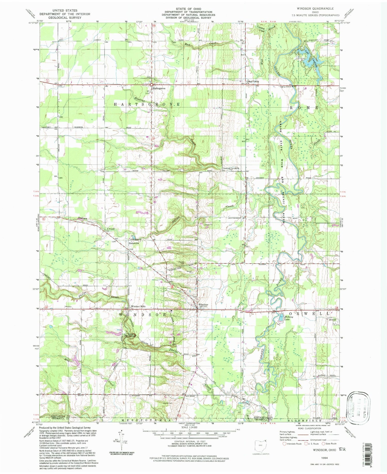
Classic USGS Windsor Ohio 7.5'x7.5' Topo Map
Couldn't load pickup availability
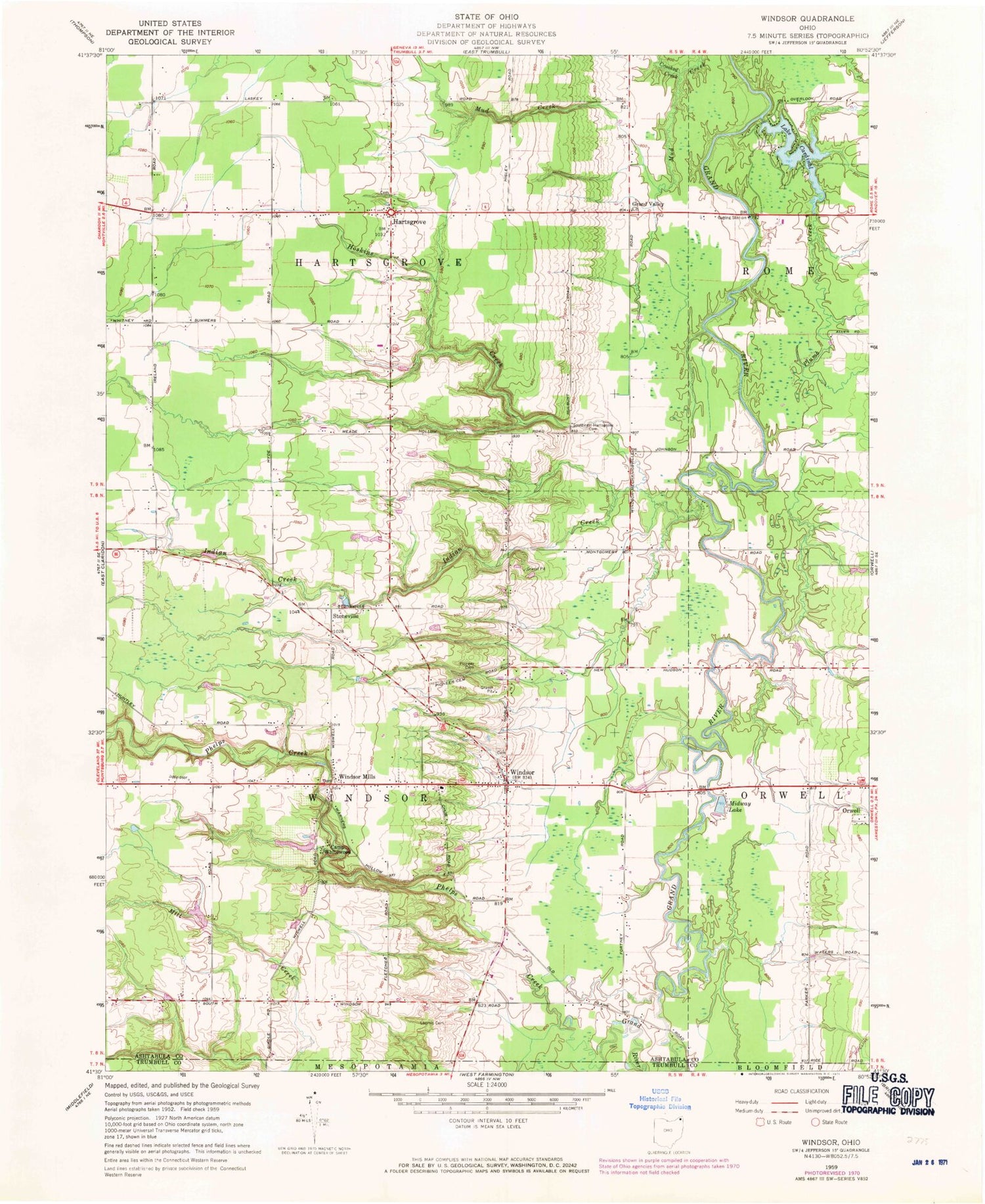
Historical USGS topographic quad map of Windsor in the state of Ohio. Typical map scale is 1:24,000, but may vary for certain years, if available. Print size: 24" x 27"
This quadrangle is in the following counties: Ashtabula, Trumbull.
The map contains contour lines, roads, rivers, towns, and lakes. Printed on high-quality waterproof paper with UV fade-resistant inks, and shipped rolled.
Contains the following named places: Camp Whitewood, Crooked Creek, Crooked Creek, Grand Valley Church, Hoskins Creek, Indian Creek, Loomis Cemetery, Midway Lake, Pioneer Cemetery, Plumb Creek, Southeast Hartsgrove Cemetery, Stoneville, Windsor Mills, Windsor Elementary School, Warner Hollow Bridge, Amish Church (historical), Windsor, Hartsgrove United Church of Christ, Windsor United Methodist Church, Hartsgrove, Phelps Creek, Christ Church Episcopal, Windsor Corners Historic District, Lake Cardinal Dam, Lake Cardinal, Camp Whitewood Lake Dam, Camp Whitewood Lake, Township of Hartsgrove, Township of Windsor, Windsor Corners Cemetery, Windsor Mill Cemetery, Hartsgrove Township Cemetery, Windsor Mills Cemetery, Windsor Township Cemetery, Windsor Post Office, Hartsgrove Post Office (historical), Stoneville Post Office (historical), Windsor Mills Post Office (historical), Windsor Fire and Rescue, Hartsgrove Volunteer Fire Department, Buckeye Farms, Doubletake Farm, Hornung Hops Farms, Crooked Creek Farm, Lake Lobo Farm, Marshy Meadows Farm, Windsor Greenhouse


