MyTopo
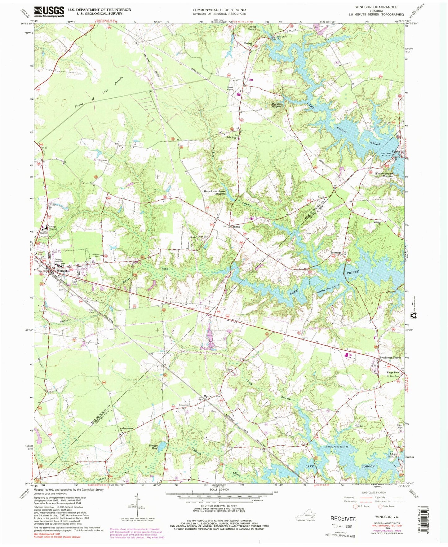
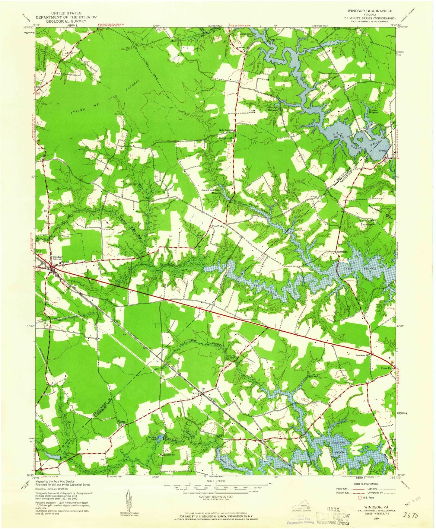
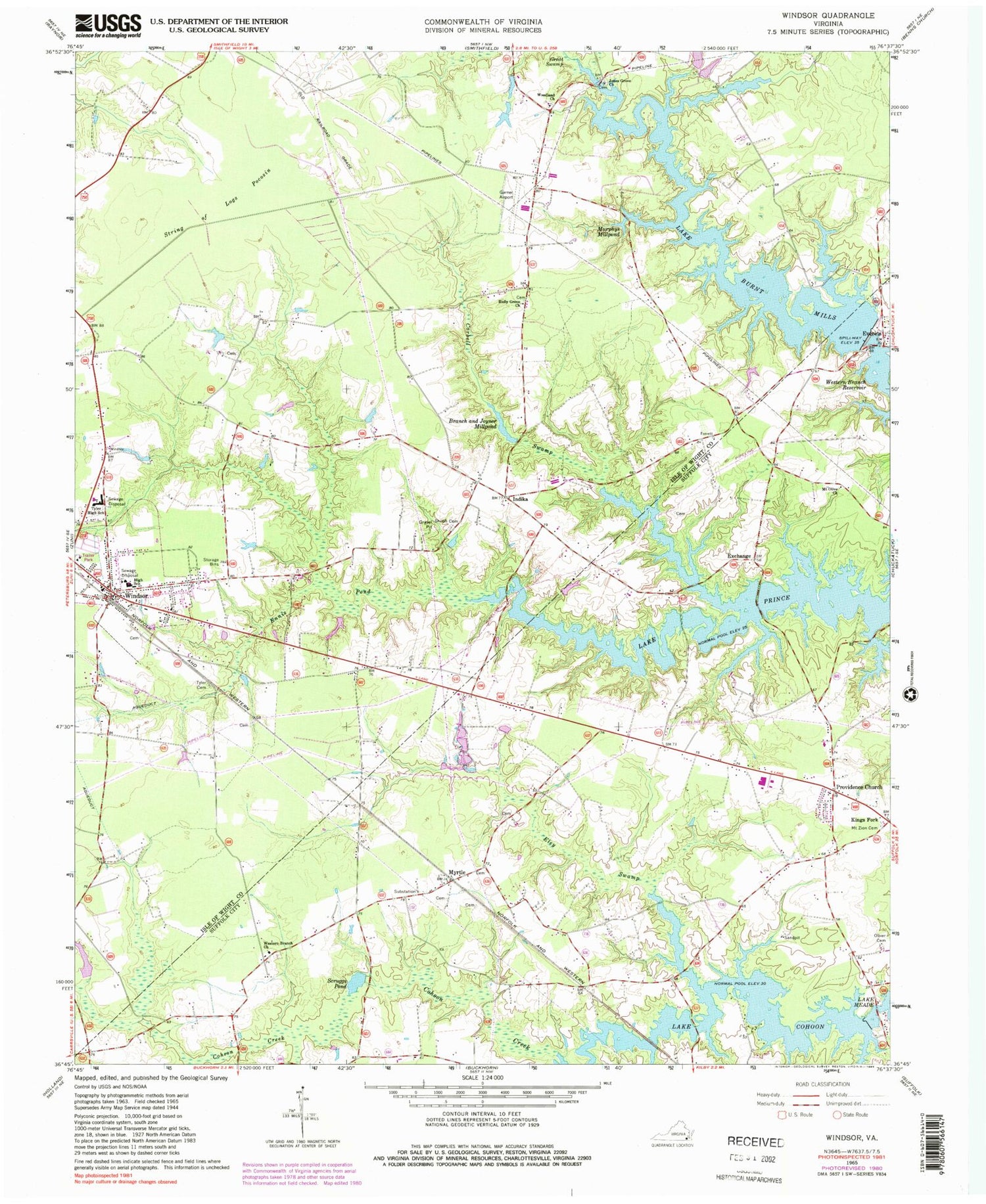
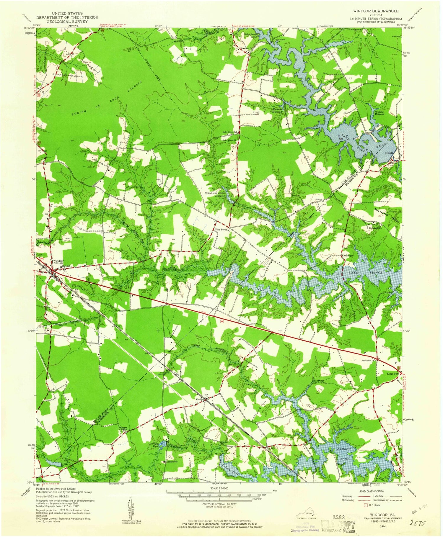
Classic USGS Windsor Virginia 7.5'x7.5' Topo Map
Couldn't load pickup availability
Historical USGS topographic quad map of Windsor in the state of Virginia. Typical map scale is 1:24,000, but may vary for certain years, if available. Print size: 24" x 27"
This quadrangle is in the following counties: Isle of Wight, Suffolk (city).
The map contains contour lines, roads, rivers, towns, and lakes. Printed on high-quality waterproof paper with UV fade-resistant inks, and shipped rolled.
Contains the following named places: Branch and Joyner Millpond, Carbell Swamp, Ennis Pond, Great Swamp, Holly Grove Church, Jones Grove Church, Murphys Millpond, Shiloh Cemetery, String of Logs Pocosin, Tyler Cemetery, Windsor Elementary School, Woodland Church, Indika, Cohoon Creek, Eley Swamp, Exchange, Mount Olive Church, Little Mount Zion Cemetery, Myrtle, Oliver Cemetery, Providence Church, Scruggs Pond, Western Branch Church, Lake Rhodes Dam, Lake Rhodes, Garner Airport, Everets, Windsor, Lake Cohoon Dam, Lake Burnt Mills Dam, Lake Burnt Mills, Lake Prince, Lake Cohoon, Lake Burnt Mills, WXRI-FM (Windsor), Acorn Acres, Exchange School (historical), Greshen School (historical), Idlewood, Lake Prince Farms, Lake Prince Meadows, Pruden Center for Industry / Technology, Holly Grove School (historical), Prudens Millpond, Windsor Cemetery, Windsor Baptist Church, Windsor Christian Church, Windsor High School, Windsor District, Windsor Volunteer Fire Department, Windsor Volunteer Rescue Squad, Windsor Volunteer Rescue Squad, Town of Windsor, Windsor Middle School, Western Bridge Boat Ramp, Windsor Post Office, Twin Ponds Mobile Home Park, Windsor Manor Mobile Home Park, Tandem Health Care of Windsor Nursing Home, Windsor Public Library, Windsor Town Hall, Windsor Police Department, Albert G Horton Junior Memorial Veterans Cemetery, Consulate Health Care of Windsor


