MyTopo
Classic USGS Windy Butte Montana 7.5'x7.5' Topo Map
Regular price
$16.95
Regular price
Sale price
$16.95
Unit price
per
Couldn't load pickup availability
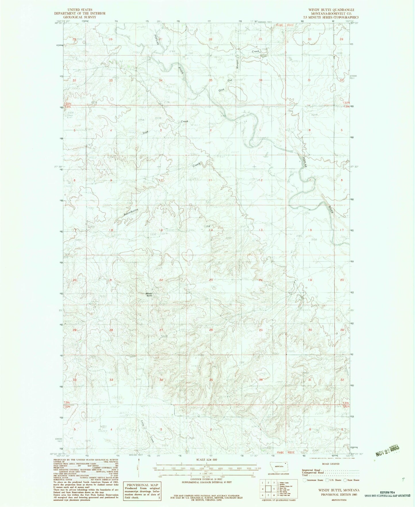
Historical USGS topographic quad map of Windy Butte in the state of Montana. Map scale may vary for some years, but is generally around 1:24,000. Print size is approximately 24" x 27"
This quadrangle is in the following counties: Roosevelt.
The map contains contour lines, roads, rivers, towns, and lakes. Printed on high-quality waterproof paper with UV fade-resistant inks, and shipped rolled.
Contains the following named places: 30N49E03ABDD01 Well, 31N49E11BACB01 Well, 31N49E11BBD_01 Well, 31N49E25BBCB01 Well, Assiniboine Creek, Cusker School, Cuskers House, Cuskerton Post Office, Give Out Morgan Creek, Hughes School, J B Airport, Rush School, Sage Creek, Thompson School, Windy Butte