MyTopo
Classic USGS Windy Point Oregon 7.5'x7.5' Topo Map
Couldn't load pickup availability
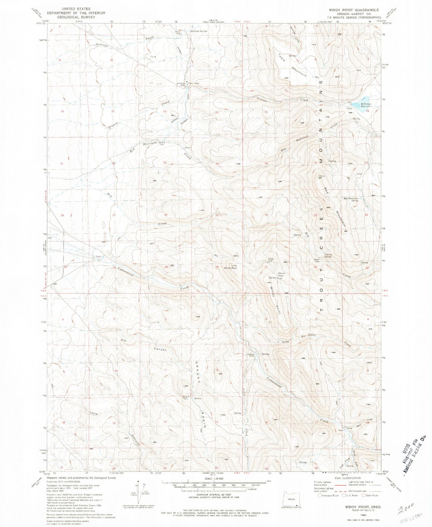
Historical USGS topographic quad map of Windy Point in the state of Oregon. Map scale may vary for some years, but is generally around 1:24,000. Print size is approximately 24" x 27"
This quadrangle is in the following counties: Harney.
The map contains contour lines, roads, rivers, towns, and lakes. Printed on high-quality waterproof paper with UV fade-resistant inks, and shipped rolled.
Contains the following named places: Als Canyon, Antelope Springs, Antelope Well, Cherry Spring, Cold Creek, Crow Creek, Dry Creek, Grassy Basin, Hamilton Ranch, Holloway Ditch, Little Windy Pass, Oreana Creek, Oriana Dam, Oriana Reservoir, Red Mountain, Red Mountain Reservoir, Red Mountain Spring, Table Mountain, Windy Pass, Windy Point