MyTopo
Classic USGS Windy Point Washington 7.5'x7.5' Topo Map
Couldn't load pickup availability
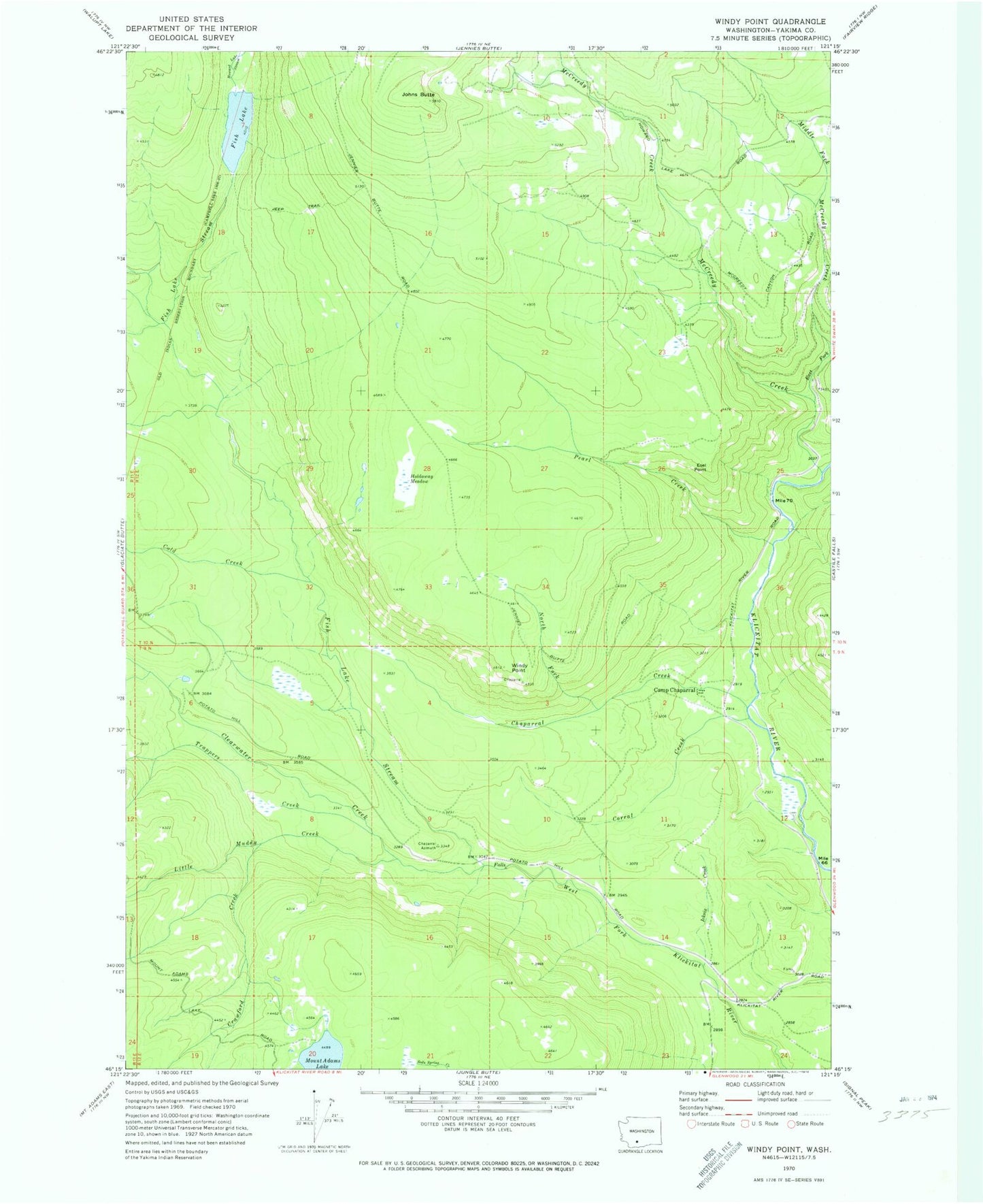
Historical USGS topographic quad map of Windy Point in the state of Washington. Map scale may vary for some years, but is generally around 1:24,000. Print size is approximately 24" x 27"
This quadrangle is in the following counties: Yakima.
The map contains contour lines, roads, rivers, towns, and lakes. Printed on high-quality waterproof paper with UV fade-resistant inks, and shipped rolled.
Contains the following named places: Camp Chaparral, Chaparral Creek, Clearwater Creek, Cold Creek, Corral Creek, Crawford Creek, East Fork McCreedy Creek, Esel Point, Fish Lake, Fish Lake Stream, Holdaway Meadow, Howard Lake Stream, Icksix Creek, Johns Butte, Little Muddy Creek, McCreedy Creek, Middle Fork McCreedy Creek, Mount Adams Lake, North Fork Chaparral Creek, Pearl Creek, Trappers Creek, Windy Point