MyTopo
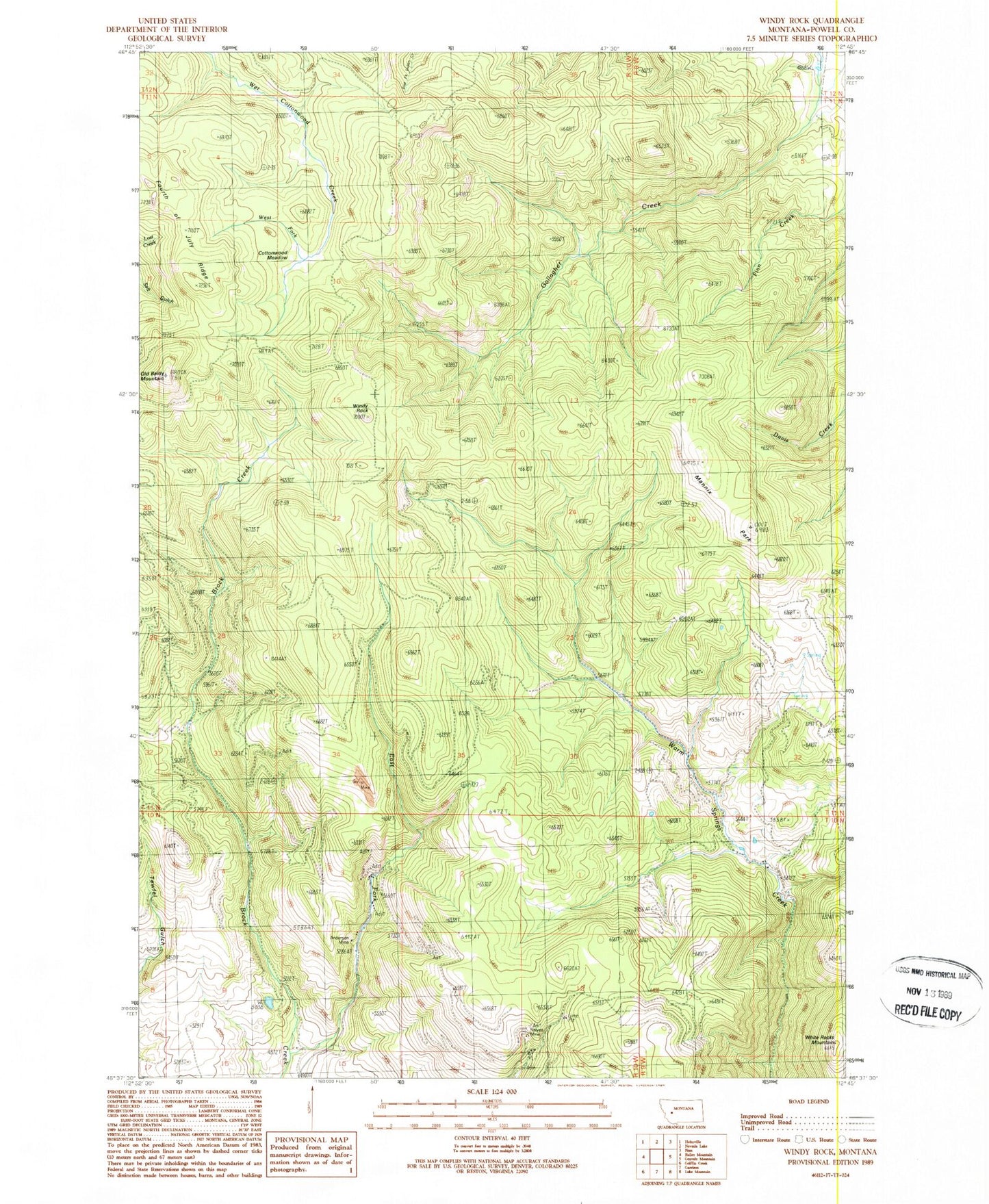
Classic USGS Windy Rock Montana 7.5'x7.5' Topo Map
Regular price
$16.95
Regular price
Sale price
$16.95
Unit price
per
Couldn't load pickup availability
Historical USGS topographic quad map of Windy Rock in the state of Montana. Map scale may vary for some years, but is generally around 1:24,000. Print size is approximately 24" x 27"
This quadrangle is in the following counties: Powell.
The map contains contour lines, roads, rivers, towns, and lakes. Printed on high-quality waterproof paper with UV fade-resistant inks, and shipped rolled.
Contains the following named places: 09N10W14CDCD01 Well, 09N10W16AADB01 Well, Anderson Mine, Cottonwood Meadow, East Fork Brock Creek, Mannix Park, NE NW Section 7 Mine, Old Baldy Mountain, Relyea Mine, Sharkeyville, Silver La Donna Mine, West Fork Wet Cottonwood Creek, White Rocks Mountain, Windy Rock