MyTopo
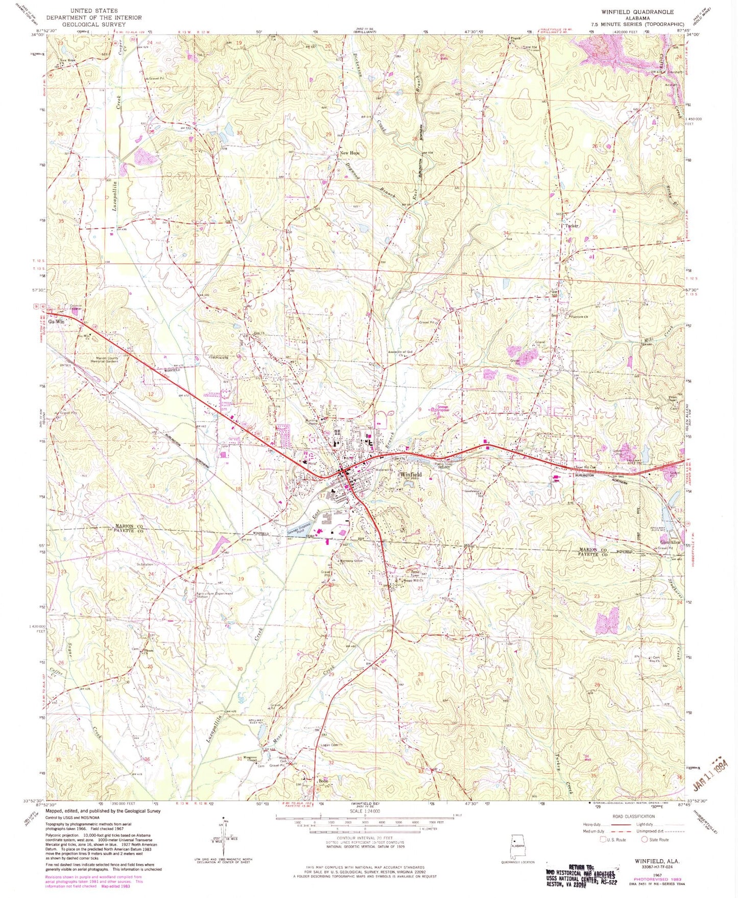
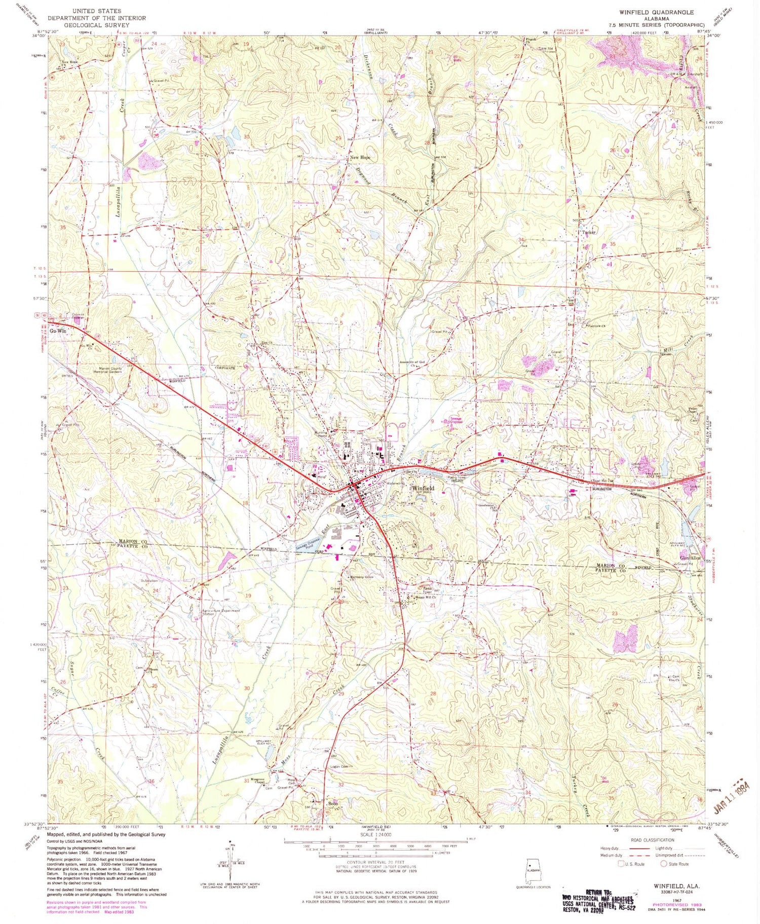
Classic USGS Winfield Alabama 7.5'x7.5' Topo Map
Couldn't load pickup availability
Historical USGS topographic quad map of Winfield in the state of Alabama. Map scale may vary for some years, but is generally around 1:24,000. Print size is approximately 24" x 27"
This quadrangle is in the following counties: Fayette, Marion.
The map contains contour lines, roads, rivers, towns, and lakes. Printed on high-quality waterproof paper with UV fade-resistant inks, and shipped rolled.
Contains the following named places: Assembly of God Church, Bobo, Bobo High School, Chapel Hill Church, City of Winfield, Coffee Creek, Cooper Creek, Dickenson Creek, Dogwood Branch, East Branch Luxapallila Creek, Elam Cemetery, Elm Church, Estes Hudson Stadium, Fairview Cemetery, Fairview United Methodist Church, First Baptist Church, First Methodist Church, Goodwater Cemetery, Goodwater Church, Gu -Win Church, Happy Hill Church, Happy Hill Gas Field, Harmony Grove Baptist Church, Harmony Grove Cemetery, Hillcrest Cemetery, Hillcrest Church, Holt Dam, Langley Dam, Langley Lake, Logan Cemetery, Moss Cemetery, Moss Creek, Mount Calvary Church, Mount Pisgah United Methodist Church, Mulberry School, Musgrove Cemetery, Musgrove Chapel, New Hope, New Hope Baptist Church, New Hope Cemetery, New Hope Church of Christ, Northwest Medical Center, Riley Baccus Family Cemetery, Scuffle Grit Cemetery, Siloam Baptist Church, Siloam Cemetery, Town of Gu-Win, Tucker, Union Chapel Cemetery, Union Chapel Freewill Baptist Church, Vaughn Cemetery, W72A-TV (Winfield), West Alabama Memorial Gardens, WEZQ-AM (Winfield), Winfield, Winfield Church of Christ, Winfield City Cemetery, Winfield Division, Winfield Elementary School, Winfield Fire Department, Winfield Freewill Baptist Church, Winfield High School, Winfield Police Department, Winfield Post Office, Winfield Public Library, Zion Baptist Church, Zion Cemetery, Zion Church, ZIP Code: 35594


