MyTopo
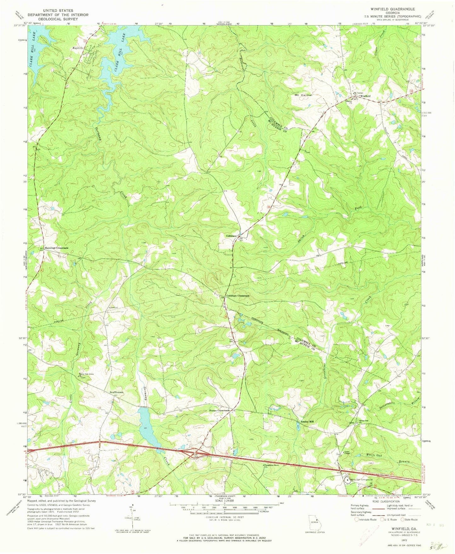
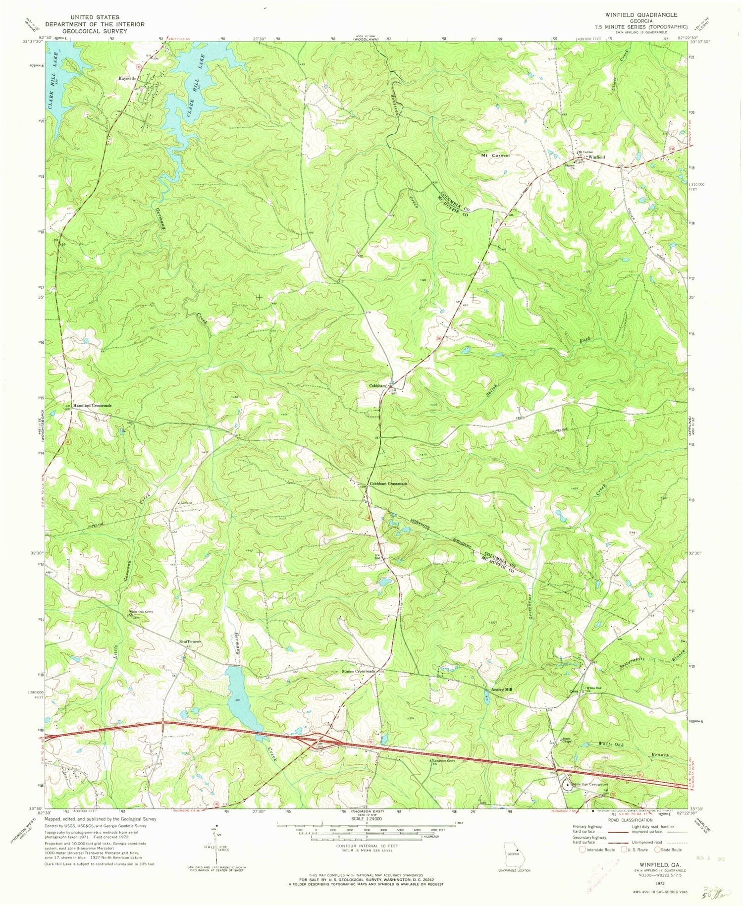
Classic USGS Winfield Georgia 7.5'x7.5' Topo Map
Couldn't load pickup availability
Historical USGS topographic quad map of Winfield in the state of Georgia. Map scale may vary for some years, but is generally around 1:24,000. Print size is approximately 24" x 27"
This quadrangle is in the following counties: Columbia, McDuffie.
The map contains contour lines, roads, rivers, towns, and lakes. Printed on high-quality waterproof paper with UV fade-resistant inks, and shipped rolled.
Contains the following named places: Ansley Mill, Boydsville High School, Cobbham, Cobbham Crossroads, Collins Cemetery, First Mount Carmel Baptist Church Cemetery, Hamilton Crossroads, Harrison Lake A, Harrison Lake B, Harrison Lake B Dam, Harrison Lake Dam, Holly Grove School, Hosea Chapel, Jones Chapel, Langston Grove Church, Little Germany Creek, Martinez - Columbia Fire Rescue Station 13, McDuffie County Fire Department Station 4, McDuffie County Fire Department Station 6, Morris School, Mount Carmel, Mount Carmel Church, Muddy Branch, Poplar Springs Church, Raysville, Redoak School, Republican School, Rousseau Spring, Scuffletown, Sharon Baptist Church Cemetery, Sharon Church, Shiloh, Shiloh Church, Sills Branch, Stones Crossroads, White Oak Campground, White Oak Cemetery, White Oak Church, White Oak Grove Church, Winfield