MyTopo
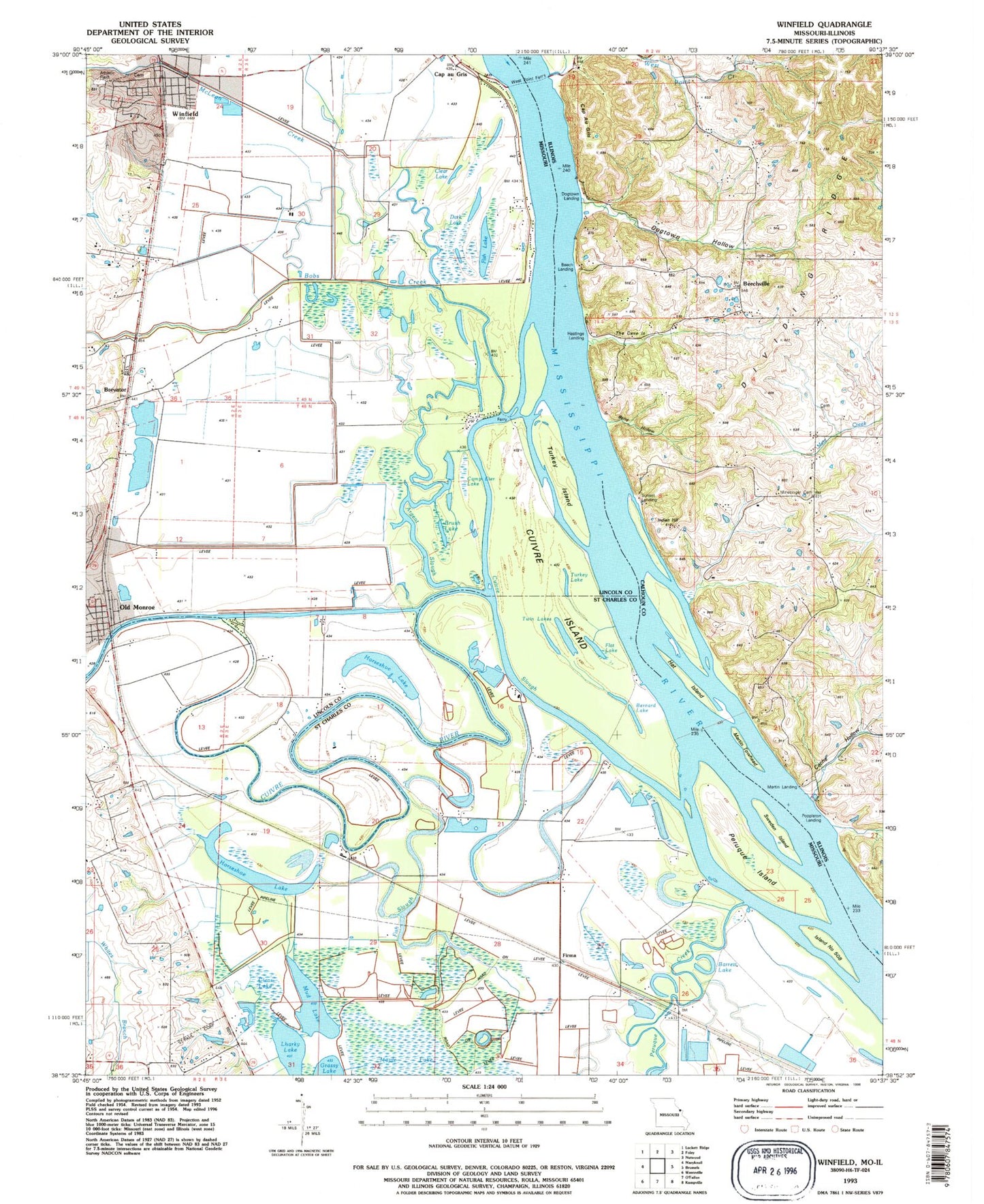
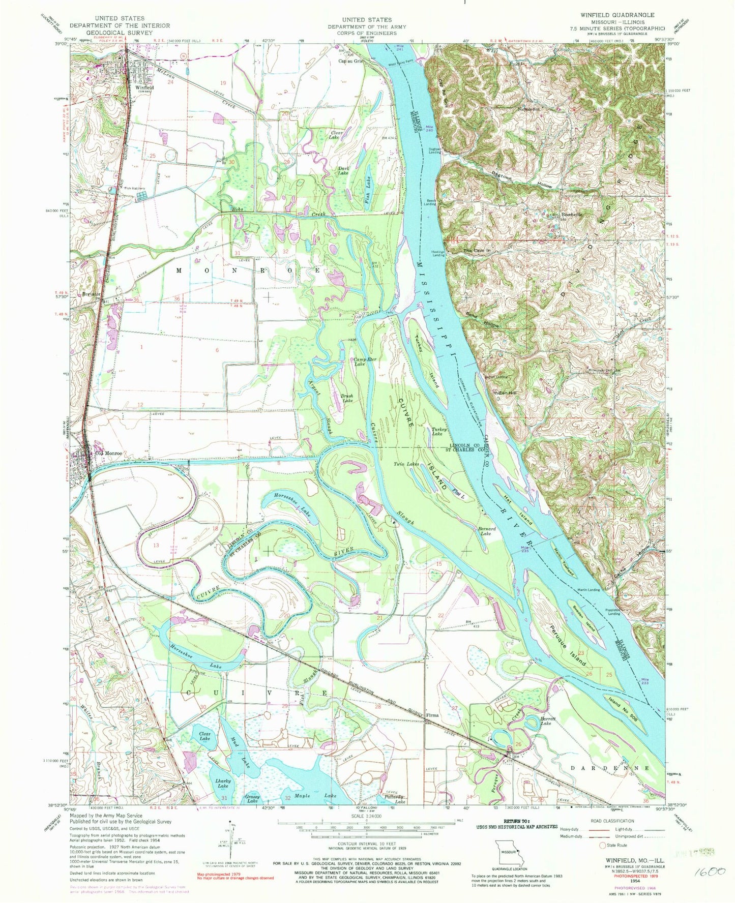
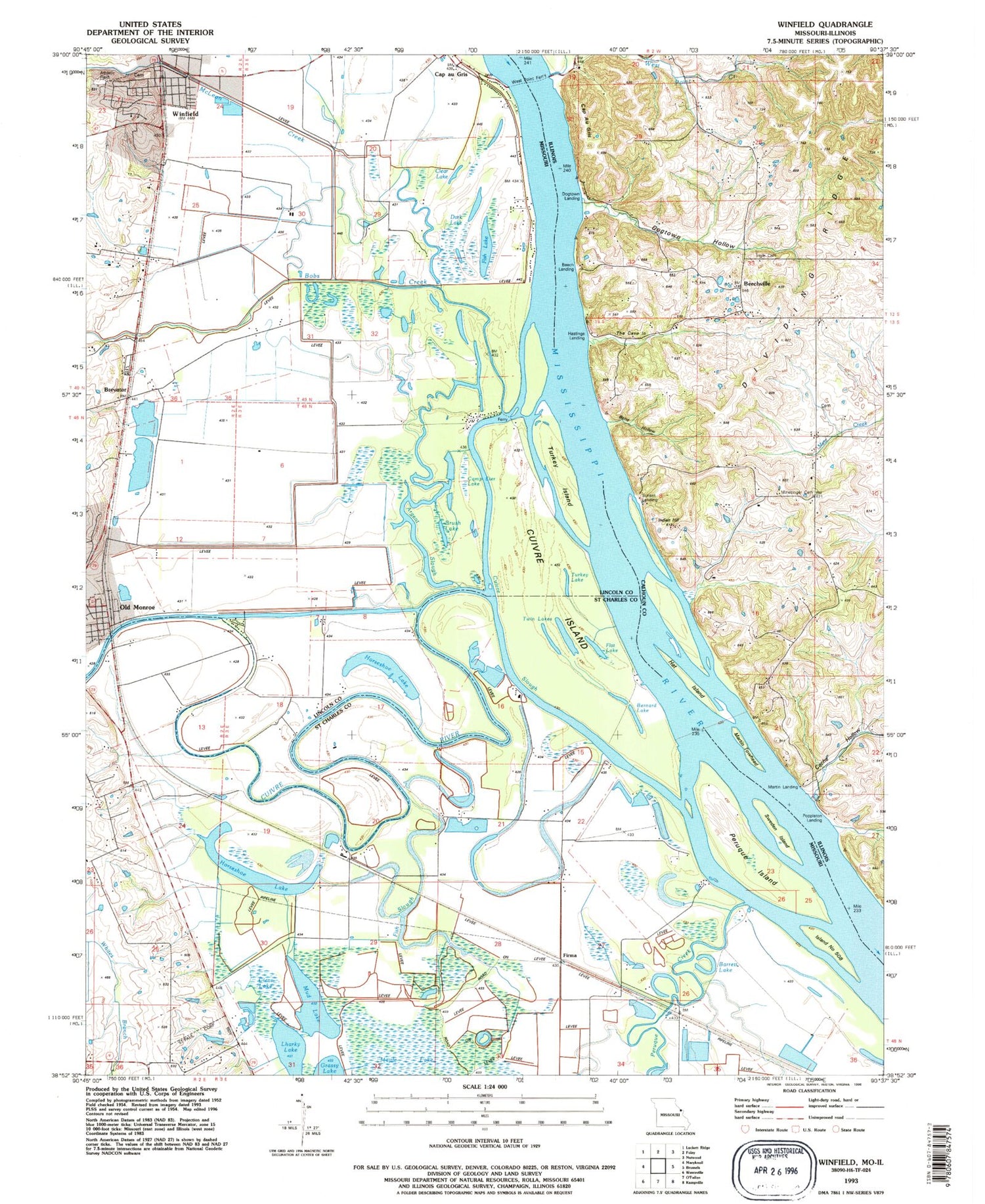
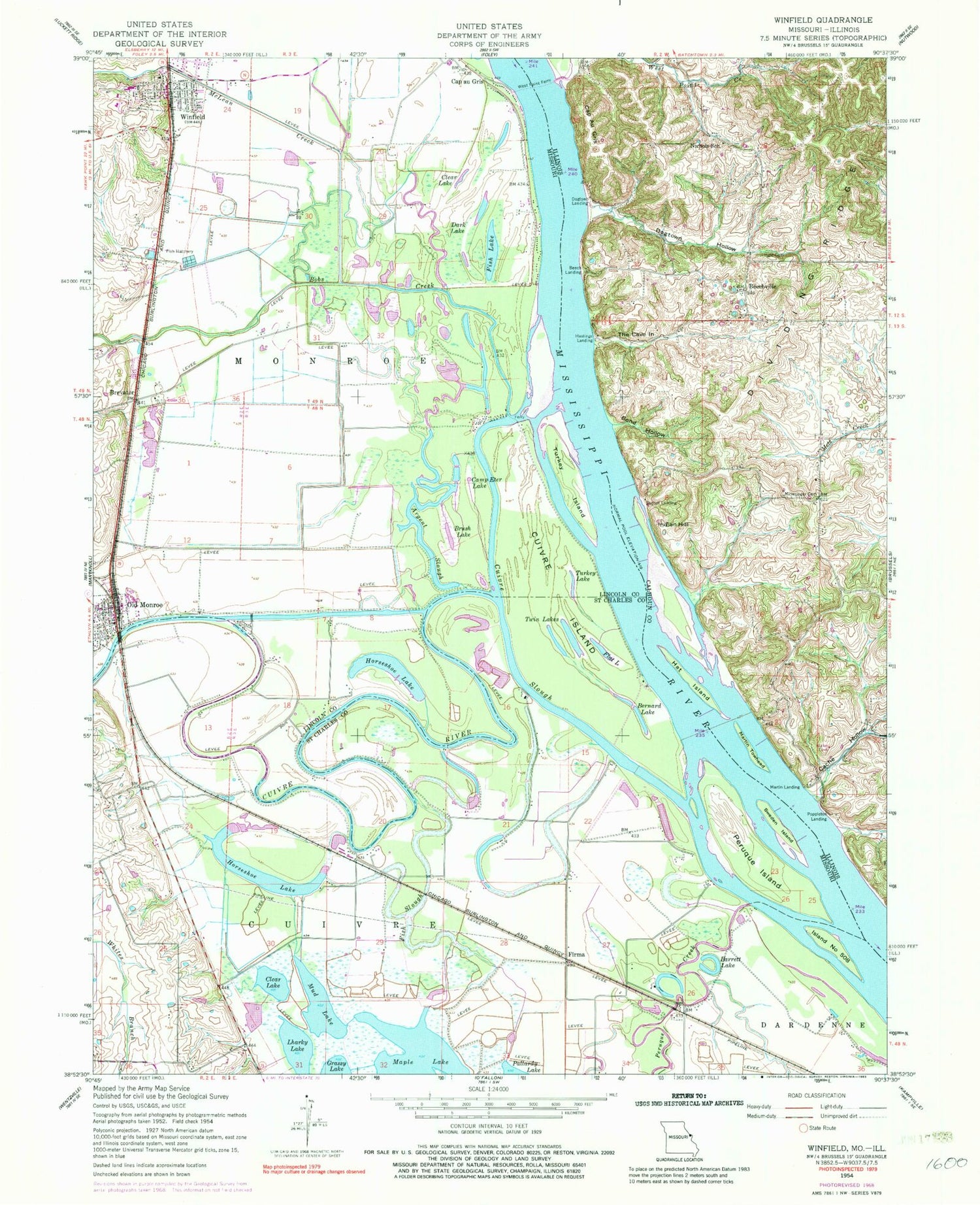
Classic USGS Winfield Missouri 7.5'x7.5' Topo Map
Couldn't load pickup availability
Historical USGS topographic quad map of Winfield in the states of Missouri, Illinois. Typical map scale is 1:24,000, but may vary for certain years, if available. Print size: 24" x 27"
This quadrangle is in the following counties: Calhoun, Lincoln, St. Charles.
The map contains contour lines, roads, rivers, towns, and lakes. Printed on high-quality waterproof paper with UV fade-resistant inks, and shipped rolled.
Contains the following named places: Argent Slough, Brush Lake, Camp Eter Lake, Cuivre Island, Dark Lake, Fish Lake, Turkey Island, Turkey Lake, Winfield, Old Monroe Mounds, Cuivre Canal, Bobs Creek, Cap au Gris, Clear Lake, Horseshoe Lake, McLean Creek, Old Monroe, Brevator, Fort Cape au Gris (historical), Barrett Lake, Bernard Lake, Clear Lake, Cuivre River, Cuivre Slough, Firma, Fish Slough, Horseshoe Lake, Island Number 508, Lharky Lake, Maple Lake, Mud Lake, Peruque Creek, Peruque Island, Sweden Island, Twin Lakes, Hayden School (historical), Maple School (historical), Dolbow (historical), Richfield, Cuivre Junction (historical), Westhoff Dam, Westhoff Lake, City of Old Monroe, City of Winfield, Winfield Cemetery, Winfield - Foley Fire Protection District Station 1, Old Monroe Fire Protection District Station 1, Winfield Middle School, Winfield Primary School, Winfield Intermediate School, Winfield Police Department, Winfield Post Office, Old Monroe Post Office, Bond Hollow, Cache Hollow, Cap Au Gris, Dogtown Hollow, Hat Island, Indian Hill, Ingle Cemetery, Martin Towhead, Minesinger Cemetery, Nichols School (historical), The Cave In, West Point Ferry, Johnson Island, Beech Landing, Beechville, Dogtown Landing, Hastings Landing, Martin Landing, Poppleton Landing, Sunset Landing, West Point Ferry, Western School (historical)


